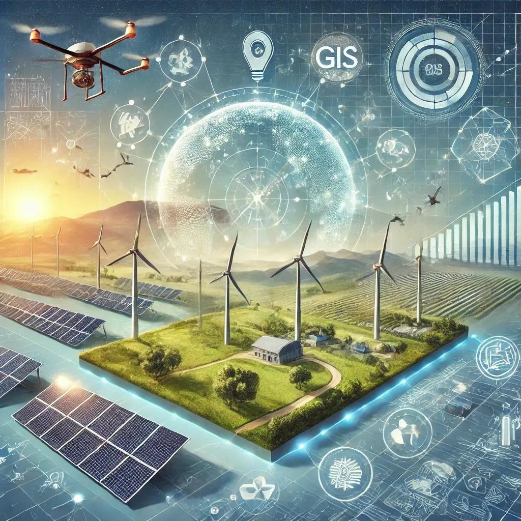
The quest for sustainable energy solutions has led to significant advancements in harnessing renewable resources like solar and wind power. Geospatial technology plays a pivotal role in optimizing the planning, deployment, and management of these renewable energy systems. This article delves into how geospatial technology is revolutionizing the renewable energy sector, with a focus on solar and wind power.
Understanding Geospatial Technology
Geospatial technology encompasses a suite of tools and techniques used to capture, analyze, and visualize spatial data. The core components include Geographic Information Systems (GIS), remote sensing, Global Positioning Systems (GPS), and geospatial data analysis. These technologies provide critical insights into spatial relationships and patterns, which are essential for effective decision-making in various domains, including renewable energy.
Role of Geospatial Technology in Solar Energy
1. Site Selection and Assessment:
The efficiency of solar power systems largely depends on the location. Geospatial technology aids in identifying optimal sites for solar farms by analyzing various factors such as solar radiation, topography, land use, and environmental constraints. GIS-based solar resource mapping allows for the visualization of solar irradiance levels across different regions, helping stakeholders select sites with maximum sunlight exposure.
2. Resource Assessment:
Remote sensing technology, particularly satellite imagery, plays a crucial role in assessing solar resources. High-resolution images from satellites like Landsat and Sentinel provide data on cloud cover, atmospheric conditions, and surface albedo, which influence solar radiation levels. These datasets are integrated into GIS platforms to create detailed solar radiation maps, enabling accurate estimation of potential solar energy generation.
3. Environmental Impact Analysis:
Geospatial technology facilitates comprehensive environmental impact assessments (EIAs) for solar projects. By overlaying environmental datasets, such as wildlife habitats, water bodies, and protected areas, GIS helps identify potential environmental risks and mitigate adverse effects. This ensures that solar projects comply with environmental regulations and promote sustainable development.
4. Infrastructure Planning:
Efficient infrastructure planning is critical for the success of solar projects. GIS aids in designing the layout of solar panels, optimizing land use, and planning for access roads and transmission lines. By simulating different scenarios, GIS helps determine the most cost-effective and efficient infrastructure design, minimizing land disturbance and maximizing energy output.
5. Performance Monitoring and Maintenance:
Geospatial technology enables real-time monitoring of solar power plants. By integrating data from sensors and satellite imagery, GIS platforms provide insights into the performance of solar panels, identifying issues such as shading, dirt accumulation, or equipment malfunction. This facilitates proactive maintenance, reducing downtime and ensuring optimal energy production.
Role of Geospatial Technology in Wind Energy
1. Wind Resource Assessment:
Accurate assessment of wind resources is crucial for the viability of wind power projects. Geospatial technology leverages remote sensing data, meteorological models, and GIS to analyze wind patterns, speed, and direction. Wind resource maps created using these data sources help identify high-potential sites for wind farms, optimizing energy capture.
2. Site Suitability Analysis:
Similar to solar energy, site selection for wind farms involves multiple criteria. GIS allows for the integration of various datasets, including wind speed, land use, elevation, and proximity to transmission lines. Multi-criteria analysis techniques within GIS help rank potential sites based on their suitability for wind energy generation, ensuring efficient land use and minimal environmental impact.
3. Environmental and Social Impact Assessments:
Wind energy projects must undergo rigorous environmental and social impact assessments. Geospatial technology facilitates these assessments by overlaying spatial data on wildlife habitats, migratory routes, and cultural heritage sites. This ensures that wind farms are developed in environmentally sensitive and socially acceptable locations, mitigating potential conflicts and promoting sustainable development.
4. Turbine Layout Optimization:
The layout of wind turbines significantly impacts the efficiency of wind farms. GIS tools are used to model different turbine placement scenarios, considering factors such as wind direction, wake effects, and terrain. Optimized turbine layouts maximize energy capture and minimize wake losses, enhancing the overall performance of wind farms.
5. Infrastructure and Grid Integration:
Planning the infrastructure for wind farms involves designing access roads, substations, and transmission lines. Geospatial technology assists in optimizing these designs by analyzing topography, land use, and existing infrastructure. Additionally, GIS supports grid integration by modeling the connection of wind farms to the electrical grid, ensuring efficient and reliable energy distribution.
6. Operations and Maintenance:
Geospatial technology plays a vital role in the operations and maintenance of wind farms. By integrating data from sensors, drones, and satellite imagery, GIS platforms provide real-time monitoring of turbine performance, identifying issues such as blade damage or mechanical failures. Predictive maintenance models within GIS help schedule maintenance activities, reducing downtime and operational costs.
Case Studies and Real-World Applications
1. Solar Energy Case Study:
Following the successful achievement of its 2022 target of 100 GW solar power capacity, India has set ambitious future goals to further expand its solar energy footprint. The country aims to install an additional 280 GW of solar power by 2030, bringing the total capacity to 380 GW. This ambitious plan is part of India's commitment to the Paris Agreement and its endeavor to transition towards a more sustainable energy mix. Geospatial technology will play a crucial role in this expansion, facilitating optimal site selection, resource assessment, and infrastructure planning. By leveraging GIS-based solar resource maps and remote sensing data, India plans to develop new solar parks and rooftop installations across diverse geographical regions, ensuring equitable and efficient distribution of solar energy. Additionally, advanced geospatial analytics will aid in integrating these new installations into the national grid, enhancing grid stability and energy reliability. The focus on leveraging geospatial technology underscores India's strategy to harness cutting-edge tools for its green energy transition, aiming to not only meet but exceed its renewable energy targets.
2. Wind Energy Case Study:
In Europe, the North Sea is a hotspot for offshore wind energy. Geospatial technology has played a crucial role in the planning and development of offshore wind farms. GIS-based wind resource assessment and environmental impact studies have facilitated the identification of optimal sites, ensuring the efficient and sustainable development of offshore wind projects. The integration of geospatial data with marine spatial planning has also minimized conflicts with other maritime activities.
In conclusion, geospatial technology is a cornerstone in the advancement of renewable energy, particularly solar and wind power. By providing critical insights into resource assessment, site selection, environmental impact, infrastructure planning, and performance monitoring, geospatial tools enhance the efficiency, sustainability, and cost-effectiveness of renewable energy projects. As the demand for clean energy continues to rise, the integration of geospatial technology will be paramount in achieving global renewable energy targets and mitigating the impacts of climate change.