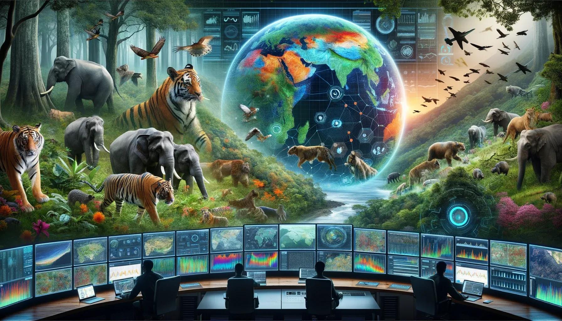
The intersection of geospatial technologies and artificial intelligence (AI) is revolutionizing wildlife conservation, opening a new chapter in biodiversity protection. This article delves into the transformative impact of geospatial AI on wildlife conservation, exploring its applications, benefits, challenges, and future prospects.
Applications of Geospatial AI in Wildlife Conservation
Habitat Analysis and Monitoring : Geospatial AI facilitates the analysis of vast and complex environmental data, enabling conservationists to monitor habitat changes over time. By processing satellite imagery and geographical information system (GIS) data, AI algorithms can identify habitat fragmentation, degradation, and shifts in land use, providing vital insights into the health of wildlife habitats.
Species Identification and Population Estimation : AI models trained on image and sound data can accurately identify species and estimate population sizes. Camera traps equipped with AI can process images in real-time, distinguishing between species and counting individuals, thus offering precise data for population assessments.
Predictive Analytics for Threat Detection : Geospatial AI can predict potential threats to wildlife, such as poaching or illegal logging activities. By analyzing patterns in spatial data, AI algorithms can identify high-risk areas and forecast future threats, enabling proactive measures.
Climate Change Impact Assessment : AI-driven models analyze climate data to assess the impacts of climate change on wildlife. These models can predict shifts in species distribution and identify species most at risk, guiding conservation strategies in response to climate change.
Benefits of Geospatial AI in Wildlife Conservation
Enhanced Precision and Efficiency : AI increases the precision of data analysis and reduces the time and labor involved in traditional conservation methods. Automated image and sound analysis enable rapid and accurate data processing.
Data-Driven Decision Making : Geospatial AI provides robust and comprehensive data, facilitating informed decision-making. This data-driven approach enhances the effectiveness of conservation strategies.
Scalability : AI technologies can be scaled to monitor large areas, providing a broader view of ecological systems and wildlife populations. This scalability is crucial in addressing conservation challenges across extensive and remote regions.
Early Intervention and Prevention : Predictive analytics enable early detection of potential threats, allowing for timely interventions. This proactive approach can prevent irreversible damage to wildlife and habitats.
Challenges and Limitations
Data Quality and Availability : The effectiveness of AI models depends on the quality and availability of data. Inadequate data can lead to inaccurate results, affecting conservation outcomes.
Technological and Resource Constraints : Implementing AI and geospatial technologies requires significant technological infrastructure and expertise, which may not be readily available in all regions, especially in developing countries.
Ethical Considerations : The use of surveillance technologies in wildlife monitoring raises ethical concerns regarding privacy and the potential misuse of data.
Interdisciplinary Integration : Successful implementation of geospatial AI in conservation requires collaboration across disciplines, including ecology, computer science, and geography, which can be challenging to coordinate.
Future Prospects
Advanced AI Models : Continuous advancements in AI will lead to more sophisticated models capable of complex analyses, further enhancing conservation efforts.
Integration with Other Technologies : The integration of geospatial AI with emerging technologies like the Internet of Things (IoT) and drones will provide new avenues for wildlife monitoring and conservation.
Capacity Building and Training : Increasing focus on training and capacity building in geospatial AI will enable more regions to leverage these technologies for conservation.
Collaborative Frameworks : The development of collaborative frameworks involving governments, NGOs, academia, and local communities will be crucial in maximizing the impact of geospatial AI on wildlife conservation.
In conclusion, Geospatial AI marks a new era in wildlife conservation, offering innovative tools for biodiversity protection. Its applications in habitat monitoring, species identification, threat detection, and climate change impact assessment are transforming conservation practices. Despite challenges related to data quality, technological resources, ethical considerations, and interdisciplinary collaboration, the future of geospatial AI in wildlife conservation is promising. Continued advancements in AI, integration with other technologies, capacity building, and collaborative efforts will further enhance its role in safeguarding our planet's wildlife and ecosystems. This technological revolution in conservation not only provides new solutions to longstanding challenges but also inspires hope for a more sustainable and biodiverse future.