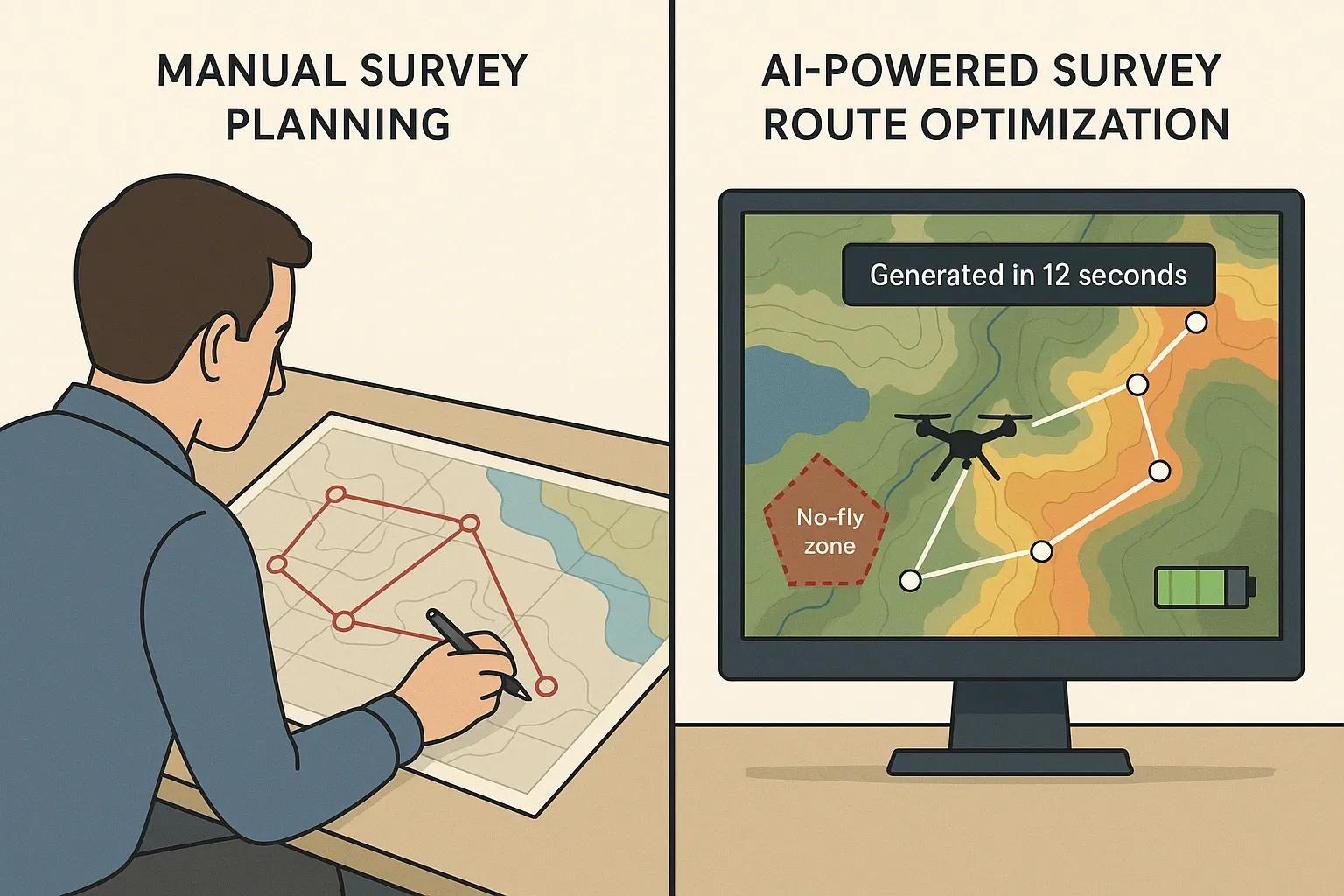
Survey planning is a critical component in geospatial data acquisition, environmental monitoring, infrastructure development, and large-scale land assessments. Traditionally, survey planning, whether for UAV (drone) missions, ground-based equipment, or satellite data capture, involved manual inputs, static route designs, and iterative field corrections. This approach is time-consuming, error-prone, and resource-intensive.
Generative AI, a subset of artificial intelligence that creates new data outputs based on learned patterns, is now being integrated into survey planning workflows. By leveraging historical data, environmental constraints, and real-time inputs, generative AI models can dynamically generate optimized survey routes, drastically reducing human effort, improving accuracy, and minimizing both operational time and cost.
This article explores the application of generative AI in survey planning, with a focus on route optimization, operational benefits, and technical implementation strategies.
Traditional Challenges in Survey Planning
Before delving into AI-driven solutions, it’s essential to understand the typical bottlenecks in survey planning:
Manual Route Design : Surveyors often rely on static maps and predefined waypoints that don’t consider real-time terrain, weather, or no-fly zones.
Inefficient Coverage : Overlapping paths or gaps in data collection can result in re-surveys, increasing operational costs.
Dynamic Variables : Changes in ground conditions, permissions, or weather often lead to delays and rescheduling.
Human Resource Dependency : Skilled planners are required to handle route design, legal boundaries, and risk assessments, which limits scalability.
These limitations point to the need for automation that can dynamically adapt to constraints and optimize route efficiency.
Role of Generative AI in Survey Route Optimization
Generative AI introduces a paradigm shift by enabling the system to generate multiple efficient survey plans based on constraints and desired outcomes. This goes beyond conventional optimization algorithms, such as Dijkstra’s or A* pathfinding, by incorporating learning and adaptability into the planning process.
How Generative AI Works in This Context:
Input Data : Base maps, terrain elevation models, weather forecasts, flight regulations, asset boundaries, and previous survey logs.
Constraint Modeling : No-fly zones, slope angles, battery life of drones, maximum operational hours, camera resolution, and overlap requirements.
Output Generation : Multiple optimized flight or walking/vehicle-based routes ensuring full coverage with minimal time and cost.
Iterative Refinement : Feedback loops from previous missions help improve the next set of generated plans.
This approach allows the AI to propose not just a single plan but a range of alternatives, each ranked based on priorities like speed, safety, energy consumption, or data resolution.
Technical Architecture
A typical generative AI-powered survey planning system includes:
1. Data Ingestion Layer
Sources: GIS datasets, UAV performance specs, weather APIs, digital elevation models (DEMs), and satellite imagery.
Tools: QGIS, GDAL, APIs for real-time feeds.
2. Preprocessing Layer
Raster/vector transformation
Obstacle detection (e.g., tall structures, restricted airspace)
Terrain classification (e.g., flat, hilly, forested)
3. Generative Model Engine
AI models: Variational Autoencoders (VAEs), Generative Adversarial Networks (GANs), or Transformer-based models.
Role: Generate feasible route patterns under given constraints.
4. Optimization Layer
Algorithms: Reinforcement learning (RL) agents or hybrid metaheuristic approaches (e.g., genetic algorithms + RL)
Objective functions: Minimize time, maximize coverage, minimize energy usage, avoid risky zones.
5. Simulation and Validation
Digital twin of survey area to simulate generated routes
Cross-validation with historical performance data
6. Deployment
Export route plans to UAV mission planners (e.g., Mission Planner, UgCS) or mobile surveying apps
Monitor and adjust in real-time based on telemetry
Use Cases
1. Drone-based Land Surveying
Generative AI designs flight paths avoiding no-fly zones and terrain elevation changes, while ensuring optimal image overlap and coverage.
2. Utility Line Inspection
AI generates paths around infrastructure assets like power lines or pipelines, adjusting for terrain and battery limitations.
3. Environmental Surveys
For ecological zones, AI respects sensitive habitats and generates paths minimizing disruption while maximizing sensor data collection.
4. Mining and Construction
Automated route generation for LiDAR or photogrammetry-based surveys, optimized to capture complex topography and avoid equipment obstacles.
Benefits of Generative AI in Survey Planning
1. Time Efficiency
Planning time reduced from hours to minutes
Real-time re-routing in case of weather changes or regulatory constraints
2. Cost Savings
Reduced fuel, battery usage, and field labor
Fewer redundant surveys due to better planning accuracy
3. Higher Data Quality
Better coverage planning leads to cleaner datasets with fewer gaps and overlaps
Optimized overlap improves 3D model reconstruction accuracy
4. Scalability
Ability to plan multiple sites concurrently
Suitable for large-scale, multi-region survey operations
5. Improved Safety
Avoids hazardous zones automatically
Reduces need for manual field exposure in difficult terrain
Considerations and Limitations
While generative AI offers immense value, several factors must be considered:
Data Availability : The model’s performance hinges on the quality and resolution of input datasets.
Regulatory Compliance : Generated plans must integrate evolving airspace regulations and local permits.
Model Training : Requires substantial training data and time to fine-tune models for specific terrains or use cases.
Edge Deployment : Real-time route changes may need edge computing devices integrated into UAVs or survey kits.
Future Directions
Integration with Real-Time Sensor Feedback AI dynamically re-generates routes mid-flight based on obstacle detection or sensor data.
Collaborative Survey Planning AI plans coordinated routes for multiple drones or teams, reducing overlap and ensuring area coverage in record time.
Cloud-based AI Planning Services Survey organizations will increasingly rely on SaaS platforms offering AI-powered planning engines via API or dashboards.
Generative AI + Digital Twins Virtual simulations of entire terrains using digital twins will allow AI to plan based on virtual trial-runs before deployment.
Conclusion
Generative AI is transforming the landscape of survey planning by introducing data-driven automation, real-time adaptability, and unprecedented efficiency. By automatically generating optimal survey routes that consider terrain, regulations, weather, and operational constraints, organizations can significantly reduce costs, increase data reliability, and improve the speed of geospatial data acquisition.
As survey operations scale in complexity across industries like construction, infrastructure, agriculture, and environmental monitoring, the integration of generative AI is not just a technological advantage, it is rapidly becoming a necessity.