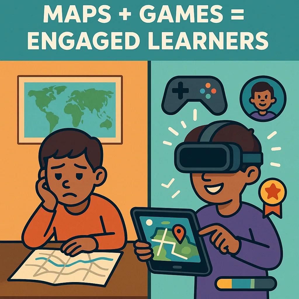
Spatial learning, the ability to understand and remember the spatial relations among objects, is a fundamental cognitive skill. When applied to geospatial technologies, such as GIS (Geographic Information Systems), remote sensing, and spatial data visualization, it becomes a powerful tool for interpreting real-world phenomena. However, these tools are traditionally designed for professionals, leaving a gap in accessibility for younger audiences. Gamified spatial learning platforms aim to bridge this gap by using interactive, game-based elements to engage students and citizens with spatial concepts, geodata, and map-based reasoning in an intuitive and enjoyable way.
This article explores the components, benefits, and challenges of gamified spatial learning platforms and highlights how they can foster geospatial awareness, data literacy, and community engagement among youth.
The Need for Spatial Literacy Among Youth
In an increasingly data-driven and location-aware world, spatial literacy is no longer optional. From understanding climate change impacts to planning urban infrastructure, spatial thinking is essential. However, traditional methods of teaching spatial data, often relying on static maps, lectures, or complex software, can be inaccessible or uninspiring for young learners and youth engagement.
Gamification provides a framework to make these abstract or technical subjects engaging. By integrating game design elements such as points, badges, progress levels, storylines, and simulations, gamified spatial learning platforms can turn passive learning into active exploration.
Core Components of a Gamified Spatial Learning Platform
A successful gamified spatial learning platform typically includes the following components:
1. Interactive Maps and 3D Environments
Instead of flat, static maps, these platforms use dynamic and interactive maps, often built with APIs such as Mapbox, Leaflet, or Cesium. Some platforms use 3D representations of cities or terrains, allowing learners to explore real-world geographies in simulated environments.
2. Storytelling and Missions
Gamification thrives on narrative. Platforms may include missions like “Track the River’s Course,” “Clean the Virtual City,” or “Plan a Disaster Response Route.” These scenarios are often tied to real-world problems and are structured as challenges that require spatial thinking to solve.
3. Data Layers and Spatial Analysis Tools
To ensure educational value, platforms allow users to toggle layers (e.g., population density, vegetation, pollution) and perform basic spatial operations like buffer analysis, overlays, and hotspot detection. These are presented in simplified interfaces suited for younger users.
4. User Progression and Feedback
Just like a game, users earn points or badges for completing tasks. Some platforms include leaderboards, timed challenges, or rewards for collaboration. Real-time feedback helps reinforce correct spatial reasoning.
5. Community and Collaboration Features
Many platforms include peer-to-peer engagement: students can co-create maps, join teams, or compare solutions to shared problems. This not only builds spatial skills but also encourages communication and critical thinking.
Examples of Gamified Spatial Learning Initiatives
1. Esri’s GeoInquiries and ArcGIS for Schools
While not fully gamified, Esri’s educational tools integrate real-world data with classroom activities. ArcGIS StoryMaps allows students to build narratives around maps, while Esri's GeoInquiries provide subject-specific content with interactive questions.
2. Minecraft Education Edition
Minecraft’s “Education Edition” includes modules on sustainable cities, climate change, and geography. Partnering with UN-Habitat, some worlds simulate real urban issues, allowing students to design spatial solutions in a sandbox environment.
3. GeoGuessr
GeoGuessr drops players in random Street View locations and asks them to guess their location on a world map. While deceptively simple, it trains users to observe landscape features, signs, and infrastructure, promoting geographical reasoning.
4. CityEngine VR Simulations
Some universities use game engines like Unity or Unreal integrated with GIS data to build city planning simulations. Students can explore urban growth scenarios, zoning conflicts, or disaster response strategies in a gamified way.
Technical Architecture Overview
Gamified spatial learning platforms are built using a combination of:
Frontend : JavaScript-based frameworks (React, Vue), WebGL, and game engines (Unity, Unreal).
Geospatial Backends : GIS servers (e.g., GeoServer, ArcGIS Server), spatial databases (PostGIS), and APIs (Google Maps, OpenStreetMap).
Gamification Engines : Custom rule engines for scoring, progression, and feedback mechanisms.
User Management and Analytics : Role-based access for students/teachers and analytics dashboards to monitor engagement and learning outcomes.
Integration of AI-driven personalization is an emerging trend, recommending missions or challenges based on a learner’s previous interactions and skill level.
Benefits of Gamified Spatial Learning
1. Increased Engagement and Retention
Games trigger intrinsic motivation. By making learning fun, students are more likely to spend time exploring spatial data and retain knowledge.
2. Skill Development Beyond Geography
These platforms enhance critical thinking, problem-solving, collaboration, and even coding (for platforms allowing user-generated content or scripting).
3. Real-World Awareness
Scenarios based on real data (e.g., pollution maps, population growth, climate change) make students aware of their surroundings and future challenges.
4. Equity in Learning
By making spatial tools accessible and intuitive, gamified platforms lower the barrier for students from non-technical backgrounds or underserved communities to engage with geospatial concepts.
Challenges and Considerations
1. Data Complexity
Simplifying spatial data for younger users without compromising accuracy is a key design challenge.
2. Device and Bandwidth Limitations
3D environments and real-time maps are resource-intensive. Optimizing performance on low-end devices is critical for scalability, especially in developing countries.
3. Curriculum Integration
For widespread adoption, these platforms must align with existing educational standards and curricula, especially in formal school systems.
4. Assessment Mechanisms
Measuring spatial learning outcomes in a gamified environment requires robust yet subtle assessment tools that don’t disrupt the gameplay experience.
5. Privacy and Safety
Youth-oriented platforms must include safeguards around data privacy, in line with local data protection laws such as India’s Digital Personal Data Protection Act (2023).
The Indian Context
In India, initiatives like ISRO’s Bhuvan platform, NCERT’s GIS-based content, and efforts from organizations like Digital India Foundation are paving the way for spatial education. However, the use of gamification remains limited.
There’s a significant opportunity to create vernacular, mobile-friendly spatial learning games that tap into India’s large student population. Partnering with state education boards, municipal planning departments, and EdTech platforms could scale such solutions for broader impact.
Future Directions
AR/VR in Spatial Learning : Augmented reality field mapping and immersive geography labs can enhance experiential learning.
Crowdsourced Youth Data Collection : Games can incentivize young users to collect or validate spatial data (e.g., mapping trees, footpaths, or garbage bins).
Climate Literacy Games : Building missions around sustainable development goals (SDGs) can align spatial learning with global education priorities.
Conclusion
Gamified spatial learning platforms represent a new frontier in education, combining the analytical power of geospatial tools with the motivational appeal of games. They offer a compelling way to build spatial thinking among youth, a skill essential for navigating and shaping the 21st-century world.
By making maps and data fun, intuitive, and interactive, these platforms do more than teach geography, they cultivate future-ready citizens who can read, question, and act upon the spatial narratives shaping our planet.