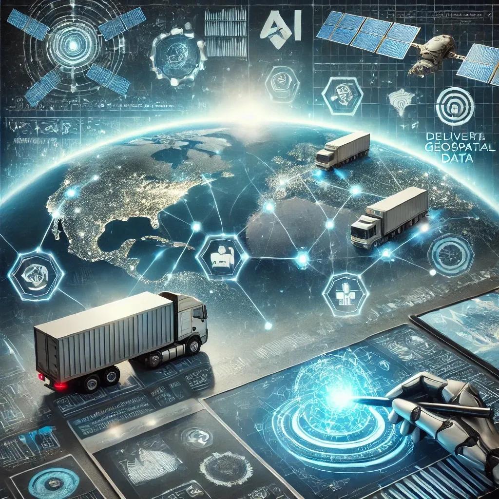
The logistics industry is undergoing a rapid transformation, driven by the need for greater efficiency, cost reduction, and environmental sustainability. As global supply chains become increasingly complex, logistics companies are turning to advanced technologies to stay competitive. Among these technologies, Artificial Intelligence (AI) and geospatial data integration stand out as game-changers, offering unprecedented opportunities to enhance operational efficiency. This article delves into how the integration of AI and geospatial data, exemplified by solutions from us, can revolutionize logistics operations by enabling real-time data tracking, predictive analytics, and more informed decision-making.
The Role of AI in Logistics
Artificial Intelligence has already begun to reshape various industries, and logistics is no exception. AI’s ability to analyze vast amounts of data, identify patterns, and make predictions offers logistics companies the tools they need to optimize their operations. In logistics, AI is particularly valuable for tasks such as route optimization, demand forecasting, inventory management, and predictive maintenance.
One of the primary benefits of AI in logistics is its ability to provide real-time data analysis and decision-making. By processing data from various sources—such as traffic updates, weather conditions, and historical delivery times—AI algorithms can dynamically adjust delivery routes, reducing delays and fuel consumption. This real-time optimization is crucial for maintaining the efficiency and reliability of logistics operations in an increasingly demanding market.
Geospatial Data Integration: Enhancing Precision and Efficiency
Geospatial data integration involves the use of location-based data—collected from sources like GPS, satellites, and sensors—to provide detailed insights into the physical world. In logistics, this data is used to map out delivery routes, monitor the location of assets, and analyze environmental factors that may affect transportation.
Integrating geospatial data with AI enhances the capabilities of both technologies. For instance, while AI can predict the most efficient delivery routes, geospatial data provides the contextual information needed to implement these predictions effectively. This integration enables logistics companies to make more informed decisions, such as selecting routes that avoid traffic congestion, road closures, or hazardous weather conditions.
Our geospatial solutions, which include advanced GIS-based tools, allow logistics companies to leverage this integration fully. By combining real-time location data with AI-driven analytics, our platform enables more accurate route planning, asset tracking, and operational monitoring. This results in a logistics operation that is not only more efficient but also more resilient to disruptions.
Real-Time Data Tracking: A Cornerstone of Modern Logistics
Real-time data tracking is a critical component of modern logistics, providing companies with up-to-the-minute information about the location and status of their assets. This capability is particularly important in the context of global supply chains, where delays in one part of the chain can have ripple effects throughout the entire operation.
AI plays a crucial role in processing and analyzing the vast amounts of data generated by real-time tracking systems. For example, by continuously monitoring the location of delivery vehicles, AI algorithms can identify potential delays and reroute vehicles to avoid them. This not only improves delivery times but also reduces fuel consumption and emissions by minimizing unnecessary travel.
Geospatial data enhances real-time tracking by providing the spatial context needed to interpret this data accurately. For instance, knowing the exact location of a delivery vehicle is more valuable when combined with information about traffic conditions, road closures, and weather patterns. Our integration of AI and geospatial data allows logistics companies to take full advantage of real-time tracking, ensuring that their operations remain efficient and responsive to changing conditions.
Predictive Analytics: Anticipating Challenges and Opportunities
Predictive analytics is another area where AI and geospatial data integration offer significant benefits. By analyzing historical data, AI algorithms can identify trends and patterns that may not be immediately apparent to human analysts. This capability is particularly valuable in logistics, where understanding and anticipating demand fluctuations, potential disruptions, and maintenance needs can lead to more efficient operations.
For example, predictive analytics can help logistics companies forecast demand for specific routes or products, allowing them to allocate resources more effectively. It can also predict when a delivery vehicle is likely to require maintenance, enabling companies to perform preventive maintenance before a breakdown occurs. This reduces downtime and ensures that vehicles remain operational when they are needed most.
Geospatial data enhances predictive analytics by providing the environmental context needed to make accurate predictions. For example, by analyzing the relationship between weather patterns and delivery times, AI algorithms can predict how future weather conditions will impact logistics operations. Our platform integrates this geospatial data with AI-driven predictive analytics, allowing logistics companies to anticipate challenges and seize opportunities more effectively.
Enhanced Decision-Making: The Competitive Edge
The integration of AI and geospatial data not only improves operational efficiency but also enhances decision-making at all levels of a logistics organization. By providing a comprehensive view of logistics operations—encompassing real-time data, predictive analytics, and spatial insights—this integration enables managers to make more informed decisions that align with their strategic goals.
For example, logistics managers can use AI and geospatial data to optimize their fleet management, ensuring that vehicles are used efficiently, and that maintenance is performed at the optimal time. They can also use this data to improve warehouse management, optimizing the placement of goods to reduce handling times and improve inventory turnover.
Moreover, the ability to analyze and visualize data in real time allows logistics companies to respond more quickly to unexpected challenges, such as delays, disruptions, or changes in customer demand. This agility is essential in today’s fast-paced logistics environment, where companies must be able to adapt to changing conditions in order to remain competitive.
Conclusion: A Future of Superior Efficiency
The future of logistics lies in the integration of AI and geospatial data. By combining the predictive power of AI with the contextual insights provided by geospatial data, logistics companies can achieve a level of operational efficiency that was previously unattainable. Our solutions exemplify this integration, offering logistics companies the tools they need to optimize their operations, reduce costs, and enhance their decision-making capabilities.
As the logistics industry continues to evolve, the adoption of AI and geospatial data integration will become increasingly important. Companies that embrace these technologies will be better positioned to navigate the challenges of a complex global supply chain, ensuring that they remain competitive in an ever-changing market. The combination of real-time data tracking, predictive analytics, and enhanced decision-making will not only improve operational efficiency but also drive the industry towards a more sustainable and resilient future.
By leveraging the power of AI and geospatial data, logistics companies can look forward to a future where superior operational efficiency is not just a goal but a reality.