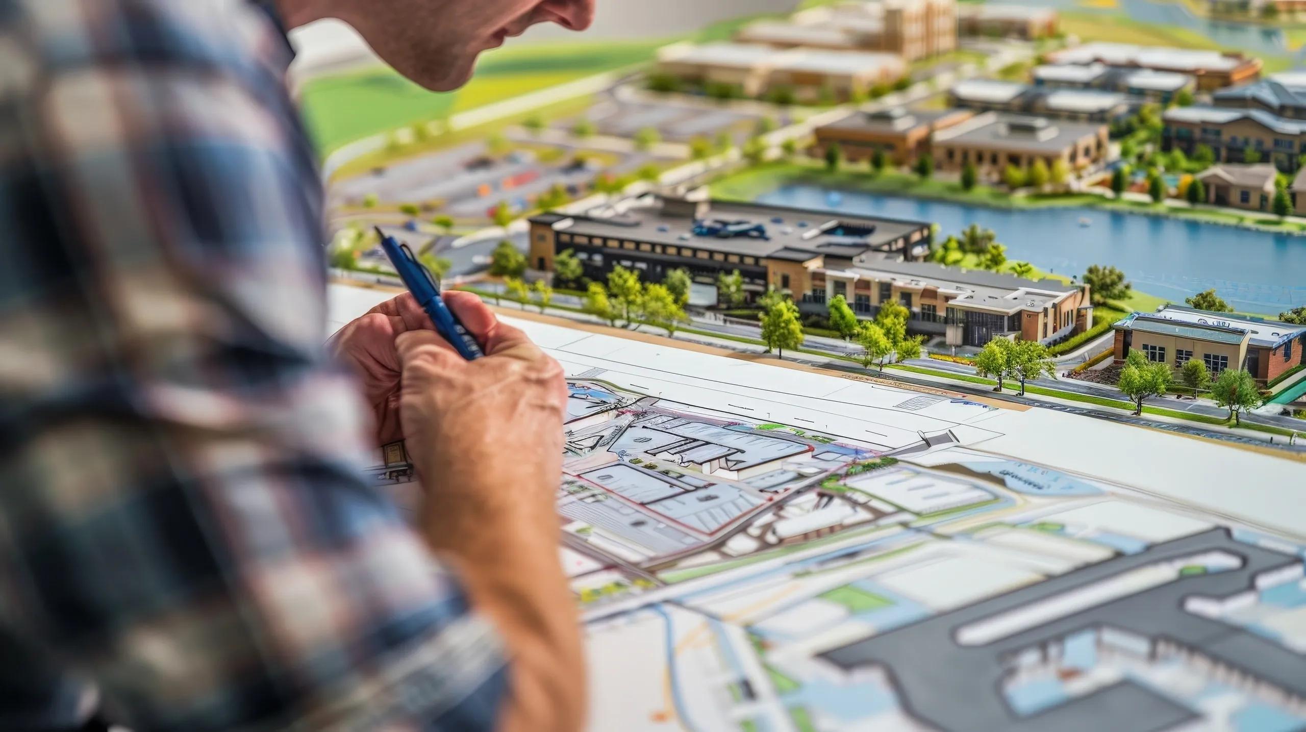
The Fourth Industrial Revolution (4IR) is redefining industries with emerging technologies like Artificial Intelligence (AI), Internet of Things (IoT), and Extended Reality (XR). In urban planning, the convergence of these technologies with geospatial data, Building Information Modeling (BIM), and digital twins is revolutionizing how cities are designed, managed, and optimized. This article explores the transformative journey from traditional urban planning to smart cities and the adoption of digital twins, focusing on their impact on city management, public services, and sustainable infrastructure design.
The Foundation of Smart Cities: Geospatial Data
Smart cities rely heavily on geospatial data, the cornerstone for effective urban planning and management. Geospatial technology provides the spatial intelligence needed to map, monitor, and analyze urban areas. Through Geographic Information Systems (GIS), planners can visualize spatial relationships, evaluate land use, and simulate potential scenarios.
For example, geospatial data helps in determining optimal locations for public infrastructure like schools, hospitals, and transportation hubs. It also plays a crucial role in disaster management by identifying vulnerable zones and devising evacuation plans. The ability to layer demographic, environmental, and economic data ensures comprehensive urban planning, addressing both current needs and future challenges.
BIM: Transforming Construction and Urban Design
Building Information Modeling (BIM) has become an indispensable tool in the AEC (Architecture, Engineering, and Construction) industry. BIM creates digital representations of physical and functional characteristics of buildings and infrastructure, enabling better collaboration among stakeholders.
In urban planning, BIM integrates seamlessly with geospatial data to enhance city-scale projects. For instance, a BIM model can be layered with GIS data to understand how a new development impacts traffic flow, energy consumption, or local ecosystems. This holistic approach reduces risks, optimizes resource allocation, and ensures compliance with sustainability goals.
The application of BIM extends beyond construction. It’s now being used for lifecycle management of infrastructure, ensuring that maintenance, upgrades, and end-of-life considerations are planned from the outset. This aligns with the growing emphasis on sustainable urban development.
The Rise of Digital Twins in Urban Planning
Digital twins represent the next evolution in urban planning. These are virtual replicas of physical entities, continuously updated with real-time data from IoT devices, sensors, and other sources. By creating a live digital model of a city, planners and administrators gain unprecedented insights into urban dynamics.
Key Applications of Digital Twins in Urban Planning
City Management: Digital twins enable real-time monitoring of city operations, from traffic flow and energy consumption to water distribution and waste management. For example, cities like Singapore and Dubai have adopted digital twin platforms to optimize resource allocation and improve service delivery.
Public Services: Digital twins streamline public service delivery by providing accurate data for decision-making. For instance, during the COVID-19 pandemic, digital twin models were used to simulate disease spread and plan vaccination drives, ensuring better public health outcomes.
Infrastructure Design and Sustainability: By simulating various scenarios, digital twins help in designing resilient infrastructure. They allow planners to test the impact of extreme weather events or population growth on urban systems, ensuring sustainability and adaptability.
Case Study: India’s Digital India Land Records Modernization Programme
India’s Digital India Land Records Modernization Programme exemplifies the application of digital twin technology on a national scale. By integrating geospatial data, BIM, and IoT, this initiative has modernized land records, enabling transparency, efficiency, and accessibility. Urban planners and administrators use these digital tools to monitor land use, simulate developmental policies, and engage citizens in decision-making processes. This program demonstrates how digital twins can transform governance and infrastructure management, bridging the gap between data-driven insights and real-world implementation.
The Role of IoT in Enabling Digital Twins
IoT forms the backbone of digital twins by providing the real-time data needed for dynamic updates. Smart sensors embedded in urban infrastructure collect data on parameters like air quality, traffic density, and energy usage. This data is then fed into digital twin platforms, enabling continuous monitoring and predictive analytics.
For instance, in smart traffic management systems, IoT sensors detect congestion levels and communicate with digital twins to suggest alternate routes or optimize signal timings. Similarly, IoT-enabled water meters help in tracking consumption patterns, identifying leaks, and promoting water conservation.
Sustainability Through Digital Twins
Sustainability is a critical aspect of modern urban planning, and digital twins are instrumental in achieving it. By simulating the environmental impact of urban developments, digital twins help planners make informed decisions that align with sustainability goals.
Energy Efficiency
Digital twins optimize energy usage by identifying inefficiencies and suggesting improvements. For example, smart grids connected to digital twins can monitor energy consumption patterns, predict demand surges, and integrate renewable energy sources seamlessly.
Climate Resilience
With climate change posing significant challenges, digital twins enable cities to model and prepare for extreme weather events. Planners can simulate flooding scenarios, design resilient drainage systems, and implement adaptive measures to minimize damage.
Challenges and Solutions
Despite their potential, the adoption of digital twins in urban planning faces several challenges:
Data Silos: Integrating data from various sources is complex, as different systems may use incompatible formats. Solution: Adopting open data standards and interoperable platforms ensures seamless integration and data sharing.
High Costs: Developing and maintaining digital twins require substantial investment in technology and skilled personnel. Solution: Public-private partnerships and phased implementation can help mitigate costs while ensuring scalability.
Privacy Concerns: The real-time data collected for digital twins may include sensitive information, raising privacy issues. Solution: Robust data governance frameworks and anonymization techniques are essential to protect user privacy.
Future Trends in Urban Planning
As the 4IR continues to unfold, urban planning will witness further advancements driven by digital twins and related technologies.
AI Integration: AI algorithms will enhance predictive analytics, enabling more accurate forecasting of urban trends and infrastructure needs.
XR for Citizen Engagement: Extended Reality (XR) will revolutionize public participation by allowing citizens to visualize and interact with urban plans in immersive environments.
Edge Computing: Decentralized data processing through edge computing will reduce latency, enabling faster decision-making in critical urban systems.
Circular Economy Models: Digital twins will support the transition to circular economy models by tracking resource flows and optimizing waste management.
In conclusion, the journey from smart cities to digital twins marks a significant leap in urban planning, driven by the 4IR’s transformative technologies. Geospatial data, BIM, and digital twins collectively enhance city management, streamline public services, and enable sustainable infrastructure design. As cities continue to grow and evolve, these technologies will play a pivotal role in building resilient, efficient, and inclusive urban environments.