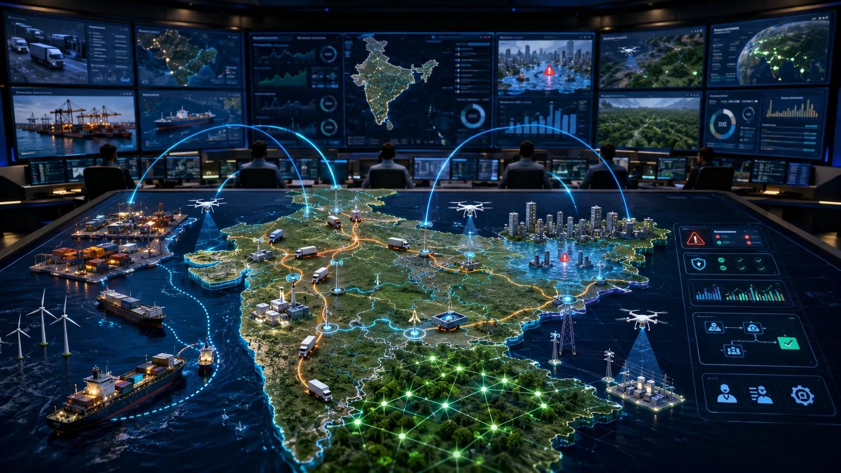
For many years, geospatial technology in India has been understood mainly through maps.
Maps helped us see land, cities, roads, utilities, farms, assets, and risks. They gave decision-makers a shared view of physical reality.
That was important.
But the next opportunity is bigger.
India does not only need better maps. It needs operational intelligence.
The real opportunity is not collecting more spatial data. It is converting location, time, assets, risk, and operations into decisions that organizations can act on daily.
Why Maps Alone Are No Longer Enough
A map tells us where something is.
But most organizations now need to know what is changing, what is at risk, what needs attention, and what action should be taken next.
A static map cannot manage congestion.
A static map cannot predict asset failure.
A static map cannot prioritize a flood response.
A static map cannot verify carbon claims.
A static map cannot coordinate logistics in real time.
This is where geospatial technology must move from visibility to action.
The value is no longer only in the map itself.
The value is in the model behind the map.
Signal 1: Logistics Is Becoming a Geospatial AI Problem
Logistics companies are no longer depending only on generic basemaps.
They are building AI-native operational maps using delivery patterns, fleet movement, road intelligence, address quality, and ground-level business data.
That matters because logistics is not a static mapping problem. It is a live operations problem.
A warehouse manager does not only need to know where a facility is located.
They need to know how goods move inside it, where delays occur, which loading bay is congested, which vehicle is late, and what action should be taken next.
A fleet operator does not only need a route map.
They need risk-aware routing, estimated delays, fuel and charging intelligence, asset visibility, and exception alerts.
A supply chain leader does not only need network visibility.
They need daily decisions on inventory, dispatch, storage, temperature control, compliance, and customer commitments.
This is where the future of geospatial AI becomes practical.
Signal 2: Digital Twins Are Moving Into Real Operations
India’s ports are another strong example.
Modern port operations involve vessels, cargo, yards, trucks, cranes, security, emissions, traffic, maintenance, and regulatory compliance.
A static map cannot coordinate these moving parts.
This is why digital twins for ports are becoming important.
When IoT, GPS, LiDAR, drones, CCTV, AI, and analytics come together, the port becomes more than a visual asset model. It becomes an operational system.
It can support congestion monitoring.
It can support predictive maintenance.
It can support emissions tracking.
It can support asset utilization.
It can support faster incident response.
That is the difference between a digital model and an operational twin.
The same shift is visible in Indian cities.
Urban flooding, traffic congestion, utility stress, construction activity, encroachment, drainage capacity, and emergency response are all spatial problems.
But they are not solved by maps alone.
A city does not need another dashboard showing where waterlogging happened yesterday.
It needs a system that can combine rainfall, terrain, drainage networks, road conditions, mobility patterns, vulnerable zones, and response teams into actionable decisions.
Where is the risk rising?
Which road should be closed first?
Which drain requires intervention?
Which ward team should be alerted?
Which hospital, school, or transit corridor is exposed?
This is operational intelligence.
Signal 3: UAVs Must Move Beyond Surveying
The same logic applies to UAVs.
India’s drone market is growing, but the future of civil UAV services will not be won by selling “surveying” alone.
Surveying is an input.
The higher-value opportunity is inspection evidence, compliance records, change detection, risk scoring, asset monitoring, and decision support.
A drone image of a bridge is useful.
But a time-series model showing cracks, vegetation growth, encroachment, corrosion, drainage blockage, or maintenance priority is far more useful.
A drone survey of a mining site is useful.
But a volumetric model linked to production, safety, environmental compliance, and stockpile reconciliation is more valuable.
A drone capture of a construction site is useful.
But progress intelligence linked to BIM, schedule, cost, quality, and contractor performance is what owners actually need.
That is the transition from data capture to operational intelligence.
Signal 4: Carbon MRV Is Becoming a Spatial Intelligence Opportunity
Carbon MRV is another area where this shift is becoming clear.
Agriculture, forestry, land-use change, infrastructure development, and climate reporting all depend on spatial evidence.
Satellite data, UAVs, field validation, AI models, and dashboards can help create a more practical MRV stack.
But again, the value is not simply in seeing land cover.
The value is in answering operational questions.
Has land use changed?
Is vegetation health improving?
Are soil and biomass indicators moving in the right direction?
Is the project area compliant?
Can field evidence support reporting?
Can risks be flagged before verification fails?
For Indian organizations, this is a major opportunity.
Geospatial technology can become a decision layer across logistics, ports, cities, infrastructure, agriculture, utilities, insurance, climate, and compliance.
What Operational Intelligence Really Means
Operational intelligence connects location with timing.
It connects assets with risk.
It connects data with accountability.
It connects prediction with action.
A spatial intelligence layer does four things.
First, it connects physical assets to digital context.
Second, it brings together multiple data sources such as satellite imagery, UAV data, IoT feeds, BIM, enterprise systems, field observations, and operational records.
Third, it converts these inputs into models, alerts, scores, forecasts, and workflows.
Fourth, it helps people act through the systems they already use.
This last point is important.
The future of geospatial intelligence is not just better visualization.
It is better coordination.
A port operator needs the right alert.
A city official needs the right priority list.
A logistics manager needs the right route decision.
A maintenance team needs the right asset intervention.
A carbon project developer needs the right evidence trail.
India’s Next Geospatial Opportunity
India’s geospatial opportunity is not only about building more maps of the country.
It is about building models that help the country operate better.
Maps show us where things are.
Models help us understand what is changing.
Operational intelligence helps us decide what to do next.
That is where the next wave of value will be created.
And that is where geospatial companies, digital twin platforms, UAV service providers, AI teams, and infrastructure operators need to align.
Closing Thought
We should stop presenting geospatial platforms only as mapping systems.
We should present them as spatial intelligence layers.
The winners will not be those who visualize India best.
The winners will be those who help India act faster, safer, and smarter on spatial intelligence.