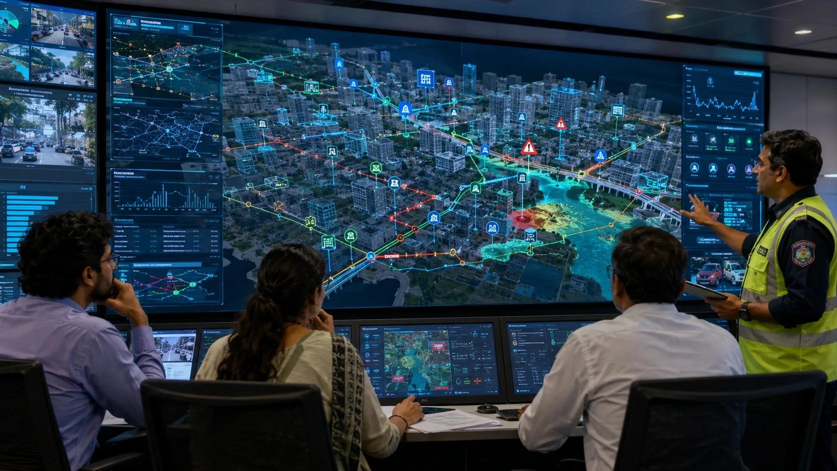
The 3D Model Is Only the Starting Point
For many years, digital twins have been introduced to organizations as impressive 3D models.
A city in 3D.
An airport in 3D.
A factory in 3D.
A highway corridor in 3D.
A port, campus, mine, utility network or building portfolio in 3D.
These models are useful. They help teams see assets better. They improve communication between planners, engineers, operators and decision-makers. They make complex environments easier to understand.
But a realistic 3D model alone is not a digital twin.
It is a digital representation.
The real value begins when that representation becomes connected to live data, operational workflows, risk models, field actions and decision-making.
That is where the industry is now heading.
Why This Shift Matters Now
Recent developments show this shift clearly. Varanasi’s emergency-response digital twin is an important signal for Indian cities. The idea is not only to create a visual model of the city, but to support preparedness for floods, fires and other emergency situations.
This is a meaningful direction.
Because cities do not need digital twins only to look modern. They need them to respond better.
A city digital twin should help answer practical questions:
Where will water accumulate first during heavy rainfall?
Which roads may become inaccessible?
Which hospitals, schools or critical buildings are exposed?
Which response routes are still open?
Which assets need priority inspection?
Which agencies need to coordinate before the situation escalates?
These are not visualization questions.
These are operational questions.
And this is where geospatial technology becomes central.
Geospatial Context Turns a Model into an Operating Layer
A true infrastructure digital twin needs location intelligence at its foundation.
Every asset exists somewhere.
Every risk has a location.
Every response route depends on geography.
Every sensor reading becomes more useful when it is understood in spatial context.
Without geospatial context, a digital twin becomes a dashboard of disconnected signals.
With geospatial context, it becomes an operating layer.
This distinction is important for smart cities, utilities, airports, highways, ports, industrial campuses, logistics hubs and disaster-management agencies.
Capability One: Spatial Context
The first capability of an operational twin is spatial context.
This includes base maps, terrain, land use, building footprints, road networks, drainage systems, utilities, asset locations, administrative boundaries, risk zones and surrounding physical conditions.
For infrastructure owners, this spatial layer is not just a background map. It is the organizing framework.
It tells us where the asset is, what surrounds it, what it connects to, and what could affect it.
A water pipeline cannot be understood only as a line in a database. It must be understood in relation to roads, soil, elevation, demand zones, valves, pumps, leakage history and nearby development.
A warehouse cannot be understood only through inventory numbers. It must be understood through space utilization, movement patterns, loading bays, temperature zones, equipment locations and dispatch workflows.
A city cannot be understood only through departments. It must be understood as a connected spatial system.
Capability Two: Live Data Integration
The second capability is live data integration.
Infrastructure is no longer monitored only through periodic surveys.
Data now comes from IoT sensors, CCTV feeds, drones, satellites, mobile devices, SCADA systems, ERP platforms, weather feeds, field inspection apps and maintenance systems.
But collecting data is not the same as using data.
Many organizations already have enough data. Their challenge is that the data is spread across different systems, formats, teams and vendors.
An operational twin must bring these signals together.
For example, in an emergency-response twin, rainfall data, drainage condition, traffic movement, road closures, flood-prone zones, emergency shelters and response vehicles should not sit in separate systems.
They must be connected into one decision environment.
In an airport twin, passenger flow, baggage movement, energy use, security systems, airside operations and maintenance alerts must be viewed together.
In an industrial campus, machine health, utilities, safety zones, inventory, workforce movement and maintenance tasks must be connected.
Capability Three: Simulation and Scenario Planning
The third capability is simulation and scenario planning.
This is where digital twins move from “what is happening?” to “what could happen next?”
For infrastructure, this is critical.
Before a flood, the twin should help simulate water accumulation and response routes.
Before a power failure, it should show cascading impacts on operations.
Before a road closure, it should show traffic diversion and access constraints.
Before a port disruption, it should show vessel, yard and logistics impact.
Before a maintenance shutdown, it should help estimate operational risk.
Scenario planning is not just a technical feature.
It is a management tool.
It allows decision-makers to test options before taking action in the real world.
This matters because infrastructure decisions are expensive. They affect safety, service continuity, public trust and business performance.
Capability Four: Decision Intelligence
The fourth capability is decision intelligence.
This is the layer many digital twin projects miss.
A dashboard may show that something is wrong. But an operational twin should go further.
It should help answer:
What is the severity?
What is the likely impact?
Who needs to act?
What is the priority?
What is the recommended response?
What evidence supports that decision?
Has the action been completed?
What changed after the action?
This is where AI can add value, but only if the underlying data is reliable, contextual and governed.
AI without spatial context can generate noise.
AI with geospatial, asset and operational context can support better decisions.
For example, an AI model detecting road damage becomes more useful when it also understands road hierarchy, traffic volume, nearby schools, drainage condition, accident history and maintenance backlog.
A flood alert becomes more useful when it is linked to population exposure, critical assets, response routes and field teams.
A warehouse alert becomes more useful when it connects inventory, temperature, vehicle movement and shipment priority.
Decision intelligence is not about replacing human judgment. It is about giving decision-makers better evidence at the right time.
Capability Five: Governance, Resilience and Security
The fifth capability is governance, resilience and security.
As infrastructure twins become operational, they also become sensitive.
They may contain asset locations, security layouts, utility networks, emergency plans, operational data, citizen-facing services and long-lived records.
This means governance cannot be added later.
Data ownership, access control, audit trails, data residency, cybersecurity, interoperability and backup operations must be designed from the beginning.
For government and critical infrastructure customers, data sovereignty is becoming more important.
For long-life assets, cybersecurity readiness is becoming more important.
For field operations, offline resilience is becoming more important.
A digital twin that works only in a perfect connectivity environment is not enough for real infrastructure operations.
It must support field realities.
Connectivity may fail. Sensors may stop working. Data may arrive late. Different agencies may use different systems. Teams may need to operate during emergencies.
A serious digital twin architecture must plan for these conditions.
Start with the Decision, Not the Technology
This brings us to the real business question.
Should organizations invest in digital twins?
Yes, but not as a technology showcase.
They should invest when there is a clear operational use case.
A city may start with flood response.
An airport may start with asset maintenance.
A port may start with vessel and yard visibility.
A highway agency may start with road condition intelligence.
A utility may start with leakage, outage or asset-risk monitoring.
An industrial campus may start with safety, energy or production flow.
The starting point should not be, “Let us build a digital twin.”
The starting point should be, “Which decision do we want to improve?”
That decision-back approach changes everything.
It defines the data required.
It defines the integration needed.
It defines the users.
It defines the dashboard.
It defines the simulation.
It defines the ROI.
The Role of Geospatial Technology
A digital twin becomes valuable only when it helps someone detect earlier, decide faster, coordinate better or operate more safely.
This is the direction geospatial technology is enabling.
GIS gives the spatial foundation.
BIM gives asset and engineering detail.
IoT gives live operational signals.
Satellite and drone data give wider monitoring capability.
AI helps identify patterns and recommend actions.
Dashboards and workflows bring the insight into daily operations.
When these layers work together, the digital twin stops being a model.
It becomes an operational intelligence system.
For India and other fast-growing infrastructure markets, this shift is important. Our cities, utilities, transport systems, industrial zones and climate-sensitive regions need better visibility, but they also need better coordination and faster response.
Closing Thought
The next generation of infrastructure digital twins should not be judged by how impressive they look on screen.
They should be judged by the decisions they improve.
Can they reduce response time?
Can they prevent avoidable disruption?
Can they improve asset life?
Can they help agencies coordinate?
Can they support climate resilience?
Can they make infrastructure safer, more efficient and more accountable?
That is the real test.
The future of digital twins is not only 3D.
The future is operational.
And geospatial intelligence will be one of the core layers that makes that future work.