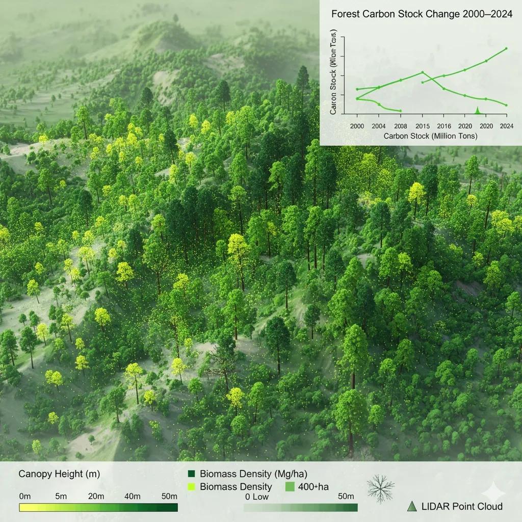
Forests: The Living Carbon Ledger
Every forest is both an ecosystem and a data system.
Each tree records, stores, and exchanges carbon, collectively forming the planet’s biological twin for atmospheric CO₂.
When we map forests through geospatial data, we’re not just measuring canopy cover, we’re quantifying carbon intelligence: how much carbon is stored, where it’s changing, and why.
This is where Above-Ground Biomass (AGB) estimation, LiDAR scanning , and multi-temporal satellite analysis converge, to build Forest Carbon Digital Twins capable of simulating and monitoring the carbon economy of landscapes.
What is Above-Ground Biomass (AGB)?
AGB represents the dry mass of living vegetation, trees, branches, and shrubs, per unit area (tons/ha).
"Carbon Stock (tons/ha)" = "AGB" × 0.47
It’s the primary indicator of carbon stock because roughly 47–50% of AGB is carbon.
Estimating AGB accurately is crucial for:
Carbon accounting (REDD+, NDCs)
Forest productivity monitoring
Climate change mitigation planning
Mapping the Carbon from Above
Modern AGB mapping combines satellite spectral data, radar backscatter, and LiDAR-derived canopy height into spatial models that estimate biomass across large landscapes.
Data Source - Sensor - Resolution - Application
Optical - Sentinel-2, Landsat-9 - 10–30 m - Vegetation indices (NDVI, EVI)
Radar (SAR) - Sentinel-1, ALOS PALSAR - 10–25 m - Canopy density & structure
LiDAR - GEDI (spaceborne) / UAV LiDAR - 25 m (GEDI) / <1 m (UAV) - Tree height & canopy profile
Thermal/Passive Microwave - SMOS, SMAP - 1–10 km - Soil moisture correction
These layers feed into biomass models such as Random Forest regression or physical models like BIOMASAR , generating AGB maps with uncertainties quantified per pixel.
LiDAR: The X-ray Vision of Forests
LiDAR (Light Detection and Ranging) uses laser pulses to capture 3D forest structure, height, density, and canopy complexity , parameters directly linked to biomass.
GEDI (Global Ecosystem Dynamics Investigation) aboard the ISS has revolutionized carbon mapping:
Captures canopy height and vertical structure at 25 m footprint .
Provides LiDAR waveforms representing the energy return profile through canopy layers.
Combined with Sentinel-1 and -2 data, it can model AGB at sub-100 m precision.
India’s forest biomes, from the Western Ghats’ dense canopy to central India’s deciduous forests , are now being mapped using GEDI + ICESat-2 LiDAR data for carbon baseline generation.
Case Example: Forest Carbon Mapping in Central India
In 2023, researchers combined Sentinel-1 SAR, GEDI LiDAR, and forest inventory data across Madhya Pradesh to estimate AGB across 10 forest divisions:
Mean AGB: 187 tons/ha (dense forests) to 94 tons/ha (open forests).
Carbon stock loss: 1.8% per year from selective logging and encroachment.
Validation with field plots showed R² = 0.86 for AGB estimation.
The dataset now supports regional REDD+ reporting and has been adopted by the State Forest Department’s carbon monitoring unit for climate finance projects.
Detecting Biomass Change: The Temporal Dimension
Carbon accounting isn’t static, forests constantly gain and lose biomass.
Time-series AGB models derived from Sentinel and Landsat archives now track:
Deforestation: Canopy loss in clear-cut zones.
Degradation: Gradual decline in biomass due to fuelwood extraction or grazing.
Regrowth: Post-fire or reforestation recovery.
Machine learning models trained on historical imagery (2000–2024) can quantify annual carbon flux , measured in tons of carbon gained or lost per hectare per year.
For India, the average net biomass change (2000–2020) is estimated at +0.35 tons C/ha/year , with major gains in northeastern and southern regions.
From Biomass Maps to Carbon Twins
A Forest Carbon Digital Twin integrates:
LiDAR-derived structure (height, volume)
SAR-derived canopy density
Optical-derived productivity (NDVI, LAI)
Field-based carbon conversion factors
This twin can:
Simulate carbon sequestration under restoration scenarios.
Quantify loss from deforestation events in near real time.
Provide MRV (Monitoring, Reporting, Verification) inputs for carbon credits.
When integrated with IoT forest sensors (for soil moisture, CO₂ flux, or fire detection), these twins evolve into adaptive carbon observatories.
GeoAI: Learning Carbon from Space
AI-driven models now automate biomass estimation at unprecedented scales:
Random Forest / XGBoost: Fuse spectral and structural features for pixel-level AGB prediction.
Deep CNNs: Learn spatial texture from multispectral and LiDAR composites.
Transfer Learning: Apply trained models across similar forest biomes (e.g., Western Ghats → Nilgiris).
Uncertainty Quantification: Use ensemble variance to estimate model confidence.
GeoAI is making carbon accounting replicable, explainable, and scalable.
India’s Carbon Mapping Framework
India is rapidly building capacity for spatial carbon estimation:
Forest Survey of India (FSI): AGB and carbon density maps (30 m resolution).
NRSC–ISRO: SAR-based biomass retrieval using Sentinel-1 and ALOS PALSAR.
IIRS Dehradun: UAV LiDAR + hyperspectral mapping pilots in Himalayan forests.
Carbon Monitoring Hub (under MoEFCC): Standardizing remote-sensing-based carbon MRV pipelines for REDD+.
These efforts together aim to support India’s net-zero 2070 target with spatial carbon baselines and restoration planning.
Outlook: Carbon Twins for Restoration Economics
Forests as carbon twins offer a scientific foundation for climate finance and biodiversity recovery.
Imagine:
Digital baselines that calculate CO₂ offset potential in hectares.
Real-time monitoring of carbon leakage from project areas.
Simulation of growth trajectories under different restoration models.
Such systems can anchor India’s carbon credit verification and nature-based solutions (NbS) marketplace, where data integrity equals carbon credibility.
Conclusion
Forests are more than green cover, they’re living carbon ledgers.
By merging LiDAR, radar, and optical datasets, we can now model how much carbon forests hold, how fast they’re changing, and how best to restore them.
This is not just measurement, it’s mirror work for the planet , reflecting both what we’ve lost and what we can still recover.