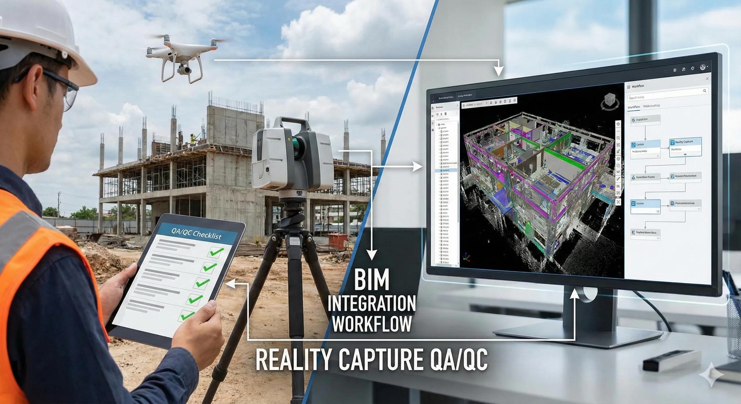
Reality capture failures rarely come from software limitations. They almost always originate in the field, during planning, setup, or execution. By the time scan or drone data reaches the BIM team, it is often too late to fix fundamental issues like missing control, inconsistent coverage, or unusable resolution.
This is why Field Capture QA/QC is not optional. It is the control gate that determines whether captured data becomes BIM-ready intelligence or expensive digital noise.
This article presents a practical QA/QC checklist to ensure reality capture data can be confidently integrated with BIM workflows.
1. Why QA/QC Must Start Before Data Capture
Most teams treat QA/QC as a post-processing task. This is a mistake.
Once capture is complete:
Missing areas cannot be reconstructed
Poor overlap cannot be fixed
Incorrect control cannot be inferred
QA/QC must be embedded at:
Planning stage
On-site execution
Immediate post-capture review
Field validation is cheaper than office correction.
2. Pre-Capture QA: Planning Checks
Before going to site, confirm:
Purpose defined What decision will this data support (progress, deviation, QA, claims)?
Required accuracy known Tolerance-based vs visual-only use
Capture method selected UAV, terrestrial LiDAR, mobile LiDAR, based on purpose, not habit
Coordinate system finalized CRS, vertical datum, transformations documented
Control strategy approved GCPs, targets, checkpoints planned and surveyed
Without these, capture is uncontrolled.
3. On-Site QA: During Capture
Field teams should validate while capturing , not after leaving site.
Coverage Checks
No gaps in critical zones
Adequate overlap (images or scans)
Occlusion risks addressed
Control Verification
Targets clearly visible
GCPs undisturbed
Checkpoints independent of control
Environmental Checks
Lighting consistency (for photogrammetry)
Minimal movement (vehicles, cranes, people)
Stable weather conditions
If conditions are poor, stop and reschedule .
4. Immediate Post-Capture QA (Same Day)
Before demobilization:
Review sample images or scans
Confirm overlap visually
Check target visibility
Validate basic registration feasibility
This step alone prevents most rework.
5. Processing QA: Registration & Alignment
Once data is processed:
✔ Registration error within tolerance
✔ No visible drift across zones
✔ Control points match surveyed values
✔ Checkpoints confirm accuracy
✔ Vertical alignment validated
If any of these fail, BIM integration must pause.
6. Classification & Filtering QA
Before importing into BIM:
Relevant elements classified
Noise removed
Temporary objects handled intentionally
File sizes optimized
Zones segmented logically
Unfiltered point clouds slow down BIM workflows.
7. BIM Integration QA
Inside BIM or coordination platforms:
Coordinate alignment verified
Units and scale confirmed
Point cloud orientation correct
BIM and reality overlap validated
Measurements repeatable
If measurements vary between users, trust is lost.
8. Documentation & Metadata QA
Every dataset must include:
Capture date and time
Method and equipment
Accuracy statement
CRS and vertical datum
Intended use limitations
Undocumented data is dangerous in coordination and claims.
9. Common QA/QC Failures to Avoid
“Looks aligned” acceptance
No checkpoint validation
Ignoring vertical datum
Over-capturing without purpose
Handing raw data to BIM teams
QA/QC failures compound downstream.
10. Cost-Aware QA/QC (Indian Context)
For cost-sensitive projects:
QA/QC reduces rework and recollection
Selective validation saves time
Early checks avoid expensive remobilization
A simple rule:
One hour of QA in the field saves days in the office.
Conclusion
Reality capture only becomes valuable when it is trusted .
Field capture QA/QC:
Protects BIM workflows
Improves adoption
Reduces disputes
Increases ROI
Without QA/QC, reality capture is just data collection.
With QA/QC, it becomes decision-grade infrastructure .
In BIM-to-field execution, quality is not processed, it is captured .