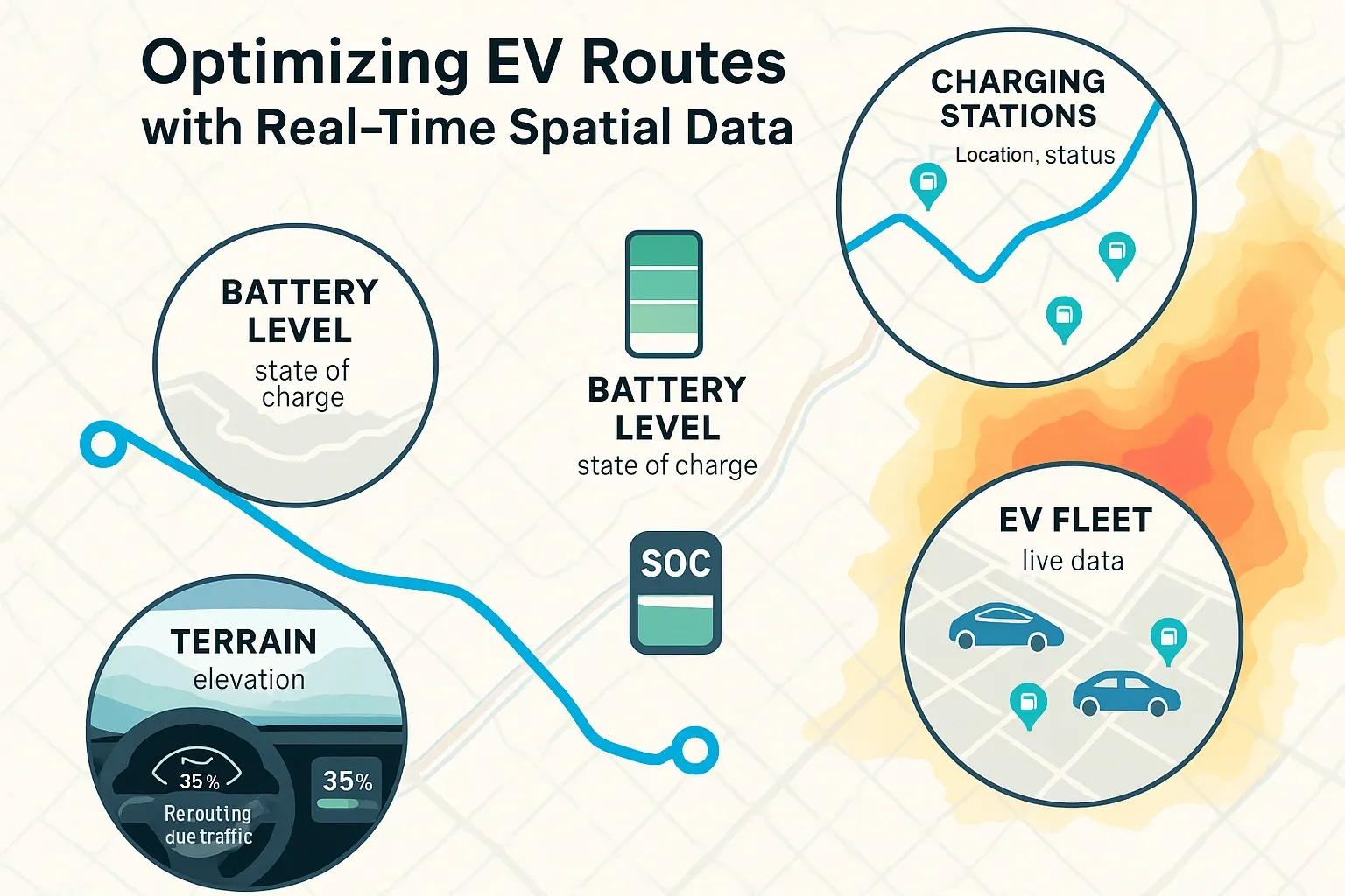
As electric vehicle (EV) adoption rises, route optimization has become critical to address the unique operational challenges EVs face, especially battery range anxiety, lack of universal charging infrastructure, and varied terrain impacting energy consumption. Traditional route optimization tools fall short because they are designed around fuel-based vehicles with near-infinite refueling options. EVs require a different approach, one that dynamically accounts for real-time spatial data.
By integrating geospatial intelligence, sensor networks, and real-time data streams, EV route optimization systems can make informed decisions that balance energy efficiency, battery state of charge (SoC), terrain conditions, and charging infrastructure availability.
Why Traditional Navigation Fails for EVs
Conventional routing systems prioritize shortest distance or fastest time. These models do not consider:
Battery levels and degradation curves
Elevation changes that impact power draw
Weather conditions affecting battery performance
Real-time charger availability or functionality
These factors make conventional routing algorithms insufficient for EVs, especially in regions with limited charging networks or variable terrain.
Key Parameters in EV Route Optimization
To enable efficient and safe routing for electric vehicles, optimization models must consider multiple dynamic and static variables.
1. Battery Level and Consumption Forecast
Real-time monitoring of the EV’s current battery state and estimated energy consumption is essential. Battery consumption is influenced by:
Speed and acceleration
HVAC system usage
Driving behavior
Payload weight
Regenerative braking efficiency
Advanced route planners use energy consumption models calibrated with historical telemetry and real-time IoT sensor data from the vehicle’s onboard diagnostics.
2. Charging Station Data
A spatial database of charging stations is critical, including:
Exact location (geocoordinates)
Charging type (Level 2, DC fast, etc.)
Charging speed (kW)
Real-time availability
Payment compatibility
Queue length or reservation options
Route planners must integrate APIs from charging station operators (e.g., PlugShare, ChargePoint) to retrieve and update this data dynamically.
3. Terrain and Elevation Modeling
Topography significantly affects EV energy consumption. Uphill routes draw more power, while downhill routes may allow energy regeneration. Spatial data models include:
Digital Elevation Models (DEMs)
Slope and gradient analysis
Road surface types (paved, gravel, urban, etc.)
Using elevation-aware pathfinding algorithms (e.g., A* with energy cost heuristics), planners can avoid energy-intensive paths even if they’re shorter in distance.
4. Traffic and Congestion Data
Real-time traffic congestion alters travel time and battery drain. Longer idle times in traffic without regenerative motion consume more power. Integration with traffic feeds (e.g., Google Traffic, INRIX) enables:
Dynamic re-routing
Stop-go traffic modeling
Forecast of congestion at future timestamps
5. Weather and Environmental Factors
Temperature extremes can affect battery performance and charging speed. Weather-aware routing can factor in:
Battery heating requirements in cold climates
Reduced regenerative braking in icy conditions
Wind resistance patterns on open highways
Meteorological APIs and satellite-based environmental data (such as from Copernicus or NOAA) can be layered into the route model.
Architecture of a Real-Time EV Route Optimization System
A robust EV route optimization platform is built on a modular geospatial architecture.
1. Data Collection Layer
EV Telemetry (SoC, speed, location)
Charging network API feeds
Satellite terrain and road condition data
Live weather feeds
Traffic monitoring systems
2. Geospatial Data Processing Layer
GIS engines for route mapping
Raster analysis for terrain
Vector-based proximity and buffer tools for charger search
Time-distance matrix calculations
3. Optimization and Decision Engine
Energy-aware routing algorithms (e.g., Dijkstra with weighted cost functions)
Heuristics for recharging time vs detour distance trade-offs
Predictive modeling for future battery levels
Multi-criteria decision-making for charger selection
4. User Interface & Notification Layer
Interactive maps with dynamic routing
Notifications for charging stops, battery thresholds
Real-time rerouting during trips
Use Case: EV Fleet Management
For logistics providers operating EV fleets, route optimization is critical to:
Maximize delivery efficiency
Reduce downtime from charging
Ensure battery longevity
Lower operational costs
By integrating spatial data with fleet telematics, companies can:
Predefine charging windows and locations
Monitor fleet-wide SoC and route deviations
Schedule predictive maintenance based on terrain usage patterns
Some logistics operators also use digital twins of fleet operations, combining 3D mapping with real-time data to simulate future trips and optimize load balancing.
Challenges in Implementing Real-Time EV Routing
Despite the promise, several implementation challenges persist:
1. Incomplete Charging Data
Many public datasets lack real-time updates on charger availability or compatibility.
2. Data Silos
Different OEMs, charger networks, and traffic providers use separate standards, hindering seamless integration.
3. Limited Spatial Coverage
In rural or developing regions, elevation models, charger maps, and traffic feeds may be outdated or unavailable.
4. Dynamic Nature of Variables
Battery degradation over time, changing weather, and shifting traffic conditions demand continuous model updates.
Recent Advancements
Technological progress is addressing these gaps:
Edge AI in vehicles is enabling localized energy estimation and real-time decisions without cloud dependency.
Standardized APIs like OCPI and OICP are helping integrate disparate charging networks.
High-resolution spatial data from drones and LiDAR is improving terrain models for rural routing.
Battery Digital Twins are being developed to simulate degradation and adjust optimization in real time.
Future Directions
To scale EV adoption and ensure seamless mobility, EV route optimization systems will likely evolve in the following ways:
Intermodal EV routing , integrating metro/train options for longer trips
Crowdsourced charger condition reporting
Integration with V2G (Vehicle to Grid) systems to optimize energy flows
Personalized routing models based on user driving patterns and preferences
With India's push for EVs through FAME II and increased investments in charging infrastructure, localizing these systems for Indian roads and conditions will be key. High-resolution GIS layers from ISRO and urban-level digital twins can significantly improve localized EV routing accuracy.
Conclusion
EV route optimization using real-time spatial data is not just a navigation upgrade, it is a necessity for efficient and sustainable electric mobility. It requires tight integration of battery analytics, geospatial modeling, charging infrastructure, and dynamic data layers. As spatial data becomes more accessible and standardized, and EV infrastructure matures, route optimization systems will become the backbone of electric mobility planning, supporting everything from personal vehicles to large-scale logistics fleets.