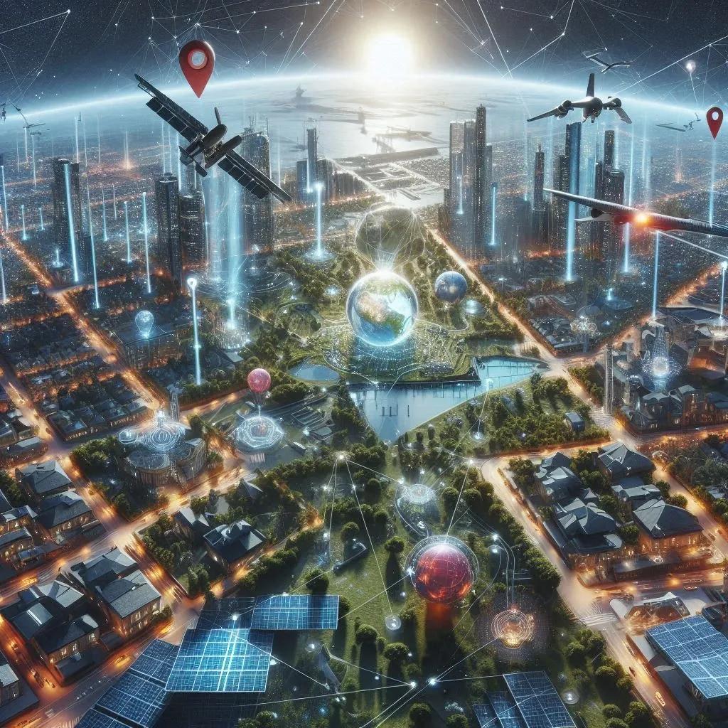
Land use planning is a critical process for managing the development and growth of urban, suburban, and rural areas. It involves the allocation of land for different uses such as residential, commercial, industrial, and agricultural purposes. Traditional land use planning methods often rely on manual surveys and static maps, which can be time-consuming and prone to errors. However, with the advent of advanced geospatial techniques, the process has become more efficient, accurate, and dynamic. This article explores how these techniques enhance land use planning and the benefits they offer to urban planners, developers, and policymakers.
Understanding Geospatial Techniques
Geospatial techniques encompass a range of technologies that collect, analyze, and visualize spatial data. These include Geographic Information Systems (GIS), Remote Sensing (RS), Global Positioning System (GPS), and Unmanned Aerial Vehicles (UAVs). Each of these technologies plays a unique role in enhancing land use planning:
Geographic Information Systems (GIS)
GIS is a powerful tool for managing and analyzing spatial data. It allows planners to visualize, interpret, and understand geographic information in ways that reveal relationships, patterns, and trends. GIS integrates various types of data, such as topography, land cover, population density, and infrastructure, into a single platform. This integration facilitates comprehensive analysis and informed decision-making in land use planning.
Remote Sensing (RS)
Remote sensing involves the use of satellite or aerial imagery to gather information about the Earth's surface. This technology provides high-resolution images that can be used to monitor land use changes, detect urban sprawl, and assess environmental impacts. Remote sensing data is invaluable for updating land use maps, identifying areas at risk of natural disasters, and planning sustainable development.
Global Positioning System (GPS)
GPS technology enables precise location tracking and mapping. In land use planning, GPS is used for accurate field surveys, boundary delineation, and infrastructure mapping. The real-time data provided by GPS enhances the accuracy of spatial databases and supports efficient land management.
Unmanned Aerial Vehicles (UAVs)
UAVs, or drones, are increasingly used in land use planning for their ability to capture detailed aerial imagery and 3D models. Drones can survey large areas quickly and provide up-to-date information on land use patterns, vegetation cover, and topographic features. UAVs are particularly useful in areas that are difficult to access or where traditional surveying methods are impractical.
Applications of Geospatial Techniques in Land Use Planning
The integration of geospatial techniques into land use planning offers several applications that improve the planning process:
Land Use Mapping and Zoning
Accurate land use maps are essential for effective planning and zoning. GIS and remote sensing technologies enable the creation of detailed land use maps that reflect current conditions and future projections. These maps help planners allocate land for different purposes, ensuring that residential, commercial, and industrial areas are appropriately located and that environmental resources are protected.
Urban Growth Management
Managing urban growth is a significant challenge for planners. Geospatial techniques provide the tools to monitor urban expansion and predict future growth patterns. By analyzing spatial data, planners can identify areas suitable for development, optimize infrastructure investments, and implement policies to control urban sprawl. Remote sensing data, combined with GIS analysis, can highlight trends in land use change and guide sustainable urban development.
Environmental Impact Assessment
Assessing the environmental impact of land use decisions is crucial for sustainable planning. Geospatial techniques allow planners to evaluate the effects of proposed developments on natural resources, wildlife habitats, and ecosystems. Remote sensing imagery can detect changes in land cover and vegetation, while GIS can model the potential impact of development on water resources, air quality, and biodiversity. This information supports the creation of mitigation strategies to minimize environmental damage.
Disaster Risk Management
Natural disasters such as floods, earthquakes, and landslides pose significant risks to land use planning. Geospatial techniques provide valuable data for identifying hazard-prone areas and developing risk management plans. GIS can analyze historical disaster data, terrain features, and land use patterns to create hazard maps. Remote sensing can monitor changes in environmental conditions that may indicate an increased risk of disasters. UAVs can conduct rapid assessments of affected areas, aiding in emergency response and recovery efforts.
Public Participation and Decision Making
Effective land use planning requires the involvement of various stakeholders, including the public. Geospatial techniques facilitate public participation by providing accessible and understandable visualizations of planning data. Interactive GIS maps and online platforms enable citizens to explore proposed land use plans, provide feedback, and participate in decision-making processes. This transparency fosters community engagement and ensures that planning decisions reflect the needs and preferences of the population.
Benefits of Advanced Geospatial Techniques
The adoption of advanced geospatial techniques in land use planning offers numerous benefits:
Improved Accuracy and Efficiency
Geospatial technologies provide precise and up-to-date spatial data, reducing the likelihood of errors in planning. Automated data collection and analysis streamline the planning process, saving time and resources.
Enhanced Data Integration
GIS integrates various types of spatial and non-spatial data, enabling comprehensive analysis and holistic planning. This integration supports better decision-making and more effective land management.
Real-Time Monitoring and Analysis
Remote sensing and UAVs provide real-time data, allowing planners to monitor land use changes and respond to emerging issues promptly. This capability is essential for adaptive planning and disaster management.
Better Visualization and Communication
Geospatial techniques offer powerful visualization tools that help planners communicate complex information effectively. Interactive maps and 3D models make it easier for stakeholders to understand and engage with planning data.
Sustainable Development
By incorporating environmental data and impact assessments, geospatial techniques promote sustainable land use planning. Planners can balance development needs with environmental protection, ensuring long-term sustainability.
In conclusion, advanced geospatial techniques are revolutionizing land use planning by providing accurate, efficient, and comprehensive tools for managing spatial data. The integration of GIS, remote sensing, GPS, and UAVs enhances the ability of planners to make informed decisions, manage urban growth, assess environmental impacts, and engage with the public. As these technologies continue to evolve, their role in land use planning will become increasingly critical, supporting the creation of sustainable, resilient, and well-managed communities.