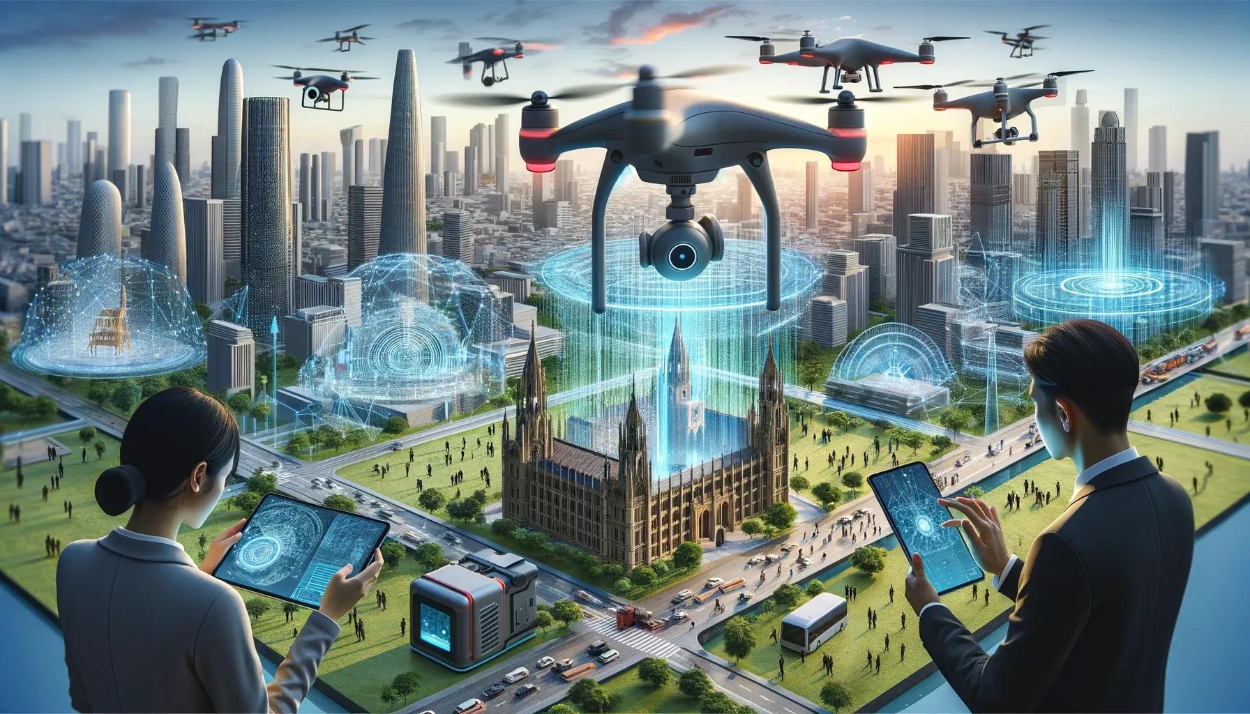
In the ever-evolving landscape of urban development and environmental management, drones and 3D scanners have emerged as pivotal tools, reshaping our approach to the human-built environment. The integration of these technologies, augmented by geospatial analysis, is not just enhancing our capacity to design and manage infrastructure but also enabling a more harmonious integration of natural phenomena into our urban fabric.
Revolutionizing Mapping and Monitoring with Drones
Drones, equipped with advanced tools like LiDAR and high-resolution cameras, have become indispensable in creating detailed 3D maps of structures and landscapes. This technology is proving invaluable across various sectors:
Construction and Urban Planning: In these sectors, drones facilitate tracking construction progress and identifying issues early on. Their usage in monitoring the health of aging infrastructure like bridges and dams is becoming increasingly crucial.
Environmental Surveys: Drones play a pivotal role in conducting environmental surveys and assessing natural hazards, aiding in disaster management and ecological conservation.
Urban Development: The efficiency of planning and managing urban development projects is significantly enhanced through the detailed aerial perspectives provided by drones.
Inspection and Maintenance Revolutionized
Drones have significantly impacted the way inspection and maintenance are conducted, especially in areas that are challenging to access:
Enhanced Safety and Cost-Efficiency: By minimizing the need for manual inspections in hazardous areas, drones improve worker safety and reduce the costs and downtime associated with traditional methods.
Proactive Problem Identification: Drones enable early detection of potential issues in structures like wind turbines or high-rise buildings, preventing major problems and ensuring structural integrity.
Geospatial Analysis through Drone Data
A key aspect of drone technology is its ability to gather data for geospatial analysis, which is crucial for:
Risk Assessment and Land Use Planning: Drones aid in creating digital elevation models (DEMs) that are essential for flood risk assessment and effective land use planning.
Environmental Monitoring: They are instrumental in tracking changes in vegetation cover and monitoring wildlife habitats, playing a vital role in conservation efforts.
3D Scanners: Enhancing Building Information Modeling (BIM)
3D scanners capture detailed models of buildings, integrating seamlessly into BIM software. This integration is transformative in:
Stakeholder Collaboration: It fosters improved collaboration and communication among architects, engineers, and construction professionals.
Optimized Design and Construction: The technology aids in optimizing building design and construction processes and preemptively identifying potential design issues.
Simulation and Planning: 3D scanners allow for the simulation of building performance, aiding in more efficient and effective planning.
Facility Management and Cultural Heritage Preservation
In facility management, 3D scans are pivotal for space planning, maintenance, and optimizing energy efficiency. In cultural heritage, they help in the preservation and restoration of historical sites and artifacts, providing a digital means of documentation and education.
The Crucial Role of Geospatial Technology Integration
Geospatial technology is the linchpin in integrating natural phenomena with the built environment. By synthesizing data from drones, 3D scanners, and other sensors, it enables:
Resilient Infrastructure Design: Understanding natural elements like floodplains and wind patterns is crucial in designing buildings resistant to extreme weather.
Creation of Sustainable Urban Spaces: The technology aids in designing green spaces and urban oases, balancing the built environment with natural elements.
Water Resource Management: It's instrumental in managing water resources effectively, addressing challenges like water scarcity and flood prevention.
Looking Ahead: The Future of These Technologies
As we stand on the cusp of technological advancements, the future of drones, 3D scanners, and geospatial technology in the built environment is brimming with potential. Their evolving sophistication and accessibility promise more innovative applications, paving the way for sustainable, resilient urban development.
In conclusion, the synergy of drones, 3D scanners, and geospatial technology is not just transforming the way we perceive and interact with our built environment; it's also opening avenues for a more integrated, sustainable approach to incorporating natural phenomena into our urban landscapes. This technological convergence is setting the stage for a future where urban and environmental management coexist in a more balanced and efficient ecosystem.