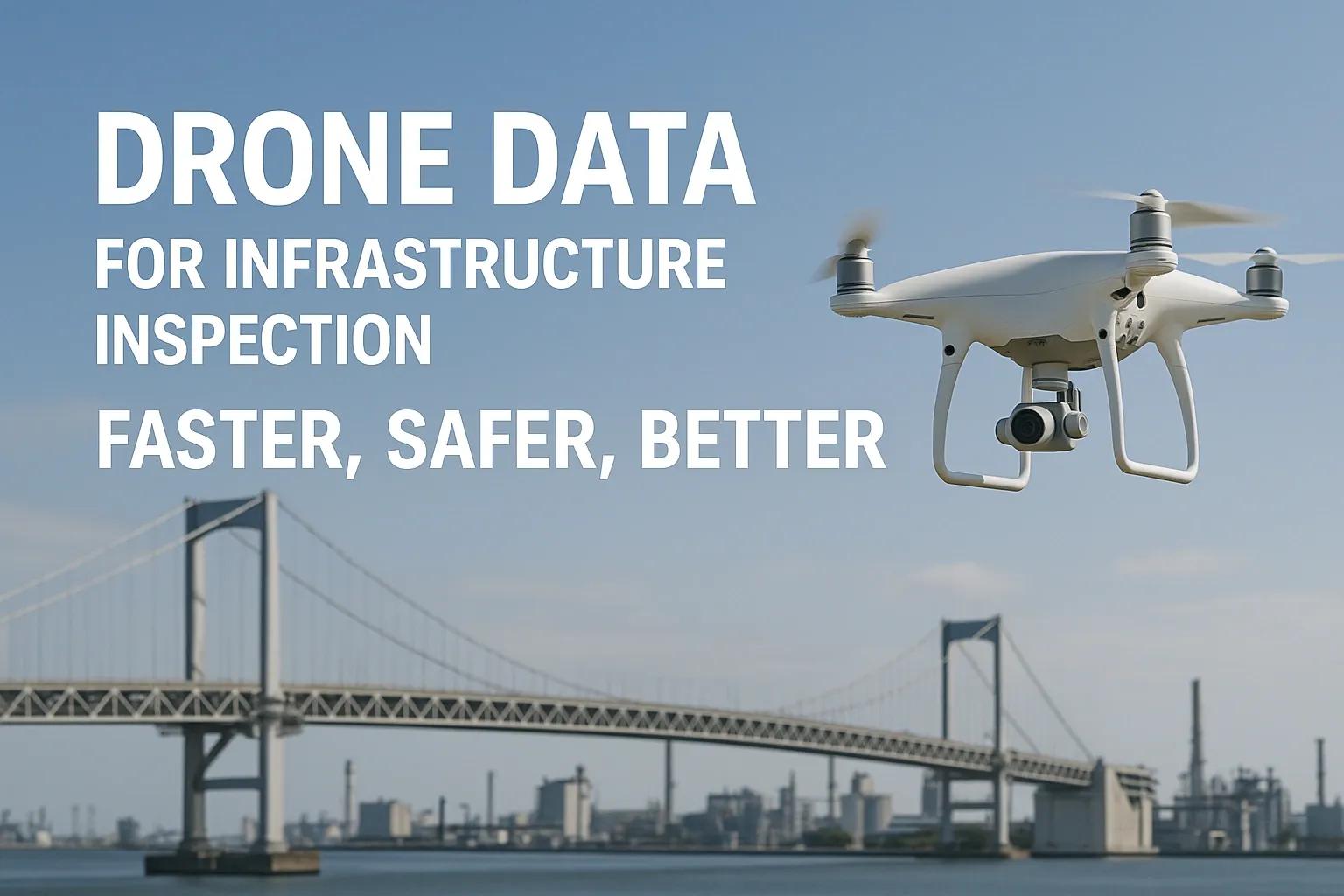
In the realm of infrastructure maintenance, traditional inspection methods, especially for high-risk structures like bridges, transmission lines, and industrial plants, have long been associated with high operational costs, time-consuming procedures, and considerable safety risks. However, with the rise of unmanned aerial vehicles (UAVs), or drones, the inspection landscape has shifted dramatically. Drone-based inspections are now being adopted globally for their efficiency, data accuracy, and operational safety. These benefits align well with the broader industry trends outlined in recent technology reports that emphasize automation, data-driven decision-making, and sustainable infrastructure management.
The Changing Landscape of Infrastructure Inspection
Historically, infrastructure inspections relied heavily on manual methods such as rope access, scaffolding, cherry pickers, and helicopters. These approaches are not only expensive but also carry significant risk to personnel, especially when working at height or near high-voltage equipment. Drones overcome these limitations by providing a remote and real-time aerial view of assets, reducing the need for physical access.
Global market projections suggest that the drone services industry is expected to surpass USD 63.6 billion by 2028, with infrastructure inspection being one of the fastest-growing verticals. The push towards predictive maintenance, aging infrastructure across the world, and strict safety regulations are driving this rapid adoption.
Key Advantages of Using Drones for Inspection
Speed : Drones can inspect kilometers of power lines or the full span of a large bridge in a matter of hours compared to days using manual methods.
Safety : No need for inspectors to climb towers, enter confined spaces, or operate in hazardous environments.
Data Quality : Equipped with high-resolution RGB cameras, thermal sensors, and LiDAR, drones collect precise and rich data layers.
Cost Efficiency : Reduces manpower requirements and the need for heavy equipment like scaffolding or helicopters.
Real-Time Decision Support : Data is transmitted in near real-time, enabling faster decisions and responses.
Applications by Sector
1. Bridges and Highway Structures
Bridge failures often result from undetected structural deficiencies. Regular inspection is critical, but conventional methods involve lane closures, prolonged site occupation, and dangerous physical access. Drones eliminate these pain points.
Visual Crack Detection : High-resolution imagery identifies surface cracks, corrosion, and joint misalignment.
Thermal Imaging : Detects subsurface anomalies and water infiltration.
3D Modeling with Photogrammetry : Allows engineers to create digital twins of the bridge structure for change detection over time.
Progressive Monitoring : Enables comparisons with previous datasets for early-stage degradation detection.
Example: In the United States, departments of transportation (DOTs) in several states have adopted UAVs to inspect aging bridges. FAA-approved drones help in capturing close-up imagery of girders and bearings, which are otherwise hard to access without risking personnel safety.
2. Transmission Lines and Electrical Infrastructure
Energy utilities are under constant pressure to ensure the uninterrupted operation of power lines, especially during extreme weather events. Traditional line inspections involve helicopters or climbing towers, both risky and expensive. Drones provide a game-changing alternative.
Corona Discharge and Hotspot Detection : Using UV and thermal cameras.
Vegetation Encroachment Monitoring : LiDAR-equipped drones can detect trees threatening to interfere with power lines.
Tower and Insulator Integrity : Drones capture visual and thermal data to detect chipped insulators or rusted components.
AI Integration : Images can be analyzed using machine learning algorithms to automate fault classification.
Example: In India, Power Grid Corporation has initiated drone-based inspection of transmission towers to reduce outage times and improve worker safety in high-voltage zones.
3. Industrial Plants and Refineries
Industrial sites, especially in sectors like oil & gas and manufacturing, present complex environments filled with pipelines, stacks, confined spaces, and high-temperature zones. Inspections in these settings traditionally demand shutdowns or rope-access experts.
Non-Invasive Inspection : Drones can fly into chimneys, cooling towers, or between machinery to inspect without interrupting operations.
Thermal Surveys : Identify heat anomalies in pipes, tanks, and rotating equipment that could indicate leaks or overheating.
Gas Detection Payloads : Advanced drones can be equipped with sensors to detect methane and other hazardous gases.
Digital Records : Routine flights can build historical inspection records to track deterioration.
Example: Shell and Chevron have adopted drone inspections for their offshore rigs and refineries, improving maintenance planning and avoiding unplanned shutdowns.
Data Processing and Integration with Digital Platforms
Drones generate massive volumes of visual, thermal, and geospatial data. To maximize value from these datasets, integration with analytics platforms is essential. This is where technologies like:
AI/ML : To automate defect detection.
Digital Twins : To map drone data onto 3D models for simulations and lifecycle management.
Cloud Platforms : For scalable storage and team collaboration.
GIS Systems : For spatial alignment and historical mapping.
These integrations enable stakeholders to transition from reactive to predictive maintenance strategies, reducing lifecycle costs and improving asset uptime.
Challenges and Considerations
Despite the clear advantages, organizations must address several operational and regulatory concerns:
Data Security : Sensitive infrastructure data must be stored and transmitted securely.
Flight Regulations : Compliance with local UAV laws, including permissions for beyond-visual-line-of-sight (BVLOS) flights.
Training : Skilled pilots and data analysts are needed to operate drones and interpret outputs correctly.
Sensor Selection : Choice of payload (e.g., LiDAR, thermal, multispectral) must align with inspection goals.
These are not insurmountable and can be managed through proper planning, training, and choosing the right drone service provider or system integrator.
The Road Ahead: Drones as a Standard Tool
Looking forward, drones will become a standard tool in the asset management toolkit. Advancements in autonomous flight, edge computing, and swarm technology will further enhance efficiency. AI-driven defect analysis, combined with geospatial mapping, will enable fully automated inspection-to-decision pipelines. In India and globally, the push for smart cities and resilient infrastructure, coupled with aging assets, will continue to fuel this transformation.
As infrastructure sectors seek to modernize inspection workflows, drone technology offers a pragmatic path forward, faster, safer, and better.
Conclusion
Drones are not just an incremental improvement in infrastructure inspection, they represent a paradigm shift. By significantly enhancing safety, reducing costs, and providing high-fidelity data, UAVs are reshaping how bridges, power lines, and industrial sites are maintained and managed. When integrated with digital platforms like BIM, GIS, and AI analytics, drone-based inspection becomes a cornerstone of intelligent infrastructure management. Organizations that embrace this transformation early are better positioned to ensure reliability, reduce downtime, and optimize their asset lifecycles.