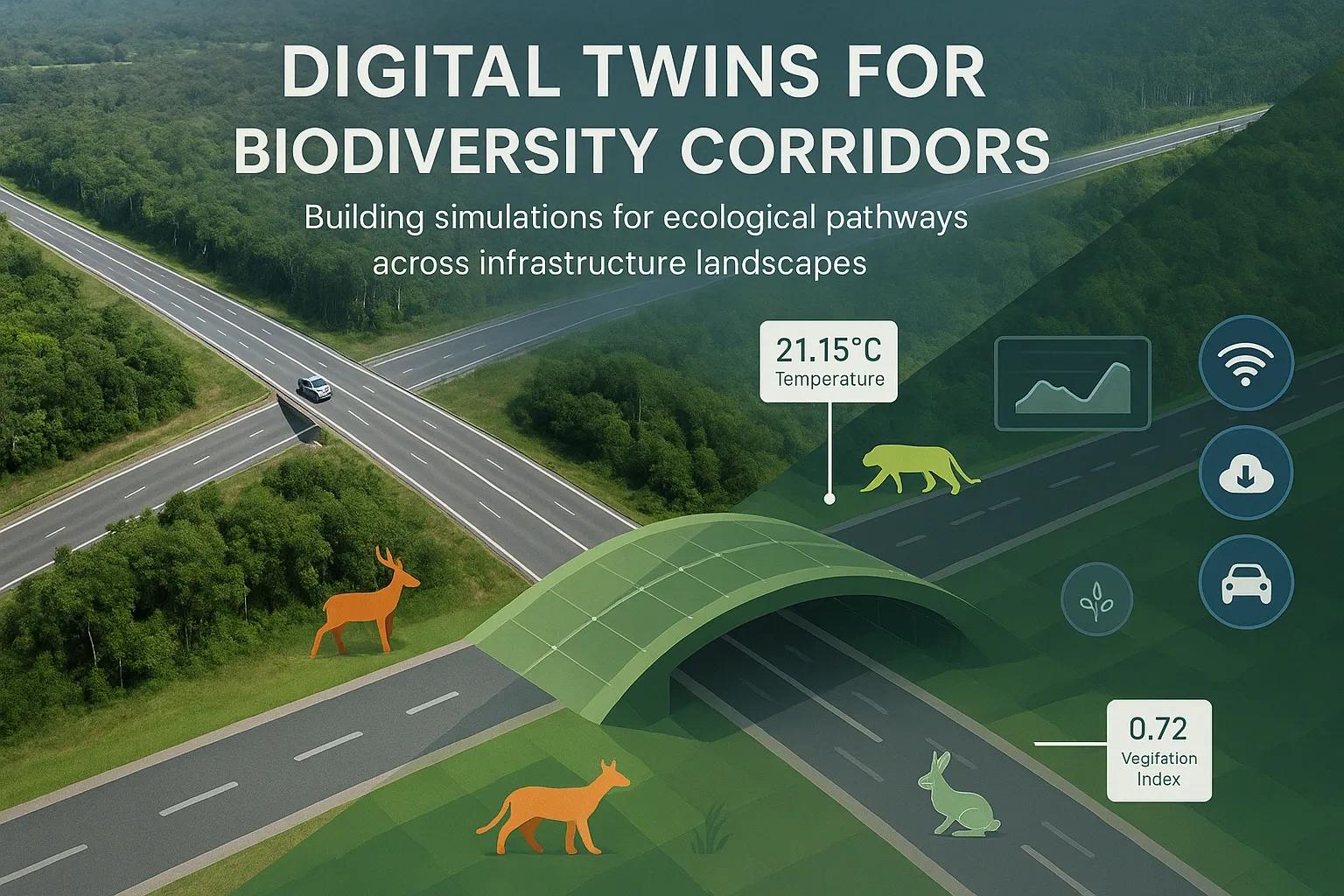
As global infrastructure expands, fragmentation of natural habitats has become a key threat to biodiversity. Roads, railways, urban zones, and industrial corridors frequently cut across wildlife territories, impeding species migration, gene flow, and ecological resilience. Biodiversity corridors, stretches of preserved or restored habitat that connect isolated patches, are essential for maintaining ecosystem health in such disrupted landscapes.
Digital twin technology, initially developed for industrial asset management and urban planning, is now emerging as a powerful tool in environmental conservation. By creating virtual replicas of physical ecosystems, digital twins offer a data-driven way to simulate, assess, and manage biodiversity corridors across infrastructure-heavy regions.
This article explores the technical foundations and applications of digital twins in modeling biodiversity corridors. It covers data inputs, modeling techniques, stakeholder benefits, and implementation challenges, particularly within the context of ecological sustainability and infrastructure development.
What Are Biodiversity Corridors?
Biodiversity corridors (also called wildlife or ecological corridors) are designated areas that allow species to migrate between habitats. They are crucial for:
Gene flow between isolated populations
Seasonal migration and daily foraging
Avoidance of inbreeding and local extinctions
Adapting to climate-induced habitat shifts
Corridors may be natural (e.g., riverbanks, ridgelines) or engineered (e.g., green bridges, underpasses). Designing them effectively requires understanding species movement, land-use dynamics, and human infrastructure footprints.
Digital Twins: A New Paradigm in Corridor Modeling
A digital twin in this context is a real-time, dynamic simulation of an ecological corridor that reflects ongoing changes in both natural systems and human activity. Unlike static GIS models, digital twins integrate multiple data sources to provide continuous feedback, scenario simulation, and predictive analytics.
Key capabilities include:
Real-time monitoring of environmental variables (e.g., temperature, humidity, vegetation health)
Simulation of species movement using behavioral and environmental models
Visualization of land-use change and urban encroachment
Predictive impact modeling for infrastructure development (roads, dams, pipelines)
Core Components of a Biodiversity Corridor Digital Twin
Geospatial Base Layer High-resolution satellite imagery Land use/land cover (LULC) classification Topography and slope from DEMs Infrastructure networks (roads, railways, urban zones)
Ecological and Biodiversity Data Species distribution models (SDMs) Telemetry/GPS tracking data from tagged animals IUCN Red List status and habitat preferences Camera trap and acoustic sensor data
Sensor and IoT Integration Remote sensors to monitor temperature, humidity, air/water quality Drones for aerial surveys and vegetation mapping Camera traps linked to real-time analytics platforms
Simulation and AI Engine Agent-based models to simulate animal movement ML models for predicting habitat suitability Rule-based systems for ecological impact assessment Real-time feedback loops for recalibration
User Interface and Visualizations 3D terrain models Cross-sectional corridor profiles Heatmaps of species movement probability Scenario comparison tools (e.g., pre- and post-infrastructure development)
Applications in Infrastructure Landscapes
Digital twins help stakeholders balance ecological needs with economic development. Here’s how they can be deployed across infrastructure-heavy zones:
Transport Infrastructure Planning Simulate wildlife crossings before highway construction Optimize placement of green bridges and underpasses Assess noise and pollution impacts on nearby habitats
Urban Expansion Control Monitor encroachment into buffer zones of reserves Identify pinch points in corridors due to new housing or industry Model future urban heat islands affecting flora and fauna
Renewable Energy Projects Analyze impacts of solar/wind farms on migratory paths Adjust turbine placements to avoid bird and bat mortality hotspots
Pipeline and Transmission Routes Evaluate habitat fragmentation risks from linear infrastructure Suggest rerouting or mitigation via alternative pathways
Use Case: Simulating a Tiger Corridor in Central India
India’s central region hosts a network of tiger reserves connected by narrow forest strips. A proposed highway expansion through one such corridor posed a threat to the free movement of tigers and other species.
A digital twin was developed using:
LULC data from Sentinel-2 imagery
Movement data from radio-collared tigers
Agent-based simulations for crossing behavior
Proximity analysis for village-human interaction risks
The model demonstrated that traffic density above a certain threshold would deter tiger crossings. Based on simulation outputs, an elevated wildlife overpass and time-restricted vehicle flow were recommended. The corridor’s health is now being monitored continuously using camera traps and environmental sensors, feeding live data into the twin for recalibration.
Benefits for Stakeholders
Conservationists : Predict outcomes of habitat restoration or degradation
Urban Planners : Optimize land use while minimizing ecological disruption
Transport Authorities : Design infrastructure with minimal environmental penalties
Policy Makers : Base environmental clearance decisions on real-time impact assessments
Local Communities : Reduce human-wildlife conflict through informed development zoning
Challenges and Limitations
Data Scarcity : In many regions, high-resolution species and movement data are limited.
Complexity of Biological Systems : Simulating ecosystem dynamics accurately requires deep ecological expertise.
Integration Overheads : Synchronizing diverse datasets (satellite, sensor, field data) is technically demanding.
Scalability : Models built for specific geographies may not generalize well.
Cost : Initial development and sensor deployment are capital-intensive.
Future Outlook
Interoperability with Conservation Platforms : Integration with tools like Global Biodiversity Information Facility (GBIF) or Protected Planet databases.
AI-Augmented Prediction : Deep learning models trained on historical data can refine future movement patterns.
Citizen Science Integration : Public sightings and community mapping can feed into digital twin updates.
Climate Adaptation Scenarios : Simulating shifts in corridors under IPCC-defined climate pathways.
Conclusion
Digital twins offer a transformative approach to designing and maintaining biodiversity corridors in infrastructure-heavy landscapes. By combining ecological knowledge, real-time data, and advanced simulation tools, these digital ecosystems provide actionable insights for planners, policymakers, and conservationists alike.
As both infrastructure and biodiversity demands rise globally, embedding digital twin technology into environmental planning frameworks is not just beneficial, it’s necessary. The success of such tools depends on interdisciplinary collaboration, scalable data frameworks, and continued investment in ecological monitoring technologies.