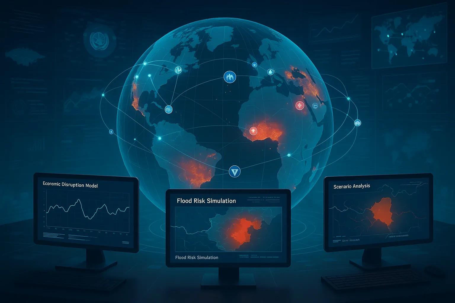
In an era defined by complex global interdependencies, real-time data, and unpredictable geopolitical shifts, traditional models of international strategy and crisis response are becoming outdated. Enter Digital Twin Diplomacy , the convergence of digital twin technology and international relations. By creating dynamic, real-time virtual models of physical systems, cities, borders, supply chains, economic networks, and even entire nations, digital twins offer governments a new toolkit for simulating, analyzing, and preparing for geopolitical events and disasters.
Originally developed in industrial and manufacturing sectors, digital twins are now extending into domains like urban planning, environmental monitoring, and defense. When applied to diplomacy and global strategy, this approach holds the potential to fundamentally reshape how nations prepare for crises, negotiate policy, and assess risk.
What is Digital Twin Diplomacy?
Digital twin diplomacy refers to the use of digital twin technology, virtual replicas of physical systems connected through real-time data, for simulating, monitoring, and strategizing around geopolitical and economic scenarios. This includes:
Simulating cross-border conflicts or refugee flows.
Stress-testing economic models under sanctions or trade blockades.
Analyzing the geopolitical ripple effects of a natural disaster.
Forecasting supply chain disruptions due to political instability.
Evaluating the environmental impact of infrastructure projects along disputed borders.
These simulations integrate diverse data sources: satellite imagery, sensor networks, economic indicators, historical records, and AI-based predictive analytics. The result is a comprehensive “living model” of complex international systems, one that policymakers can interrogate in real time.
Core Components of a Geopolitical Digital Twin
To build an effective digital twin for diplomacy or disaster response, several core components must be integrated:
1. Data Infrastructure
Geospatial Data : Satellite imagery, border delineations, terrain, urban footprints.
IoT Sensors : Environmental data (e.g., air quality, seismic activity), border surveillance, logistics monitoring.
Economic & Social Data : Trade flows, migration trends, commodity prices, energy usage.
Open-Source Intelligence (OSINT) : News reports, social media analysis, public sentiment tracking.
2. Simulation Models
Agent-Based Models (ABMs) : Simulate individual actors (e.g., citizens, governments, companies) and their interactions under different conditions.
System Dynamics Models : Track interlinked variables (e.g., inflation, unemployment, fuel prices) over time.
Environmental Models : Flood simulations, climate impact scenarios, natural disaster forecasts.
3. Visualization and Analytics Layer
GIS dashboards for spatial analysis.
Real-time heatmaps of unrest or humanitarian needs.
Predictive alerts for cascading failures or opportunities for de-escalation.
Applications in Diplomacy and Strategic Planning
1. Simulating Sanction Impacts
Digital twins can model how sanctions on a particular country affect not just its economy but also global trade networks. For example, a digital twin of the Russian-European energy corridor can simulate:
Gas supply disruptions and their downstream impact on heating in EU member states.
Ripple effects on global fertilizer and wheat markets.
Changes in energy consumption patterns across Asia.
These insights enable better preparation, such as stockpiling, rerouting trade, or negotiating alternative energy deals, with minimal guesswork.
2. Disaster Diplomacy and Humanitarian Corridors
When natural disasters strike politically sensitive regions, digital twins can help coordinate international responses. For instance:
Earthquake simulations along the Turkey–Syria border can inform safe humanitarian routes.
Flood forecasting in South Asia can model cross-border water flow impacts and pre-empt displacement patterns.
These simulations allow diplomatic actors like the UN or regional blocs to negotiate access, allocate resources, and avoid secondary crises (e.g., food insecurity, disease outbreaks).
3. Climate Risk and Shared Resources
Shared river basins, mountain ranges, and forest ecosystems often become diplomatic flashpoints. Digital twins of these environments can help:
Simulate long-term climate impacts (e.g., glacial melt in the Himalayas).
Forecast water stress levels across regions like the Indus Basin or Mekong Delta.
Support joint governance by offering a common, transparent source of truth.
Such tools build trust by reducing information asymmetry and enabling co-managed risk strategies.
The Strategic Edge: Scenario Planning for National Security
In the realm of national security and strategic foresight, digital twins support:
Wargaming : Simulating military conflicts under various strategic assumptions (e.g., maritime blockade, cyber-attack).
Supply Chain Resilience : Testing the robustness of essential imports under different threat scenarios.
Crisis Diplomacy Simulations : Training diplomats and leaders through synthetic but realistic virtual exercises.
For example, a digital twin of the Taiwan Strait shipping lanes can simulate the impact of naval conflict on global semiconductor supply. This lets stakeholders stress-test emergency logistics and evacuation plans, all before a real crisis unfolds.
Challenges and Limitations
Despite its promise, digital twin diplomacy faces several challenges:
Data Availability and Trust : Nations may hesitate to share sensitive data or may dispute the validity of model inputs.
Model Accuracy : Simulations are only as good as the assumptions and data behind them. Predictive reliability varies by context.
Ethical Risks : Simulated scenarios could be misused to justify aggressive postures or interventions under the guise of “prevention.”
Digital Sovereignty : Who owns, controls, and has access to geopolitical digital twins? Third-party platforms or cloud providers may pose risks.
Future Outlook
The integration of AI, edge computing, and quantum technologies will further enhance the capabilities of digital twin diplomacy. We can expect:
Near real-time “what-if” dashboards for policy teams.
Integrated early warning systems for climate refugees or armed conflict.
Global consortia for shared digital twins of critical transboundary systems, similar to open climate models or space monitoring.
The World Economic Forum, UNDRR, and NATO have already shown interest in simulation-based planning. As more nations invest in geospatial infrastructure and AI talent, digital twin diplomacy could become a standard tool in foreign ministries, defense departments, and climate negotiation tables.
Conclusion
Digital twin diplomacy represents a transformative shift in how nations navigate uncertainty. By enabling the simulation of economic shocks, disaster responses, and geopolitical tensions, digital twins can help diplomats and policymakers move from reactive decision-making to proactive, data-informed strategy.
In a multipolar world where crises are increasingly complex and interconnected, the ability to visualize and test geopolitical scenarios before they unfold is not just a technical advantage, it’s a strategic imperative.