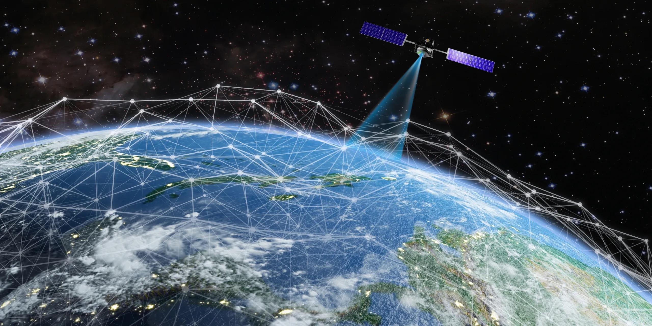
In today’s world, satellite data is more than just images of clouds and landscapes, it’s a powerful tool that helps us understand and manage our planet. Thanks to new technologies like cloud computing and open-data initiatives, satellite imagery is now available to anyone with an internet connection. This article explains how Earth Observation (EO) data is becoming accessible to local planners, small businesses, farmers, students, and many others, making decision-making more informed and inclusive.
The Rise of Digital Earth
Satellites have been orbiting our planet for decades, capturing images that scientists use to study weather patterns, track natural disasters, and monitor environmental changes. Traditionally, the data collected by these satellites was available only to researchers and large organizations with the technical know-how to interpret complex imagery. However, with the advent of cloud computing and open-data policies, the landscape is changing.
Cloud computing allows data to be stored, processed, and shared over the internet. This means that massive amounts of satellite data can now be made available in formats that are easier to access and analyze. Open-data initiatives, on the other hand, ensure that governments and organizations release satellite data for free public use. The result is a democratization of information, what was once a specialized resource is now a tool for anyone who needs it.
Simplifying Complex Data
One of the biggest challenges in using satellite data has been its complexity. High-resolution images and technical datasets often require specialized software and advanced training to understand. Today, developers are creating user-friendly tools that simplify this data. For instance, interactive maps, real-time alerts, and mobile applications turn raw satellite data into easily digestible information.
Imagine a local government officer who needs to monitor urban development. Instead of hiring expensive consultants or relying on outdated maps, they can access free satellite maps online. These maps show real-time changes in urban areas, making it easier to plan infrastructure projects and manage city growth. Similarly, a farmer can use a smartphone app to view satellite data on rainfall patterns, soil moisture, and vegetation health. This information can help them decide the best time to plant crops, how to manage irrigation, and how to prepare for droughts.
Empowering Local Decision-Making
The shift toward making EO data accessible has significant implications for local governance and business planning. When local decision-makers have direct access to high-quality satellite data, they can make better decisions based on the latest information. Here are a few examples:
Urban Planning: City planners can use satellite images to track new construction, monitor traffic patterns, and manage public services. This data helps them identify which areas are growing rapidly and may need additional resources or infrastructure improvements.
Disaster Management: During natural disasters like floods or wildfires, rapid access to satellite imagery can be a lifesaver. Emergency responders can use the data to identify affected areas, plan evacuation routes, and coordinate relief efforts. Interactive maps and real-time updates make it easier to reach those in need quickly.
Agriculture: Farmers benefit from satellite data that tracks weather conditions, crop health, and water availability. By understanding these patterns, they can optimize planting schedules, manage resources more efficiently, and reduce the risk of crop failure.
Environmental Monitoring: Conservationists and environmental agencies can monitor changes in forests, rivers, and wildlife habitats. This helps them detect illegal activities like deforestation and track the health of ecosystems, ensuring that natural resources are managed sustainably.
How Technology Makes It Possible
Two key technologies are driving the democratization of EO data: cloud computing and open-data initiatives.
Cloud Computing: Cloud platforms store large volumes of data and make them accessible through the internet. This means that satellite images can be processed and analyzed remotely. Users don’t need expensive computers or software to handle the data; all the heavy lifting is done in the cloud. This accessibility lowers the barrier for entry, allowing anyone with basic digital skills to tap into satellite data.
Open-Data Initiatives: Many governments and space agencies now share satellite data with the public. Programs such as the European Space Agency’s Copernicus or NASA’s Earth Observing System provide free access to vast amounts of information. This transparency supports research, innovation, and practical applications in various sectors. With open data, the focus shifts from data collection to data application, how to use the available information to solve real-world problems.
A Broader Impact on Society
The democratization of EO data is more than a technological breakthrough, it’s a step toward more inclusive and agile decision-making. Here are some broader impacts:
Inclusivity: By making satellite data accessible to everyone, more voices can be part of the conversation. Local communities, small businesses, and independent researchers can contribute to data-driven decision-making. This inclusivity can lead to better, more balanced policies that consider the needs of all stakeholders.
Agile Governance: With real-time access to information, governments can respond more quickly to changes. This agility is crucial in times of crisis, such as during a natural disaster or an emerging environmental issue. Real-time data enables officials to take swift action, potentially saving lives and reducing damage.
Economic Opportunities: Open access to satellite data can also drive economic growth. Start-ups and small businesses can develop innovative applications that use this data in creative ways. From precision agriculture tools to urban planning software, the possibilities are vast. This innovation leads to job creation and a more competitive market, benefiting society as a whole.
Challenges and the Road Ahead
Despite the many benefits, there are still challenges to overcome. Not everyone has equal access to digital tools or the internet, which can limit the reach of these initiatives. Additionally, while user-friendly tools are becoming more common, there is still a learning curve for many users. Education and training will be key to ensuring that everyone can benefit from EO data.
Privacy and data security are also important considerations. As more information becomes publicly available, it is crucial to protect sensitive data and ensure that it is used ethically. Governments and organizations must work together to create guidelines that balance transparency with privacy concerns.
Looking ahead, the trend toward digital earth is likely to continue. Advances in technology will further simplify the process of collecting, processing, and sharing satellite data. As tools become even more accessible, we can expect a future where data-driven decision-making is the norm, not the exception.
Real-World Examples
To understand the impact of democratizing EO data, let’s look at a couple of real-world examples:
Local Government in Action: A small town facing rapid urban growth can use satellite data to monitor how new developments are affecting traffic, green spaces, and public services. With interactive maps available online, city officials can plan better routes for buses, identify areas that need more parks, and even predict where future growth will occur.
Farming with Satellites: In rural areas, farmers increasingly rely on smartphone apps that deliver satellite-based insights. For instance, a farmer in a remote region can receive alerts about changes in rainfall patterns. This information helps them make informed decisions about irrigation and planting, ultimately leading to better crop yields and more efficient use of resources.
Conclusion
The concept of Digital Earth represents a major shift in how we use and understand satellite data. By breaking down technical barriers and making EO data accessible to everyone, this movement is changing the way decisions are made in government, business, and everyday life. Whether it’s tracking urban development, managing natural disasters, or optimizing farming practices, the democratization of satellite data empowers individuals and communities with the tools they need to make smarter choices.
In a world where information is power, Digital Earth is a clear example of how technology can transform society for the better. With continued advances in cloud computing and open-data initiatives, the benefits of satellite insights will reach even more people, fostering a future where informed decisions drive progress across all sectors. No longer confined to the realm of experts, satellite data is now a resource for everyone, paving the way for a more resilient, innovative, and inclusive world.