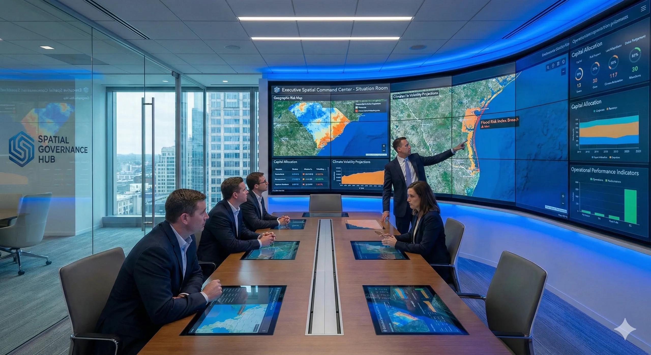
Visibility changes behavior
Every major enterprise has reporting systems.
Few have command systems.
Reports summarize the past.
Command centers shape the present.
In a world of climate volatility, infrastructure interdependence, capital exposure, and regulatory pressure, governance cannot rely on static dashboards.
It requires spatially aware, real-time visibility.
The executive “situation room” is no longer cinematic fiction.
It is becoming operational necessity.
What is a Spatial Command Center?
A Spatial Command Center is an integrated decision environment where:
Geographic risk layers
Asset exposure metrics
Capital allocation data
Climate projections
Operational performance indicators
converge into a unified, real-time governance interface.
It answers one core question:
What is happening geographically right now and how does it affect capital and risk?
Why traditional dashboards fall short
Most dashboards:
Present aggregated metrics
Separate risk from geography
Update periodically
Sit outside decision workflows
They inform.
They do not govern.
A command center is different because it:
Integrates spatial exposure directly into executive review
Links real-time data with predefined action thresholds
Connects risk signals to operational triggers
Embeds accountability in response protocols
Visibility without action design is observation.
Command centers are built for action.
Core components of a Spatial Command Center
A robust executive spatial environment typically includes:
1️⃣ Live Geographic Exposure Panel
Asset concentration heatmaps
Climate alerts
Infrastructure vulnerability layers
Regulatory zone overlays
This makes exposure visible instantly.
2️⃣ Capital & Portfolio Overlay
Investment allocation by geography
Exposure-adjusted return models
Reinforcement backlog maps
Diversification indices
This connects geography to capital.
3️⃣ Scenario Simulation Console
Climate projections (2030 / 2040 / 2050)
Infrastructure stress simulations
Demand cluster shifts
Emergency response modeling
This converts uncertainty into modeled foresight.
4️⃣ Action Threshold & Governance Protocols
Defined exposure thresholds
Trigger-based escalation paths
Committee notification workflows
Response time metrics
This ensures accountability.
A practical scenario
Consider a coastal infrastructure enterprise.
Traditional reporting:
Quarterly risk summary
Annual climate assessment
Spatial Command Center:
Live flood risk index updates
Asset vulnerability heatmap refreshes
Exposure threshold breach alerts
Automated escalation to risk committee
Instead of discovering exposure post-event, leadership intervenes pre-event.
Governance shifts from reactive to anticipatory.
Why this matters now
Three forces are converging:
Real-time sensor networks
Advanced spatial analytics
Increasing geographic volatility
The technology now exists to monitor spatial exposure continuously.
The question is whether governance architecture keeps pace.
Where organizations hesitate
Common concerns include:
Information overload
Cost of integration
Data reliability
Organizational readiness
But the greater risk is fragmented visibility.
In high-volatility environments, delayed spatial awareness amplifies capital impact.
From dashboard to decision theater
The executive situation room is not about screens.
It is about structured decision flow:
Geographic signal detected
Threshold crossed
Governance triggered
Capital reallocated
Risk mitigated
This transforms spatial intelligence from analytical support into operational command.
The monetization bridge
As enterprises mature in spatial governance, many seek structured advisory frameworks and scalable spatial platforms that integrate real-time exposure monitoring, capital overlays, scenario modeling, and executive escalation workflows into unified command environments. The value lies not in visualization alone, but in designing governance architecture that converts geographic insight into timely action.
Looking ahead
In the next decade, competitive advantage will not belong to organizations with more data.
It will belong to those with faster geographic situational awareness.
Resilience will depend on how quickly leadership sees, interprets, and responds to spatial signals.
Closing insight
Reports explain what happened.
Command centers shape what happens next.
When geography becomes visible in real time at the executive level, governance becomes proactive.
That is the future of spatial intelligence.