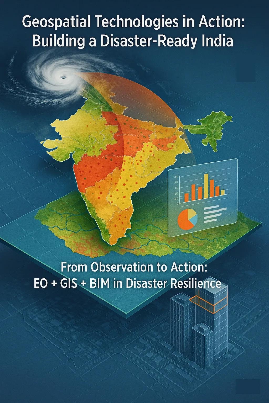
Disasters, both natural and manmade, pose significant risks to life, infrastructure, and the economy. In India, with its diverse geography and population density, the need for proactive disaster management is critical. The National Disaster Management Authority (NDMA) has laid out a clear vision: to build a safer and disaster-resilient India through a holistic, technology-driven approach. At the heart of this strategy is the use of geospatial technologies, specifically, Earth Observation (EO), Geographic Information Systems (GIS), and Building Information Modeling (BIM).
These tools are not just supplementary aids but core enablers of risk identification, early warning, impact modeling, and rapid response planning. This article unpacks NDMA’s approach and shows how geospatial technology is becoming a backbone of disaster risk reduction (DRR) in India.
NDMA’s Vision and the Role of Technology
NDMA’s National Disaster Management Plan (NDMP) stresses four priority areas, in line with the Sendai Framework for Disaster Risk Reduction (SFDRR) :
Understanding disaster risk
Strengthening disaster risk governance
Investing in disaster risk reduction
Enhancing disaster preparedness for effective response
Geospatial technologies support all four pillars. By integrating spatial data across national and local scales, agencies can visualize vulnerabilities, model hazards, simulate impacts, and plan mitigation strategies effectively.
Earth Observation (EO): A Macroscale Risk Lens
Earth Observation satellites provide consistent and objective data over large areas, enabling authorities to assess conditions that contribute to disasters.
Key EO Applications in DRR:
Flood Risk Mapping: Using Synthetic Aperture Radar (SAR) imagery, agencies can map flood extents even during cloudy weather, enabling real-time flood tracking.
Landslide Susceptibility: EO data combined with slope, lithology, and rainfall records help identify high-risk areas.
Drought Monitoring: Remote sensing indices like NDVI (Normalized Difference Vegetation Index) and VCI (Vegetation Condition Index) support drought early warning systems.
Cyclone Monitoring: Indian satellites like INSAT and Oceansat provide vital data for cyclone tracking, wave modeling, and storm surge forecasting.
India’s Space Application Centre (SAC-ISRO) and the National Remote Sensing Centre (NRSC) routinely provide satellite-derived products to NDMA, State Disaster Management Authorities (SDMAs), and the general public through portals like Bhuvan , MOSDAC , and VEDAS .
GIS: Mapping Vulnerability and Enabling Coordination
Geographic Information Systems (GIS) transform EO data into actionable insights by layering them with socio-economic, environmental, and infrastructural data.
Use Cases in Disaster Management:
Hazard Zonation: GIS helps create multi-hazard maps by combining geological, meteorological, and hydrological datasets.
Critical Infrastructure Mapping: Mapping lifelines such as hospitals, schools, and emergency shelters is essential for response planning.
Evacuation Planning: Route optimization using road networks and terrain data supports evacuation logistics.
Damage Assessment: Post-disaster satellite data, when overlaid with census or land use layers, helps assess damage at a granular level.
At the national level, the National Database for Emergency Management (NDEM) integrates GIS data layers to support all phases of disaster management, from mitigation to recovery.
BIM: Building Resilience from the Ground Up
While EO and GIS operate at macro and meso levels, Building Information Modeling (BIM) provides micro-level granularity in infrastructure resilience.
How BIM Supports DRR:
Structural Simulations: BIM enables simulation of structural behavior under seismic, wind, and flood loads.
Infrastructure Audits: Integration of design specifications, materials, and spatial context allows for detailed vulnerability assessments.
Safe Shelter Design: NDMA guidelines for cyclone- and earthquake-resistant structures can be embedded into BIM templates to standardize resilient designs.
Integration with IoT: BIM platforms integrated with sensor data (e.g., for flood water levels, vibration sensors) create intelligent digital twins of critical buildings.
States like Gujarat and Odisha have piloted BIM in public infrastructure projects, embedding disaster resilience at the design stage.
Synergizing EO, GIS, and BIM: A Unified Digital Framework
To be truly effective, these technologies must operate in tandem.
Example Workflow for Flood Management:
EO Data: Detect rainfall patterns and rising river levels in real-time.
GIS Analysis: Identify flood-prone zones and map vulnerable populations.
BIM Models: Simulate flood ingress in key infrastructure and plan protective measures.
Such integration ensures that national disaster plans are not static PDFs, but living, data-driven platforms for coordinated action.
Government Initiatives and Policy Backing
Several Indian initiatives have been launched to operationalize geospatial technologies in disaster risk reduction:
Digital India and National Geospatial Policy 2022: Encouraging open access to foundational geospatial data, enabling faster disaster analysis and response.
National GIS Mission: Aims to create a nationwide GIS platform with layers like elevation, infrastructure, hydrology, and demographics.
Common Alerting Protocol (CAP): A standardized framework for real-time alerts via SMS, apps, sirens, and television, increasingly integrated with GIS dashboards.
At the urban level, the Smart Cities Mission mandates the use of geospatial data for emergency services and infrastructure monitoring.
Challenges in Implementation
Despite progress, challenges persist:
Data Silos: Agencies maintain separate data systems, limiting interoperability.
Capacity Gaps: Skilled professionals in EO/GIS/BIM are limited at the district and municipal levels.
Real-time Data Bottlenecks: Lack of integrated sensor networks limits situational awareness during evolving disasters.
Policy-Technology Lag: Delays in updating building codes and urban bylaws to reflect latest tech standards slow down adoption.
Addressing these gaps requires both investment and institutional alignment.
The Way Forward
Decentralized GIS Units: Establish district-level GIS cells integrated with disaster management authorities.
AI and Machine Learning: Integrate AI for real-time EO data analysis and damage predictions.
Capacity Building: Launch NDMA-accredited certification programs in GIS, EO, and BIM for government officers and planners.
Digital Twin Cities: Promote BIM-GIS fused digital twins for infrastructure that can adapt to and recover from disasters faster.
Open Data Ecosystems: Strengthen platforms like Bhuvan Panchayat and India Urban Data Exchange (IUDX) to enable grassroots DRR solutions.
Conclusion
NDMA’s vision for disaster resilience is aligned with modern technological capabilities. EO, GIS, and BIM are not future tools, they are present-day imperatives. When integrated smartly, they empower authorities to reduce risk, respond faster, and rebuild better. The Indian disaster management landscape is at a pivotal moment, where moving from reactive relief to predictive planning is possible, if geospatial technologies are scaled, synchronized, and embedded across all levels of governance.
By aligning these technologies with national priorities, India can lead in creating a proactive, resilient, and technology-first disaster risk management model for the global South.