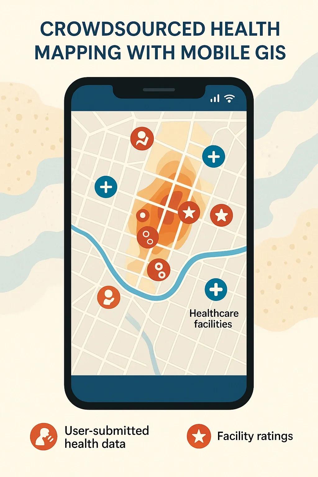
In the evolving landscape of public health, geographic information systems (GIS) have emerged as critical tools for monitoring, analyzing, and improving healthcare delivery. Traditionally, health mapping has relied heavily on institutional datasets and government-led surveys. However, with the proliferation of smartphones and location-aware devices, crowdsourced health mapping using mobile GIS is gaining traction as a powerful, bottom-up approach to identify gaps in healthcare services, particularly in underserved regions.
This article explores the technical framework, data workflows, applications, and challenges associated with crowdsourced health mapping and how mobile GIS enables real-time, scalable health intelligence from the ground up.
1. What Is Crowdsourced Health Mapping?
Crowdsourced health mapping involves collecting, validating, and analyzing health-related data contributed voluntarily by individuals, typically through mobile applications or web platforms. This includes information such as:
Symptoms reported by citizens
Locations of informal or unregistered health providers
Observations of health hazards (e.g., stagnant water, pollution)
Access to health services (e.g., distance to the nearest clinic)
These inputs, when geotagged and time-stamped via mobile GIS platforms, form an open, spatially-referenced dataset that complements official health records.
2. Role of Mobile GIS in Data Collection and Visualization
Mobile GIS refers to the use of GIS capabilities, such as spatial data capture, editing, and visualization, on handheld devices. Mobile GIS apps are key to enabling crowdsourced health mapping because they:
Use GPS sensors to geo-tag data submissions
Provide offline data capture in low-connectivity areas
Allow photo, audio, and text inputs for richer reporting
Enable real-time uploads to centralized health dashboards
Sync with web-based GIS platforms for visualization and analysis
Prominent mobile GIS platforms supporting such functionality include ArcGIS Field Maps, KoboToolbox, Maptionnaire, Survey123, and OpenDataKit (ODK).
3. Technical Workflow of Crowdsourced Health Mapping
The typical workflow for crowdsourced health mapping using mobile GIS includes the following components:
a. Citizen Interface (Frontend)
This is the app or mobile-friendly web form that citizens interact with. Key elements include:
Simple UI for symptoms or service reporting
Location auto-capture using phone GPS
Metadata tagging (age, gender, timestamp)
Optional multimedia uploads (e.g., photos of facilities)
b. Backend Data Infrastructure
This includes cloud-based servers and databases to store and organize the submissions. Components include:
Spatial databases (e.g., PostGIS, GeoServer)
Real-time data pipelines (e.g., using Firebase or AWS IoT)
Data validation algorithms to filter out spam or duplicates
c. GIS Platform and Dashboards
GIS platforms such as ArcGIS Online, QGIS, or Leaflet-based web maps are used to:
Aggregate spatial data into heatmaps or clusters
Overlay crowdsourced data with administrative boundaries or health facility locations
Perform spatial analysis (e.g., distance to nearest facility, service gaps)
4. Real-World Use Cases
Several governments and NGOs have adopted this approach for improving public health intelligence:
a. India's COVID-19 Self-Reporting Apps
During the pandemic, self-reporting platforms such as Aarogya Setu allowed citizens to report symptoms and receive alerts based on geolocation. These mobile GIS systems helped visualize real-time hotspots and predict outbreak zones.
b. Health Facility Mapping in Sub-Saharan Africa
In countries like Uganda and Tanzania, crowdsourcing has been used to map informal and private health facilities, many of which were absent in national registries. Mobile GIS tools enabled volunteers to collect and validate this data on-site.
c. Vector-Borne Disease Tracking
Apps have been used to report mosquito breeding grounds and stagnant water locations, which are then visualized using spatial heatmaps. These allow municipal bodies to target fogging or cleanup operations more effectively.
5. Applications in Health System Strengthening
Crowdsourced health mapping with mobile GIS has several practical applications:
a. Service Gap Identification
By overlaying patient-reported needs with health facility maps, authorities can identify areas underserved by clinics, pharmacies, or ambulances.
b. Health Behavior Analytics
Spatial patterns in self-reported symptoms or medication usage help in behavioral analysis for better intervention strategies.
c. Disaster and Outbreak Response
During epidemics or natural disasters, real-time citizen inputs enable faster triage, resource allocation, and outreach.
d. Community Feedback and Monitoring
Citizens can report poor-quality care or absent staff, which builds accountability and community participation in healthcare monitoring.
6. Challenges and Limitations
While powerful, crowdsourced health mapping faces several technical and ethical challenges:
a. Data Quality and Verification
Citizen-contributed data may be inaccurate, biased, or malicious. AI-based filtering and triangulation with official data sources is often needed.
b. Digital Divide
Access to smartphones, literacy, and digital skills vary across populations, potentially skewing the data.
c. Privacy and Data Protection
Handling health data, especially with geotags, raises serious privacy concerns. Compliance with local laws like India’s Digital Personal Data Protection Act (2023) is critical.
d. Sustained Engagement
Crowdsourcing models often face drop-offs in user engagement over time unless incentives or community feedback loops are integrated.
7. Enabling Technologies and Future Directions
To enhance the robustness and scale of crowdsourced health mapping, the following technologies are being integrated:
AI/ML for Pattern Detection : Algorithms can detect emerging trends or anomalies in reported data.
Blockchain for Data Integrity : Immutable records of submissions for audit and accountability.
Integration with Wearables : Automatic symptom data from fitness trackers can complement manual reports.
Language Localization : Mobile GIS apps with multi-language support increase inclusivity.
Looking ahead, hybrid data fusion models, combining satellite data, mobile GIS submissions, IoT health sensors, and official datasets, will provide richer, multilayered views of community health.
8. Conclusion
Crowdsourced health mapping using mobile GIS is an innovative approach that democratizes health intelligence. It empowers citizens to participate in public health monitoring and fills critical gaps left by top-down data collection mechanisms. When implemented responsibly, with appropriate safeguards and incentives, it can become a valuable tool for governments, NGOs, and researchers to identify service gaps, track health trends, and improve overall health equity.
In countries like India, where geographical and demographic diversity pose significant challenges to health infrastructure planning, the integration of crowdsourced spatial data with mobile GIS platforms could play a transformative role in achieving Universal Health Coverage (UHC).