In recent years, the intersection of geospatial analytics and artificial intelligence, often referred to as GeoAI, has opened new frontiers for understanding and mitigating complex real-world challenges. Among these, the field of crisis management stands out as a domain that can significantly benefit from the rapid advances in GeoAI and deep learning techniques. From natural disasters like earthquakes, hurricanes, and floods, to human-induced crises such as industrial accidents, terrorist attacks, and pandemics, the integration of geospatial data with robust machine learning algorithms has begun to revolutionize how organizations plan, respond, and recover. This article explores the evolving landscape of GeoAI and deep learning models in crisis management, illustrating how the fusion of high-resolution geospatial data, advanced computational models, and intelligent analytics is transforming the speed, accuracy, and effectiveness of emergency response operations.
Understanding GeoAI in the Context of Crisis Management
GeoAI is an umbrella term combining geographic information system (GIS) capabilities, remote sensing data, and artificial intelligence methodologies, particularly machine learning (ML) and deep learning. At its core, GeoAI leverages spatial data (e.g., satellite imagery, UAV-based aerial scans, LiDAR point clouds, and terrestrial sensor readings) and fuses it with predictive analytics to extract actionable insights. In crisis management, the utility of GeoAI emerges from its capacity to rapidly analyze complex geospatial patterns, detect anomalies, and identify vulnerable regions. For instance, by analyzing pre- and post-disaster satellite imagery, GeoAI can pinpoint collapsed infrastructures, flooded roads, or damaged utilities within hours, faster than manual inspection or traditional modeling techniques.
The Rise of Deep Learning Models in Geospatial Analytics
While conventional machine learning methods provided a good starting point for analyzing geospatial data, deep learning models have taken center stage due to their ability to ingest vast amounts of raw, unstructured data and automatically learn hierarchical representations. Convolutional Neural Networks (CNNs), for example, have become a staple in image analysis tasks. When applied to satellite and aerial imagery, CNNs can classify land cover, detect structural damage, identify displaced populations (e.g., by analyzing temporary shelters), and highlight evacuation routes. More advanced architectures, such as Recurrent Neural Networks (RNNs) and Transformer-based models, allow for the integration of temporal data streams, crucial in understanding the progression of an unfolding event. By tracking changes in the spatial distribution of critical assets (like hospitals, shelters, and infrastructure lifelines) over time, these deep learning models help crisis managers anticipate cascading failures and evolving threats.
Moreover, the development of cutting-edge networks like Generative Adversarial Networks (GANs) and Vision Transformers (ViTs) introduces more powerful capabilities. GANs, for example, can synthesize realistic imagery of potential future scenarios, aiding in risk assessment and scenario planning. Meanwhile, ViTs have shown promise in handling large-scale geospatial imagery with improved accuracy, given their flexibility in learning global relationships between image patches. Together, these models elevate the predictive power of GeoAI, enabling more nuanced decision-making under high uncertainty.
Data Sources and Integration Challenges
One of the primary strengths of GeoAI-driven crisis management lies in its ability to integrate data from diverse sources. Satellite imagery, both optical and radar-based, provides continuous coverage over broad regions. UAV-mounted cameras and LiDAR sensors offer granular, localized data on infrastructure, terrain, and human movement patterns. Ground-based IoT sensors, social media feeds, and open data platforms add complementary situational awareness. Integrating these heterogeneous data streams into a single analytics framework, however, poses significant challenges.
Data cleaning, normalization, and geo-referencing are essential steps to ensure that inputs can be meaningfully combined. Different sensor modalities may measure distinct features (e.g., spectral signatures vs. elevation changes), and aligning these data types often involves advanced data fusion techniques. Deep learning models must be carefully chosen or adapted to handle multi-modal inputs, potentially requiring specialized architectures that can jointly learn from images, text, and numerical signals. Advances in deep learning research, such as the development of multi-modal Transformers, are increasingly addressing these integration problems, streamlining the process of extracting actionable intelligence from a complex mosaic of geospatial data sources.
Real-World Applications in Disaster Response
The practical applications of GeoAI and deep learning models in crisis management are diverse and impactful. Consider the aftermath of a major earthquake: emergency responders need to locate collapsed buildings, identify blocked roadways, and find safe evacuation corridors. Conventional methods might involve sending field teams into potentially dangerous areas or relying on outdated cadastral maps. GeoAI, powered by deep learning image segmentation, can analyze post-disaster satellite images to highlight areas of extensive damage, suggest optimal drone flight paths for further inspection, and guide responders to areas of high vulnerability, within hours rather than days.
Similarly, during hurricanes and floods, GeoAI-powered flood prediction models, trained on historical rainfall, topography, and infrastructure resilience data, can forecast flood extents and potential impact zones. By comparing these predictions with real-time sensor inputs (like river gauge readings and radar rainfall estimates), deep learning models can update their projections on the fly. This dynamic situational awareness informs emergency managers about critical infrastructure at risk, such as hospitals and power plants, enabling preemptive actions like evacuation, resource allocation, and reinforcement of flood defenses.
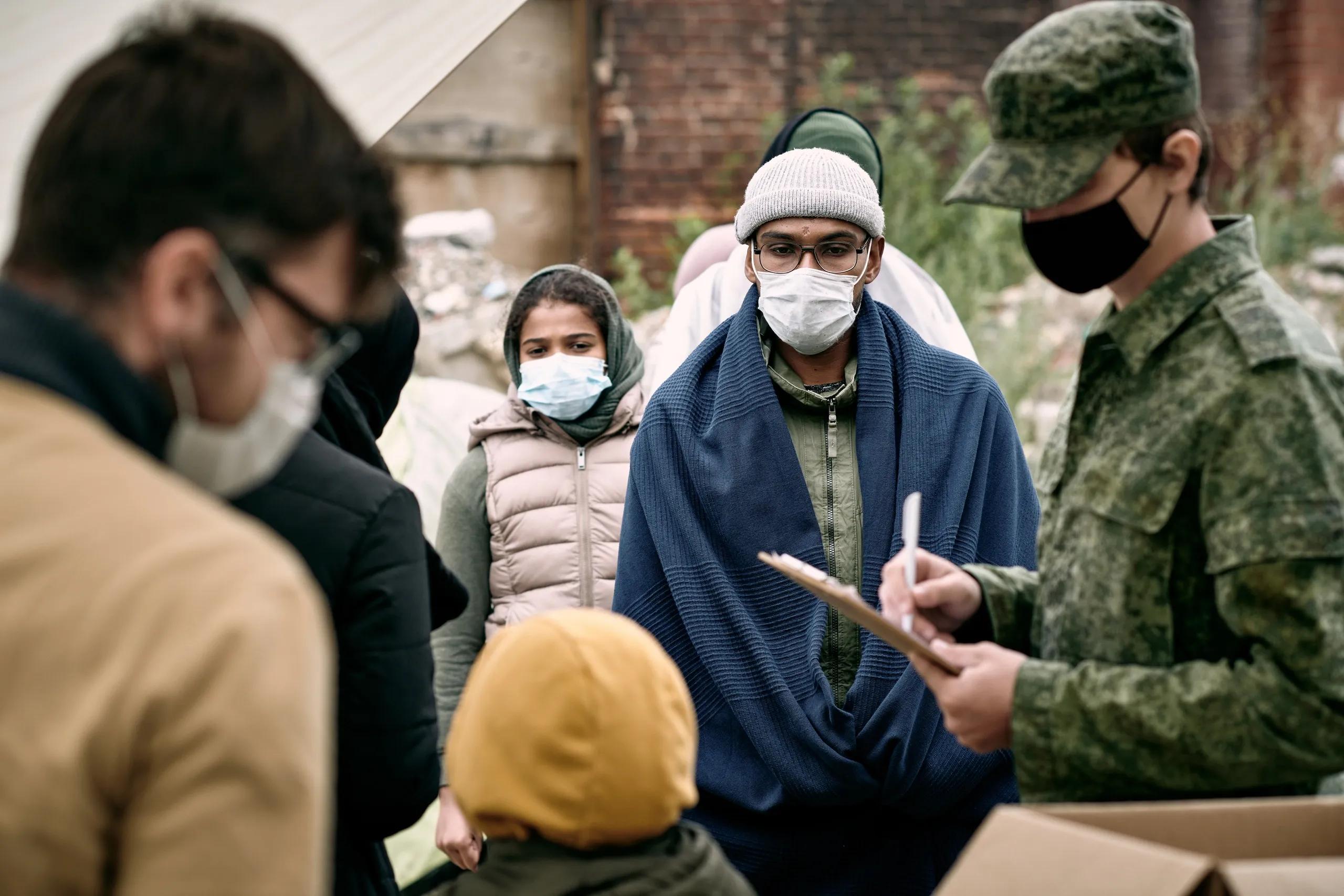
Another domain of interest is humanitarian aid in conflict zones. Identifying population movements, border crossings, and the establishment of temporary settlements is crucial for strategic relief planning. Deep learning models applied to remote sensing imagery can automatically detect the formation of refugee camps, count temporary shelters, and estimate resource needs. By understanding the spatial distribution of displaced populations, humanitarian agencies can direct aid more efficiently, reduce logistical bottlenecks, and minimize unnecessary duplication of relief efforts.
Enhancing Preparedness Through Predictive Analytics
Beyond immediate disaster response, GeoAI and deep learning also foster improved preparedness and resilience. Risk modeling frameworks powered by spatial AI can simulate various “what-if” scenarios. For example, by altering parameters like precipitation intensity, hurricane strength, or seismic magnitude, deep learning-driven simulations can forecast infrastructure stress points, highlight vulnerable supply chain nodes, and predict long-term environmental changes. Urban planners and policymakers can then use these predictive insights to reinforce critical facilities, design robust evacuation plans, and allocate resources where they will have the greatest impact over time.
In climate-change-related events, predictive GeoAI models can anticipate shifts in ecosystem boundaries, assess the vulnerability of coastal communities to sea-level rise, and guide the placement of storm surge defenses. By integrating long-term climate forecasts with real-time sensor data, these models create a holistic understanding of evolving hazards. Over time, this knowledge base helps develop adaptive strategies, such as building flood-resilient infrastructure or designing more flexible distribution networks for emergency supplies.
Ethical, Privacy, and Regulatory Considerations
While the benefits of GeoAI and deep learning in crisis management are evident, it is crucial to address associated ethical, privacy, and regulatory challenges. The deployment of advanced analytics in high-stakes scenarios may involve sensitive data, such as population movements, critical infrastructure locations, and personal communications. Ensuring that data handling respects privacy regulations and human rights standards is paramount. Moreover, the interpretability of deep learning models remains a concern, as black-box algorithms can be difficult to explain to policymakers, responders, and affected communities. Developing explainable AI methods that reveal the reasoning behind model decisions is an active research area, aiming to build trust and accountability into crisis management workflows.
Furthermore, the risk of technology misuse cannot be ignored. Malicious actors could potentially exploit GeoAI capabilities for strategic advantage, undermining humanitarian efforts or facilitating targeted attacks. As a result, international standards and robust frameworks for data governance, model validation, and responsible AI adoption must guide the integration of these tools into crisis management strategies.
The Road Ahead
The convergence of GeoAI and deep learning marks a pivotal moment in the evolution of crisis management. As computational resources become more accessible, algorithms more sophisticated, and data more abundant, the potential for smarter, faster, and more efficient emergency response continues to grow. Future research will likely focus on refining models for higher accuracy, reducing training overhead through transfer learning and domain adaptation, and creating frameworks that simplify multi-modal data integration.
In addition, the rise of edge computing and IoT devices promises to push processing capabilities closer to the data source. This shift could enable near-real-time analytics in remote or disaster-prone areas, reducing reliance on centralized cloud infrastructures. Combined with improved explainability and better adherence to ethical norms, the next generation of GeoAI systems will be poised to foster a more resilient and responsive approach to crisis management, one in which actionable intelligence guides humanitarian relief, infrastructure protection, and community preparedness, ultimately saving lives and livelihoods in the face of adversity.