Climate risk is not theoretical
Climate risk is no longer a sustainability discussion.
It is a capital stability discussion.
Flood intensity is increasing in specific basins.
Heat stress is rising in defined corridors.
Water scarcity is intensifying in identifiable regions.
Climate volatility is geographically uneven.
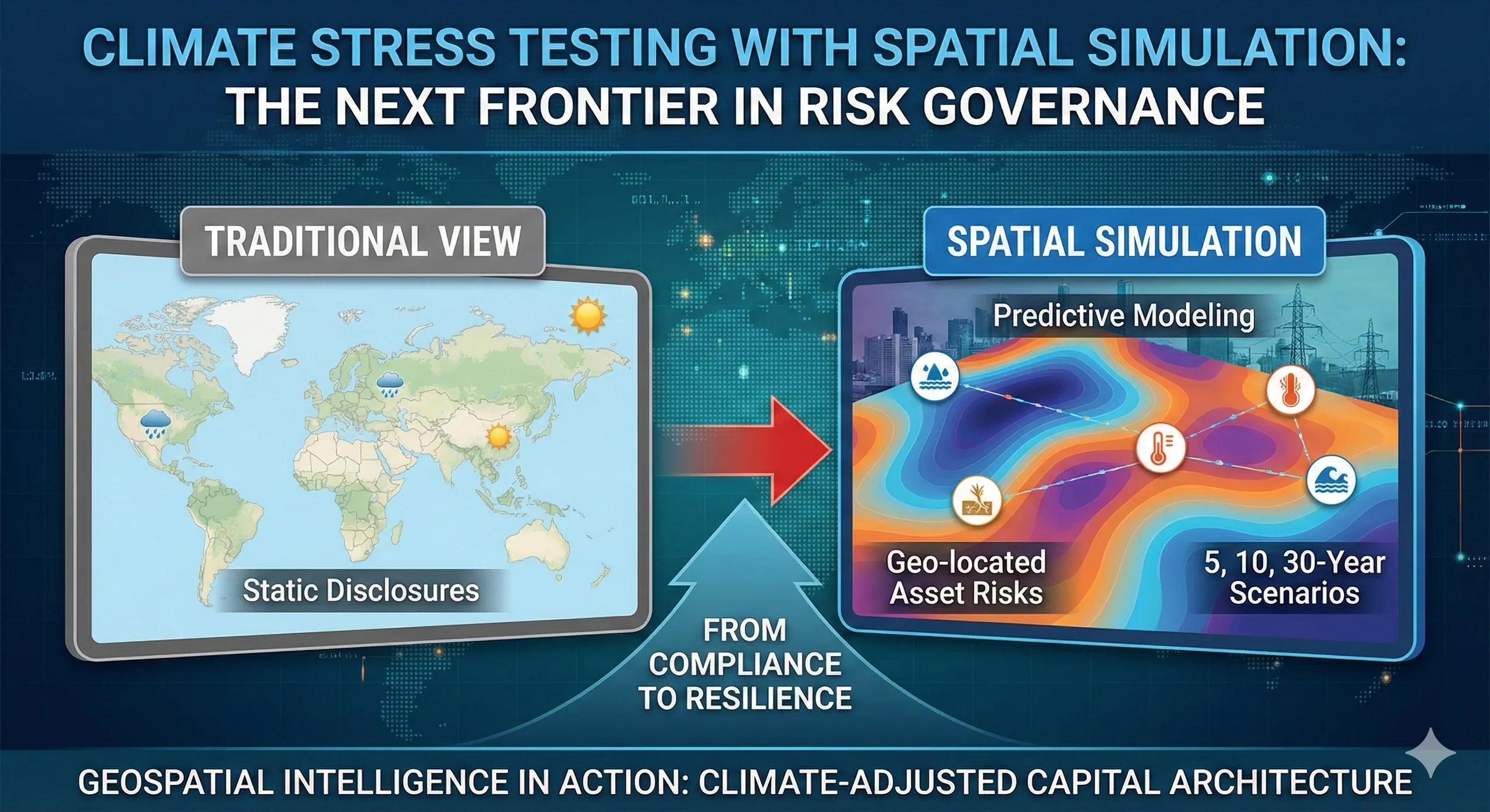
Yet many enterprises still evaluate climate exposure using static disclosures rather than spatial simulation.
That gap will define resilience over the next decade.
What is climate stress testing?
Climate stress testing evaluates how assets and portfolios perform under projected climate scenarios.
Traditionally, this has been modeled financially.
But climate does not affect balance sheets directly.
It affects locations.
Spatial climate stress testing integrates:
Flood risk overlays
Heat intensity projections
Drought probability models
Sea-level rise mapping
Infrastructure vulnerability layers
It answers one critical question:
What happens to our capital base under geographic climate stress?
Why simulation matters
Historical risk registers are backward-looking.
Climate volatility is forward-looking.
Spatial simulation allows organizations to:
Model asset performance under 5, 10, and 30-year climate scenarios
Identify correlated geographic exposure
Quantify reinforcement costs
Re-sequence capital investment proactively
Without simulation, climate governance remains descriptive.
With simulation, it becomes predictive.
A practical scenario
Consider a national infrastructure enterprise with 30% of its substations located in flood-prone zones.
Traditional view:
Flood events historically manageable
Spatial simulation reveals:
20-year flood frequency increasing by 40%
Critical corridor vulnerability compounding
Reinforcement cost doubling if delayed
Capital sequencing changes immediately.
The asset base hasn’t changed.
The geographic future has.
From ESG compliance to risk governance
Many organizations treat climate exposure as ESG disclosure.
But regulators and investors increasingly demand:
Scenario-based modeling
Quantified vulnerability
Capital resilience plans
Geographic transparency
Climate stress testing shifts the conversation from reporting to preparedness.
What changes in boardrooms
When spatial climate simulations are presented:
Capital planning becomes resilience planning
Insurance negotiations gain evidence
Portfolio diversification becomes strategic
Risk committees adopt geographic thresholds
Boards stop asking:
“Are we compliant?”
They start asking:
“Are we resilient?”
Structural requirements
For climate stress testing to be credible, organizations must:
Maintain accurate geolocated asset registries
Integrate climate projection datasets
Standardize vulnerability scoring
Connect simulation outputs to capital planning workflows
Document scenario assumptions
Without disciplined data governance, simulation creates noise.
Foundation precedes forecasting.
The monetization bridge
As climate volatility intensifies, enterprises increasingly seek structured spatial simulation frameworks and scalable geospatial platforms that integrate climate scenarios directly into risk governance, capital sequencing, and board-level reporting. The shift is from climate awareness to climate-adjusted capital architecture.
Why this is the next frontier
Climate risk will not distribute evenly.
Some portfolios will absorb compounding geographic exposure.
Others will reallocate early and strengthen resilience.
The differentiator will not be awareness.
It will be simulation discipline.
Looking ahead
In the coming decade:
Climate-adjusted asset exposure will influence valuation
Geographic stress testing will enter regulatory scrutiny
Investors will compare resilience profiles
Insurance premiums will reflect spatial modeling maturity
Climate governance will become spatial governance.
Closing insight
Climate volatility is geographic.
Resilience must be modeled geographically.
The enterprises that simulate their exposure before it materializes will convert uncertainty into advantage.