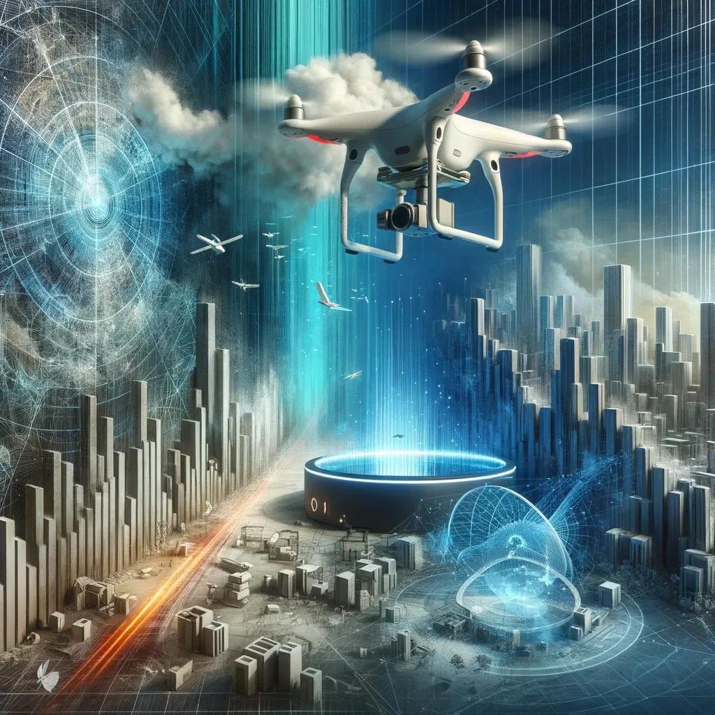
In the dynamic field of the built environment, the advent of drones, 3D scanners, and geospatial technology has heralded a new era of innovation and efficiency. However, these advancements come with their own set of challenges that need to be navigated carefully. This article delves into the various technological, regulatory, legal, social, and ethical challenges associated with these technologies, underscoring the need for a balanced approach to harness their full potential.
Technological Challenges
Cost
The high cost of drones and 3D scanners, particularly the advanced models boasting state-of-the-art features, poses a significant barrier. This financial constraint limits the accessibility of these technologies, especially for smaller companies and in developing countries. It's imperative to find a balance between affordability and functionality to make these tools more universally accessible.
Data Processing and Analysis
The sheer volume of data generated by these technologies is staggering. Processing and analyzing this data demands sophisticated software and a high level of expertise. This requirement for advanced analytical skills and software can create a gap in utilization, especially in scenarios where resources are limited.
Battery Life and Range
One of the practical limitations of drones is their battery life, which dictates flight time. Additionally, their operational range can be hampered by signal interference and regulatory constraints. These limitations can restrict the use of drones in extensive or remote surveying projects.
Sensor Accuracy and Limitations
The resolution and limitations of different sensors vary, necessitating a careful selection process tailored to specific applications. Choosing the right sensor is crucial for accurate data collection and analysis, especially in complex environments.
Integration with Existing Workflows
Incorporating drones, 3D scanners, and geospatial technology into existing workflows presents a significant challenge. It requires not only training but also an adaptation of existing processes and decision-making protocols.
Regulatory and Legal Challenges
Air Traffic Control and Safety Regulations
Drones operate in an airspace that is tightly regulated. These regulations, which cover aspects such as flight paths and safety concerns regarding manned aircraft and ground safety, pose a significant operational hurdle. Ensuring compliance while maintaining operational efficiency is a delicate balance.
Privacy Concerns
The use of drones and cameras for data collection raises serious privacy concerns. This necessitates the establishment of clear regulations and responsible usage guidelines to protect individual privacy rights while leveraging the benefits of these technologies.
Data Ownership and Security
The question of who owns and controls the data collected by these technologies is crucial. Ensuring data security and protecting it from unauthorized access or misuse is equally important, given the sensitive nature of the information collected.
Liability and Insurance
The legal liability issues related to accidents or damages caused by drone operations are still evolving. Establishing clear insurance and risk mitigation frameworks is essential to addressing these challenges.
Social and Ethical Challenges
Public Perception and Acceptance
Public concerns about issues like drone noise, privacy invasion, and potential misuse can lead to resistance against these technologies. Gaining public trust and acceptance is crucial for the broader adoption and success of these innovations.
Job Displacement
The automation capabilities of drones and robotic applications pose a threat to certain job sectors. Addressing this issue requires proactive strategies, such as workforce training and reskilling initiatives, to mitigate the impact of job displacement.
Ethical Considerations
The potential use of these technologies for surveillance or military purposes raises serious ethical concerns. It is essential to engage in careful consideration and public discourse to navigate these ethical dilemmas responsibly.
In conclusion, the challenges presented by drones, 3D scanners, and geospatial technology in the built environment are multi-faceted and require a collaborative approach for resolution. Governments, technology developers, industry stakeholders, and the public must work together to develop responsible technologies, establish clear regulations, and engage in meaningful public dialogue. Such collaborative efforts are vital for unlocking the full potential of these technologies, thereby contributing to a more sustainable, efficient, and resilient built environment. This journey, although fraught with challenges, is one that holds immense promise for the future of urban and rural development, offering innovative solutions to some of the most pressing issues in the built environment today.