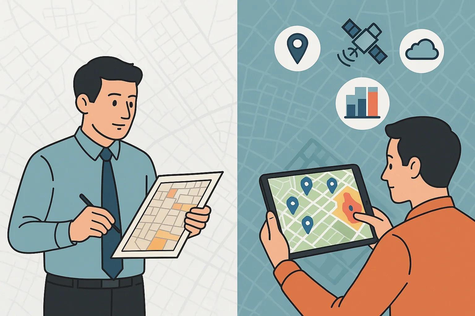
As India prepares for Census 2027, a significant transformation is underway, this will be the first fully digital census in the country’s history. Moving beyond paper forms and traditional field surveys, the government is embracing geospatial technology to enhance the accuracy, efficiency, and utility of population data. The shift holds immense promise: not only will it modernize data collection, but it will also redefine how demographic patterns are analyzed, visualized, and used for policymaking.
This article explores the critical role of geospatial technology in Census 2027, the key components involved, and the expected impact on governance, planning, and socio-economic development.
1. Background: The Need for a Digital and Geospatial Census
Traditional census exercises, while exhaustive, have limitations in spatial resolution, timeliness, and interoperability. Data is often siloed and lacks spatial context, making it difficult to use in urban planning, disaster management, or public health.
Census 2027 aims to overcome these limitations by integrating:
Digital enumeration tools via mobile apps,
Geotagged address canvassing , and
GIS-based dashboards to visualize and analyze the data in real time.
This shift will align with global trends where countries are using geospatial intelligence to enhance census operations. Examples include the US Census Bureau’s Master Address File and the use of satellite imagery in Nigeria’s enumeration process.
2. Core Components of Geospatial Integration in Census 2027
a. Digital Mapping of Enumeration Blocks
Each enumeration block (EB), the smallest census unit, will be mapped using high-resolution satellite imagery, GPS tagging, and spatial boundary digitization. This allows for:
Precise boundary delineation,
Elimination of overlaps and omissions, and
Easy visualization of demographic clusters.
b. Geotagged Housing and Building Listings
The house-listing phase will geo-tag every structure with location metadata. The advantages include:
Improved enumeration accuracy,
Linking household data to spatial features (e.g., slums, flood zones), and
Better integration with municipal records or land-use data.
c. Mobile App with GIS Integration
Enumerators will use tablets or mobile devices loaded with a Census Mapping App. Features include:
Real-time GPS validation of survey locations,
Offline data capture with auto-sync capabilities,
Error reduction through geospatial cross-checking.
d. National Geo-Spatial Data Repository
A central geospatial platform will host:
All spatial census datasets,
Dashboards for district and state administrators, and
APIs for integration with welfare schemes, health systems, and urban development tools.
3. Advantages of Using Geospatial Technology
a. Higher Accuracy and Coverage
Mapping tools reduce human error in manual entries and ensure better inclusion of remote or informal settlements. Misclassified or undercounted populations can be visualized and corrected early in the enumeration cycle.
b. Real-Time Monitoring and Decision Support
Supervisors can track enumerators' field activity through geo-fencing and timestamping, ensuring better accountability and faster issue resolution.
c. Spatial Analytics for Targeted Policy
With demographic data layered on maps, policymakers can derive insights such as:
Population density by urban block,
Migration hotspots,
Areas with poor access to health or education.
This enables evidence-based resource allocation and geo-targeted welfare delivery.
d. Improved Disaster Preparedness
Geo-tagged population data is critical for disaster-prone regions. Governments can estimate evacuation needs, shelter locations, and plan emergency responses with greater accuracy.
4. Challenges and Mitigation Strategies
Challenge - Mitigation Strategy
Privacy concerns over geotagged data - Implement privacy-by-design protocols and adhere to Digital Personal Data Protection Act
Technical training for field staff - Conduct nationwide training and pilot runs with simulation tools
Connectivity issues in rural regions - Use offline-first applications with data sync capabilities
Integration with legacy systems - Adopt open data standards and build scalable APIs for interoperability
5. Use Cases Beyond Enumeration
Once the spatial census data is collected, it can serve as a foundational layer for:
a. Urban and Regional Planning
Urban local bodies can use demographic heatmaps to:
Identify high-growth zones,
Plan infrastructure expansion,
Predict slum formation or urban sprawl.
b. Education and Healthcare
State departments can layer census data with school or hospital GIS layers to:
Detect service gaps,
Estimate future demand, and
Monitor child and maternal health trends geographically.
c. Smart Governance and e-Governance
Smart cities can integrate census layers with smart grids, sanitation maps, and traffic management systems. For instance, a city dashboard could correlate population density with waste management issues to optimize route planning.
6. Collaborative Role of Public and Private Sector
Government agencies like the Office of the Registrar General and Census Commissioner are working closely with:
National Remote Sensing Centre (NRSC) for satellite imagery,
Survey of India for base maps, and
Private GIS vendors and startups for software tools and analytics.
This public-private model ensures innovation at scale and promotes the adoption of the latest technologies such as:
AI-enabled feature extraction from satellite images,
Drone-based mapping in inaccessible regions,
Real-time dashboards using cloud-hosted GIS platforms.
7. International Lessons and India’s Global Positioning
Several countries have already deployed geospatial census systems:
Ghana used satellite-based dwelling counts for its 2021 census.
Indonesia introduced interactive digital maps accessible to the public.
UK developed a multi-layered spatial demographic tool for local authorities.
India’s adoption of this model at scale will not only enhance internal governance but will also position it as a global leader in population data infrastructure. This is especially critical in the context of Sustainable Development Goals (SDGs), where disaggregated data is key to tracking progress.
8. Way Forward: Building a Spatially-Aware Data Ecosystem
Census 2027 is not just a one-time exercise but a step toward an integrated geospatial data ecosystem. The goal should be to maintain and update spatial demographic data through:
Continuous monitoring via satellite and drone feeds,
Integration with Aadhaar, health IDs, and education databases (with privacy safeguards),
Periodic micro-censuses to update fast-changing regions like urban slums or industrial corridors.
In the long term, a Geospatial Census Platform can evolve into a national decision support system, fueling everything from rural electrification to pandemic response planning.
Conclusion
Census 2027 marks a turning point in India’s demographic data journey. With the integration of geospatial technology, the census will no longer be just a count, it will be a dynamic map of the nation’s people. Accurate, real-time, and spatially contextualized, this data will empower governments, businesses, researchers, and citizens alike to make smarter, more inclusive decisions.
The future of demographic intelligence is spatial, and India is setting the stage for a data-driven, map-enabled governance model.