Insight without measurement
Most organizations agree that better decisions create value.
But when budgets are reviewed, one question always surfaces:
What is the measurable return?
Geospatial intelligence often delivers clearer decisions, reduced risk, and smarter planning. Yet many initiatives struggle, not because they lack impact, but because they lack financial articulation.
If value cannot be quantified, it rarely scales.
The real decision behind ROI
Executives don’t fund technology.
They fund outcomes.
When evaluating geospatial initiatives, leadership typically asks:
Does this reduce capital risk?
Does it improve asset performance?
Does it accelerate revenue growth?
Does it lower operational cost?
Does it strengthen compliance posture?
The challenge is not proving that maps are useful.
It is linking spatial intelligence directly to financial variables.
Why ROI in geospatial is often misunderstood
Many teams attempt to justify geospatial tools by counting:
Users
Maps produced
Data layers integrated
Reports generated
These are activity metrics, not value metrics.
True ROI emerges when spatial intelligence changes decisions that influence:
Capital allocation
Asset lifespan
Service efficiency
Risk exposure
Market expansion
The value is indirect, but measurable.
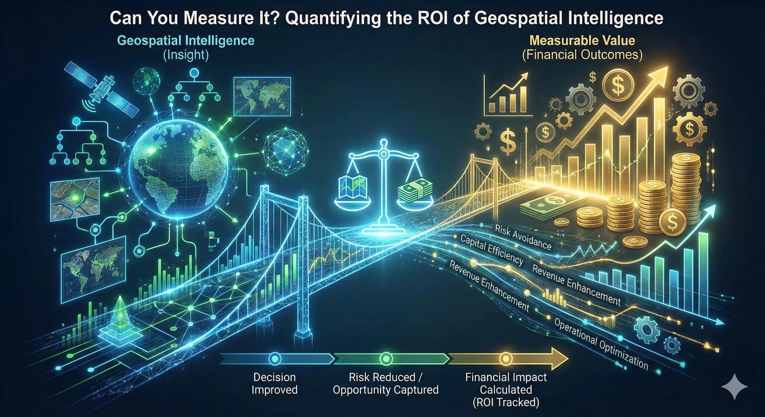
From insight to financial value: the ROI flow
A structured approach to measuring geospatial ROI often follows:
Decision improved → Risk reduced / Opportunity captured → Financial impact calculated → ROI tracked
For example:
Avoided flood damage due to better site selection
Reduced outage time from smarter prioritization
Faster break-even from optimized expansion
Lower emergency repair cost from risk mapping
Higher utilization from service gap identification
Each of these has a financial footprint.
A practical scenario
Consider an infrastructure firm using spatial prioritization for asset upgrades.
Without geospatial analysis, upgrades follow age-based scheduling.
With impact-based spatial scoring:
High-risk assets serving dense zones are prioritized
Low-impact assets are deferred
Within two years:
Emergency repairs drop
Service disruption penalties reduce
Maintenance budgets stabilize
The ROI isn’t from buying software.
It’s from avoiding cascading failures.
Financial dimensions of geospatial value
Geospatial intelligence typically drives value across four dimensions:
1. Risk Avoidance Reduced damage, downtime, penalties.
2. Capital Efficiency Better investment targeting and prioritization.
3. Revenue Enhancement Improved expansion accuracy and demand alignment.
4. Operational Optimization Smarter workforce deployment and asset management.
When framed across these categories, ROI becomes defensible.
Where ROI measurement often fails
Common gaps include:
No baseline metrics before implementation
Treating geospatial as a support function rather than decision infrastructure
Failing to track decisions influenced by spatial analysis
Lack of cross-department financial mapping
If ROI isn’t structured into the program from the beginning, impact remains anecdotal.
Scaling ROI into governance
Leading organizations embed geospatial KPIs into:
Capital budgeting frameworks
Risk registers
ESG disclosures
Asset performance scorecards
Board-level reporting
When spatial impact aligns with financial metrics, initiatives move from pilot to enterprise adoption.
Geospatial intelligence stops being experimental.
It becomes strategic infrastructure.
The monetization bridge
As enterprises mature, they increasingly seek structured advisory frameworks and scalable spatial decision platforms that not only generate insight, but track measurable financial outcomes tied to capital allocation, risk mitigation, and performance improvement. The real differentiator is not analysis. It is accountability.
Looking ahead
With AI-driven analytics and integrated digital twins, geospatial ROI will become easier to quantify through automated impact tracking and predictive modeling.
Future board discussions may not ask:
“Do we need geospatial?”
They may ask:
“How are we measuring its contribution to enterprise value?”
Closing insight
The return on geospatial intelligence is not in the map.
It is in the decision it changes, and the cost it prevents.