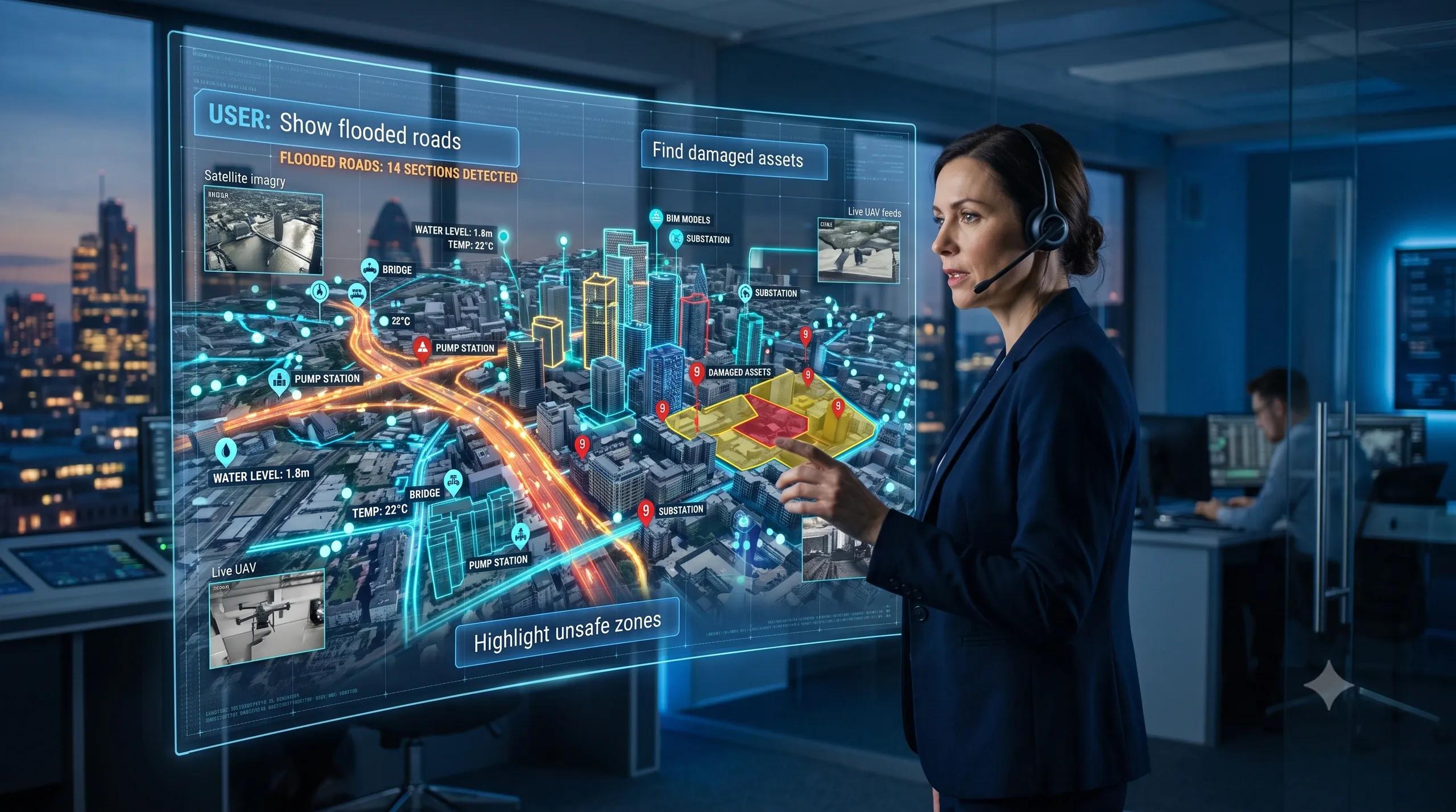
For decades, geospatial work has depended on skilled users knowing how to ask the right question in the right technical language.
They had to know which layer to open, which attribute table to query, which satellite band to compare, which model to inspect, which dashboard to interpret, and which tool to use.
That is changing.
The next shift in geospatial intelligence may not be about higher resolution imagery, more sensors, or better 3D visualization.
It may be about something much simpler:
Asking a question.
“Show me the flooded roads.”
“Find all blocked access points near this warehouse.”
“Which assets look damaged after the storm?”
“Highlight all vehicles parked in restricted zones.”
“Where are the risky structures inside this 3D twin?”
“Which part of this industrial site needs inspection first?”
This is where language-grounded spatial AI begins to change the workflow.
It brings natural language, visual understanding, geospatial context, and operational reasoning into one loop.
The map is no longer only something we view.
The twin is no longer only something we rotate.
They are becoming interfaces we can question.
From Layers to Language
Traditional geospatial workflows are powerful, but they are still largely expert-driven.
A GIS analyst understands layers, coordinate systems, buffers, classifications, topology, raster analysis, and spatial joins. A remote sensing specialist understands image bands, signatures, change detection, and classification models. A BIM or digital twin specialist understands objects, geometry, asset hierarchies, and model federation.
But a business user does not always think that way.
An operations head does not ask, “Can you run a spatial query against the classified road network intersecting the flood extent polygon?”
They ask, “Which roads are blocked and which routes are still usable?”
A warehouse manager does not ask, “Can you segment all relevant 3D objects inside this reconstructed point cloud or Gaussian scene?”
They ask, “Where are the obstructions, damaged racks, and unsafe zones?”
This difference matters.
The future of spatial intelligence is not only about generating more data. It is about making spatial systems understand operational language.
That is why language-grounded spatial AI is important.
It allows users to interact with maps, satellite imagery, UAV footage, inspection images, 3D models, and digital twins through intent-based questions.
The system does not just retrieve data.
It interprets what the user is trying to know.
“Ask the Map” Is Becoming Real
Remote sensing has already moved through several stages.
First, we used satellite imagery mainly for visual interpretation.
Then came classification: land use, land cover, vegetation, water bodies, roads, buildings, and change detection.
Then came AI-based object detection: ships, vehicles, rooftops, solar panels, construction activity, crop stress, flood extents, and damaged structures.
Now, the workflow is moving toward visual grounding.
That means a user can describe what they are looking for, and the system can identify the relevant objects or regions in the image.
This is a major shift.
Instead of training every workflow around fixed classes, future systems will understand more flexible language prompts.
“Find temporary shelters near the river.”
“Show all construction activity within 500 meters of the highway.”
“Identify warehouses with possible roof damage.”
“Locate standing water near industrial facilities.”
This can change disaster response, urban monitoring, agriculture, infrastructure inspection, logistics, defense, and climate risk assessment.
The map becomes searchable by meaning.
Not only by coordinates.
Not only by attributes.
Not only by pre-defined categories.
By language.
“Ask the Twin” Is the Next Step
The same shift is coming to 3D digital twins.
Until now, many digital twins have been treated as visual environments. They are impressive to look at, but often limited in operational use.
A 3D twin becomes much more valuable when it can answer practical questions.
“Where are the pipes connected to this equipment?”
“Which doors are blocked?”
“Which assets are missing labels?”
“Which objects are close to a safety hazard?”
“Show all damaged surfaces detected in the latest inspection.”
“Compare today’s site condition with last week’s capture.”
This is where language-queryable 3D segmentation, scene graphs, and 3D Gaussian Splatting become important.
A 3D twin should not only contain geometry.
It should understand objects.
It should understand relationships.
It should understand context.
A wall is not only a surface.
A pipe is not only a cylinder.
A rack is not only geometry.
A vehicle is not only a detected object.
Each one has meaning in a workflow.
When language-grounded AI is connected to 3D spatial data, the twin can start answering questions in the language of operations, not only in the language of modeling.
That is when a digital twin moves from visualization to decision support.
Why This Matters for Business Workflows
The biggest value of language-grounded spatial AI is not convenience.
It is speed, accessibility, and decision clarity.
Today, many organizations have spatial data, but only a small group of experts can use it deeply. Satellite imagery sits in one system. UAV footage sits in another. BIM models sit with the project team. IoT data sits in dashboards. Asset records sit in ERP or maintenance systems. Inspection photos sit in folders.
The result is fragmentation.
Language-grounded spatial AI can become the bridge.
A project manager can ask questions across imagery, models, and asset records.
A city officer can ask what changed after rainfall.
A utility manager can ask which corridor needs inspection.
A warehouse head can ask where safety risks are emerging.
An agriculture team can ask which fields show stress and why.
A construction leader can ask which parts of the site are behind schedule.
The interface becomes simpler, but the intelligence behind it becomes deeper.
That is the real transformation.
Not replacing experts.
Expanding access to spatial intelligence.
Experts will still define the data architecture, validate outputs, manage accuracy, design workflows, and govern risk. But non-technical users will be able to ask better questions and receive faster spatial answers.
The Workflow Will Change
The old workflow looked like this:
Collect data → process data → analyze data → prepare map → share report → wait for decision.
The new workflow is moving toward this:
Capture data → ground it spatially → connect it semantically → ask questions → validate results → trigger action.
This is a very different model.
It means GIS, remote sensing, BIM, UAVs, IoT, AI, and digital twins can no longer remain separate technical islands.
They need to work as one intelligence stack.
A satellite image may show flood extent.
A UAV may confirm ground-level blockage.
A 3D twin may show affected assets.
IoT sensors may show live conditions.
An AI model may explain the anomaly.
An operations dashboard may convert the result into an action.
The user may simply ask:
“What should we inspect first?”
That question requires spatial context, temporal context, asset context, and operational context.
This is why geospatial intelligence is becoming more than mapping.
It is becoming an operating layer for decisions.
The Risk: Confident Answers Without Ground Truth
There is also a serious caution.
When maps and twins become conversational, users may trust the answer too quickly.
That can be dangerous.
A language-based interface must not hide uncertainty. It must show evidence, source data, confidence, time of capture, spatial accuracy, and limitations.
If the system says, “This road appears blocked,” the user should know whether that answer came from satellite imagery, UAV footage, sensor data, field reports, or a combination of sources.
If the twin says, “This asset may be damaged,” the user should know what image, model, inspection record, or anomaly signal supports that conclusion.
In operational environments, answers must be traceable.
A smart map without evidence is a risk.
A digital twin without data lineage is only a visual model.
Language-grounded spatial AI must therefore be built with governance from the beginning.
Not just prompts.
Not just dashboards.
Not just impressive demos.
It needs validation, auditability, role-based access, human review, and connection to real workflows.
What Leaders Should Start Asking
For business leaders, the question is not whether this technology is interesting.
The question is whether their organization is ready for it.
Can your spatial data be searched meaningfully?
Are your maps connected to asset records?
Are your BIM models linked to operations?
Can your UAV data be compared with satellite data?
Can your inspection images generate explainable reports?
Can your digital twin answer business questions?
Can your teams trust where the answer came from?
These are readiness questions.
Because “Ask the Map” and “Ask the Twin” will only work when the underlying data is structured, connected, governed, and current.
Without that foundation, natural language becomes only a new front-end for old fragmentation.
With the right foundation, it becomes a decision interface.
Closing Thought
The next leap in geospatial intelligence is not just higher resolution.
It is not just faster capture.
It is not just better visualization.
It is the ability to ask spatial systems operational questions and receive grounded, traceable, actionable answers.
That is where maps, digital twins, AI, and enterprise workflows are heading.
The map will not disappear.
The dashboard will not disappear.
The digital twin will not disappear.
But the way people interact with them will change.
They will ask.
The system will reason.
The workflow will respond.
And the organizations that prepare now will move faster from spatial data to spatial decisions.
At BSMA, this is exactly the direction we see for geospatial transformation: connecting maps, BIM, UAVs, IoT, AI, and digital twins into practical workflows that help organizations move from visibility to action.
Because the future of geospatial intelligence is not only about seeing the world better.
It is about asking better questions of the world and acting with confidence.