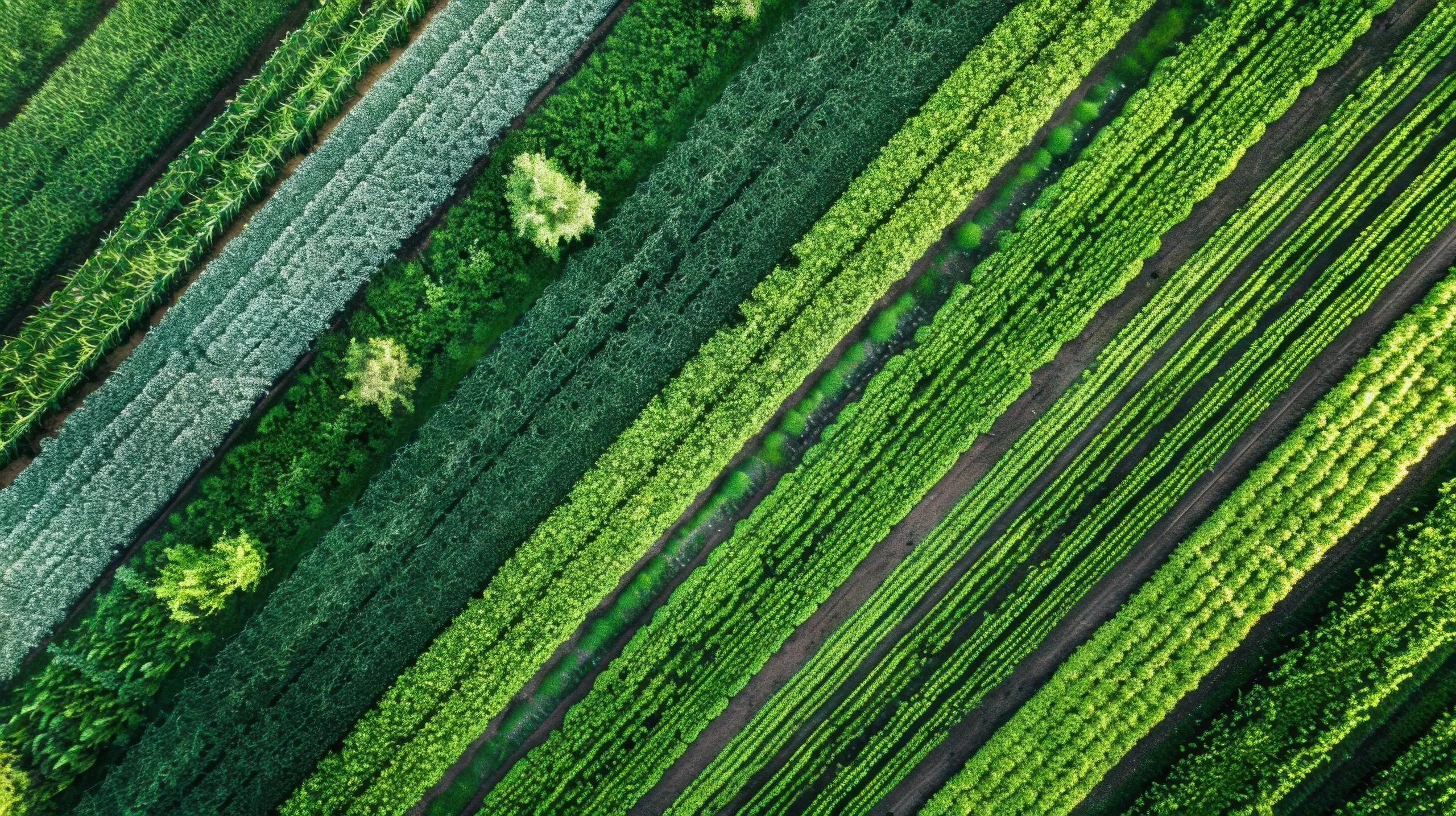
In recent years, the convergence of Artificial Intelligence (AI) and remote sensing has ushered in a new era for resource management, especially in industries like agriculture, forestry, and mining. Remote sensing offers a robust method for acquiring data about Earth’s surface from aerial or satellite platforms, capturing essential information about landscapes, ecosystems, and resources. The infusion of AI amplifies the analytical capacity of this data, enabling more accurate, faster, and actionable insights. This synergy not only supports sustainable practices but also drives operational efficiency and precision in resource management. Below, we explore how AI is reshaping remote sensing applications across key sectors.
1. How AI Enhances Remote Sensing for Resource Management
Traditional remote sensing methods involve extensive manual processing and analysis to interpret satellite images, LiDAR data, or multispectral imagery. This process, though insightful, can be time-consuming and may lack the precision needed for nuanced decision-making. Here is where AI, particularly machine learning (ML) and deep learning (DL), steps in. By integrating AI algorithms, remote sensing systems can automate data interpretation, recognize complex patterns, and provide insights with greater accuracy and in less time.
Data Processing Efficiency : AI algorithms can process massive amounts of data in real time. For instance, supervised ML models can be trained on large datasets to recognize specific patterns, such as crop health or mineral deposits, that human analysts might overlook.
Predictive Modeling : By learning from historical data, AI can predict trends in natural resource availability, allowing industries to plan for fluctuations in resource supply and demand, aiding in efficient resource management.
Object Detection and Classification : Using convolutional neural networks (CNNs), AI can classify objects and detect changes in remote sensing images at a highly granular level, making it an invaluable tool in monitoring resource usage and potential environmental impacts.
2. AI and Remote Sensing in Agriculture
In agriculture, effective resource management is essential to ensure optimal yield while minimizing the impact on the environment. Remote sensing has long provided valuable data on crop health, soil conditions, and climate patterns. However, with the integration of AI, remote sensing can elevate agricultural management by providing farmers and agribusinesses with real-time, actionable insights.
a) Crop Health Monitoring and Yield Prediction
AI-powered remote sensing can monitor crop health using multispectral and hyperspectral imaging, which detects wavelengths outside the visible spectrum, such as infrared. AI algorithms analyze this data to detect subtle changes in vegetation, often invisible to the human eye. These changes could indicate plant stress due to pests, disease, or nutrient deficiencies. Furthermore, machine learning models can forecast crop yields based on historical data and current conditions, enabling better resource allocation and harvest planning.
b) Precision Agriculture
AI-driven remote sensing facilitates precision agriculture, allowing farmers to apply water, fertilizers, and pesticides only where needed, thus conserving resources and reducing environmental impact. For instance, AI algorithms analyze soil moisture levels detected by remote sensors, providing guidance on optimal irrigation scheduling. This targeted approach not only saves water but also improves crop yield by ensuring that each area receives the necessary resources without overuse.
c) Pest and Disease Detection
Early detection of pests and diseases is crucial in agriculture. AI models trained on historical imagery and current multispectral data can identify patterns associated with pest infestations or diseases. Once a potential threat is detected, farmers can take preventive action, reducing the need for chemical interventions. This proactive approach minimizes crop loss and supports sustainable farming practices.
3. AI and Remote Sensing in Forestry
Forests play a vital role in the global ecosystem, acting as carbon sinks, preserving biodiversity, and providing raw materials. However, they are increasingly threatened by deforestation, climate change, and illegal logging. AI-powered remote sensing technologies enable efficient monitoring and management of forest resources, contributing to conservation efforts and sustainable forestry.
a) Deforestation and Degradation Detection
With AI and satellite imagery, forest authorities can monitor large, forested areas for signs of deforestation and degradation in real time. Deep learning algorithms can automatically detect changes in land cover by comparing historical and current images, identifying areas that have been cleared or degraded. This information is essential for enforcing anti-deforestation laws and managing forest resources sustainably.
b) Biodiversity and Wildlife Habitat Monitoring
Forests are home to diverse flora and fauna. Using AI in remote sensing allows scientists to monitor changes in biodiversity and wildlife habitats. For instance, image classification algorithms can identify different tree species and monitor their health, while movement patterns of large animal populations can be observed using satellite imagery. AI models trained on these datasets can predict habitat loss and recommend interventions to preserve biodiversity.
c) Carbon Stock Estimation and Monitoring
Forests act as carbon sinks, absorbing significant amounts of CO₂ from the atmosphere. AI-powered remote sensing helps in estimating and monitoring carbon stock by analyzing forest density and biomass levels from LiDAR and multispectral imagery. Machine learning models can estimate the amount of carbon stored in forested areas, providing valuable data for climate change mitigation strategies and carbon credit programs.
4. AI and Remote Sensing in Mining
Mining is resource-intensive, and unregulated mining practices can lead to environmental degradation. AI-enhanced remote sensing can help mining companies monitor and manage mineral resources while ensuring compliance with environmental standards.
a) Mineral Exploration and Mapping
AI can analyze geospatial data from remote sensing to identify mineral-rich zones. Machine learning models can be trained on geological data to predict the likelihood of mineral deposits in specific regions, guiding exploration efforts more accurately. This reduces the environmental impact by minimizing unnecessary excavation in non-viable areas.
b) Monitoring Environmental Impact
Mining activities significantly affect the surrounding environment, including water pollution, deforestation, and soil degradation. AI algorithms can track these impacts by analyzing satellite and aerial images, detecting changes in land cover, water bodies, and vegetation health. This data enables mining companies to comply with environmental regulations and take corrective measures when needed.
c) Risk Assessment and Safety Monitoring
Safety is a priority in the mining industry. AI-powered remote sensing helps in assessing risks by monitoring structural integrity, ground stability, and potential hazards. For example, high-resolution satellite images and AI algorithms can detect early signs of landslides or sinkholes, enabling preemptive action to protect workers and reduce operational risks.
5. The Future of AI and Remote Sensing in Resource Management
The future of resource management is poised to benefit from further advancements in AI and remote sensing. Emerging technologies such as drone-based remote sensing, real-time satellite constellations, and advanced predictive analytics are making geospatial data more accessible and actionable than ever before.
Real-Time Monitoring and Intervention : As satellite and sensor technology evolves, real-time monitoring is becoming a reality. AI models can analyze this continuous stream of data to provide instant alerts and recommendations, empowering industries to take immediate action in case of anomalies or resource shortages.
Integration with IoT : The integration of IoT devices with AI and remote sensing will allow seamless data collection from multiple sources, such as soil sensors, weather stations, and drones. This interconnected system will enable more dynamic resource management, adjusting resource allocation based on current environmental conditions.
Sustainability and Conservation : With the growing focus on sustainability, AI and remote sensing will play a vital role in tracking and reducing the ecological impact of resource management activities. By providing accurate data and predictive insights, these technologies will support conservation efforts and promote responsible resource usage across industries.
In conclusion, AI and remote sensing together form a powerful toolkit for modern resource management, especially in sectors like agriculture, forestry, and mining. Through enhanced data processing, predictive modeling, and real-time monitoring, AI has amplified the capabilities of remote sensing, providing unprecedented insights into resource utilization and environmental impact. As these technologies continue to evolve, they will undoubtedly drive more sustainable and efficient resource management practices, contributing to a greener, more resource-efficient future. With the continued integration of AI, the potential for remote sensing to facilitate responsible resource management will only grow, helping industries optimize their operations while preserving the environment.