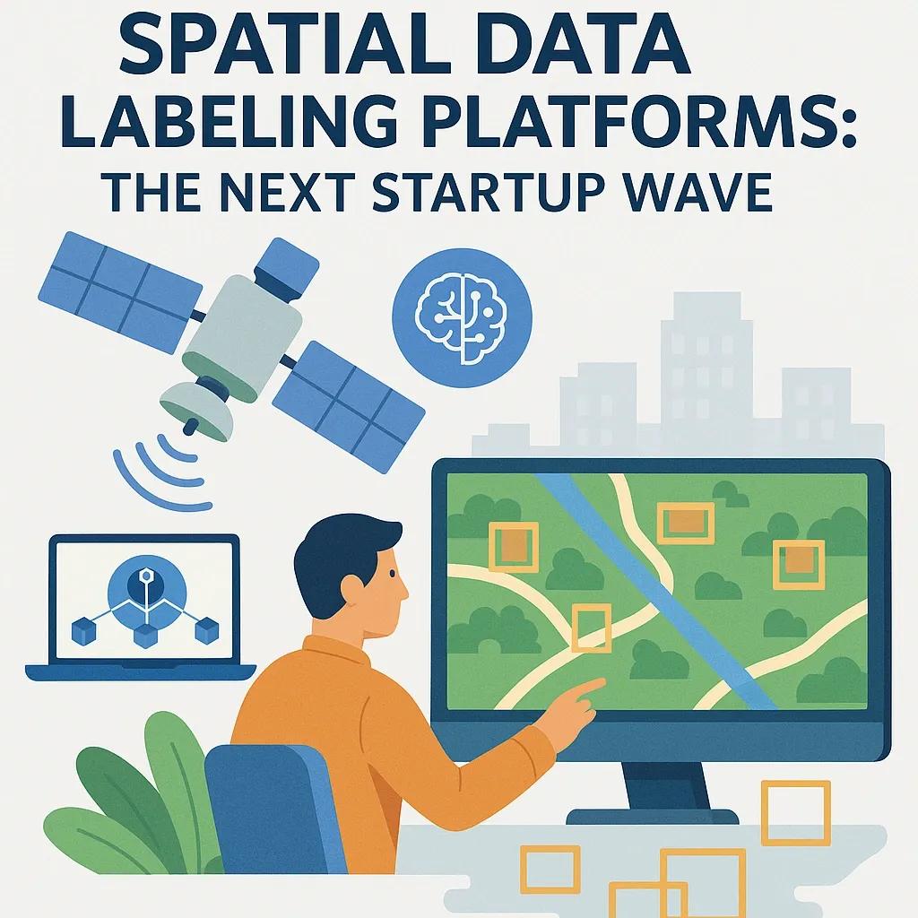
In the glamorous world of AI, there’s a dirty little secret: models are only as good as the data you feed them. And for GeoAI, AI applied to geospatial problems, that means high-quality, meticulously labeled spatial data. This is where AI-powered spatial data labeling platforms come in.
They promise automation, speed, and cost savings. Investors call them “the next startup wave.” I call them a race to see who can burn through their runway before realizing labeling is 80% human sweat and 20% algorithmic fairy dust .
The Problem Nobody Talks About
1. Manual Labeling Hell
Ask anyone who’s tried to build a GeoAI model, labeling satellite images, LiDAR point clouds, or aerial photos is brutal. It’s slow, expensive, and error prone.
Bounding buildings in 50-cm resolution imagery? Hope you enjoy click-drags for the next 6 months.
Classifying land use ? Congratulations, you’ve just entered a philosophical war on what “urban fringe” actually means.
2. Garbage In, Garbage Out (GIGO)
No matter how advanced your CNN or transformer is, bad labels = bad model. And “bad” here isn’t just wrong, it’s inconsistent, subjective, and riddled with regional quirks.
The Promise of AI-Powered Labeling
On paper, it’s beautiful:
Feed your platform a bunch of raw satellite or drone images.
AI pre-labels objects.
Human annotators just review and fix.
Output = pristine training data.
In reality?
Step 2 works… until your AI mistakes a solar panel for a swimming pool.
Step 3 becomes the main workload.
Step 4 is delayed because your “pristine” data still has entire neighborhoods missing.
Why Startups Are Flooding In
1. The TAM Illusion
Pitch decks love to throw “$17 billion geospatial AI market by 2030” . Investors nod. No one asks how much of that pie is actually data labeling.
2. “We’re the Figma for GeoAI!”
Every startup wants to be the “collaborative, cloud-native, AI-first” platform. Translation:
They added a drawing tool in the browser.
They slapped “AI-powered” on the landing page.
3. Labor Arbitrage
Offshore human labeling teams + thin layer of automation = cost savings. Until you realize quality drops and retraining costs more than doing it right the first time.
Challenges the Pitch Decks Don’t Show
Data Diversity Nightmare GeoAI labeling has to handle multiple data sources: multispectral imagery, SAR, point clouds, hyperspectral cubes. AI pre-labeling trained on RGB fails spectacularly when you swap the source.
Class Definition Hell “Forest” in India ≠ “Forest” in Finland. Even a so-called universal label ontology collapses when confronted with local definitions.
Scaling Human-in-the-Loop The AI gets you to 60–70% accuracy fast. Getting to 95% takes exponentially more human effort, the exact cost startups claim to “eliminate.”
A Use Case That Actually Works
Here’s the less desired truth: AI-powered spatial labeling can work, in high-volume, low-ambiguity use cases.
Example:
Use Case: Mapping road networks from high-res drone imagery for disaster recovery.
Why It Works: Roads have consistent patterns; AI pre-labels most segments correctly; humans just clean intersections and occluded areas.
Outcome: 40% less labeling time Faster model retraining Operational deployment in 2 weeks
The ROI (If You’re Lucky)
When it works, you get:
Speed: Cut labeling cycles from months to weeks.
Cost Savings: 30–50% reduced manual hours (but only if your use case is stable).
Scalability: Ability to label petabytes of spatial data over time.
But, and here’s the cynic in me, the average project never gets past the “cool demo” stage before hitting cost, accuracy, or integration walls.
What Will Separate Survivors from the Hype Casualties
If you’re betting on this space, here’s what actually matters:
Domain-Specific Models Generalist vision AI won’t cut it. Platforms must have pre-trained models for agriculture, urban mapping, forestry, etc.
Active Learning Loops The system must learn from corrections in near-real-time, otherwise, you’re just running expensive Photoshop with a lag.
Integration-First Approach APIs and connectors to GIS systems (ArcGIS, QGIS) and cloud data lakes (AWS, GCP) are non-negotiable.
Human QA Networks Skilled geospatial annotators remain irreplaceable. Platforms that respect and optimize human review will win.
Would You Adopt This Now or Wait?
If you’re in a domain with repetitive, well-defined labeling tasks, jump in. If your project needs nuanced, context-heavy interpretations, the ROI may not be immediate.
Conclusion
AI-powered spatial data labeling is both the next startup wave and a graveyard of over-promises. The survivors will be the ones who understand that “AI-powered” doesn’t mean “human-free,” and that in geospatial work, context is king .
Yes, there’s gold in training data. But ask yourself, are you ready to mine it, or are you just buying a shiny new pickaxe in a gold rush?