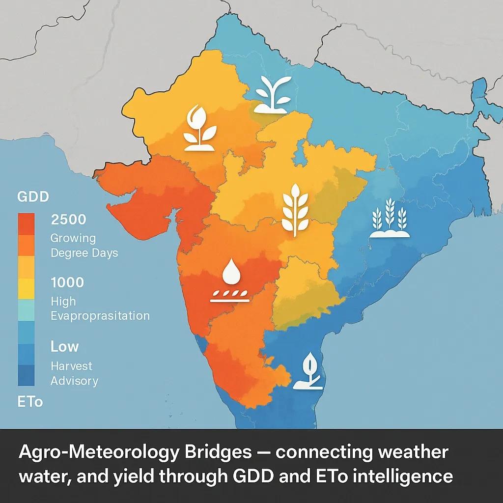
The Invisible Bridge Between Weather and Yield
Agriculture doesn’t respond to the calendar, it responds to climate signals .
Every crop, from rice to cotton, follows a biological clock tied not to days or months but to temperature, moisture, and solar energy.
Agro-meteorology is the science of translating these signals into action, connecting weather data, crop models, and farmer advisories through geospatial systems.
And the two most critical indicators powering this bridge are Growing Degree Days (GDD) and Evapotranspiration (ETo).
The Science: Crops as Thermometers and Sponges
Plants don’t just absorb sunlight, they accumulate thermal time and water demand in measurable ways.
🌡️ Growing Degree Days (GDD): The Heat Clock of Crops
Every crop grows within a specific temperature range, below which growth pauses, above which it declines.
GDD quantifies this growth potential over time.
GDD = {[T (max) + T (min)] / 2} - T (base)
Where:
T (max) and T (min) : daily max/min temperature
T (base) : base temperature below which the crop doesn’t grow
Cumulative GDD determines crop phenology , stages like germination, flowering, and harvest readiness.
💧 Evapotranspiration (ETo): The Crop’s Water Budget
ETo measures the combined evaporation from soil and transpiration from plants , essentially, how thirsty the land is .
Computed using FAO-56 Penman–Monteith equation , it depends on:
Temperature
Humidity
Wind speed
Solar radiation
ETo forms the baseline for irrigation scheduling , ensuring crops receive neither too little nor too much water.
Turning Data into Maps
Modern agro-meteorological systems map GDD and ETo across regions using satellite and weather station networks.
Parameter - Data Source - Spatial Resolution - Use Case
Temperature (for GDD) - IMD AWS / ERA5 - 10–25 km - Crop stage tracking
ETo - MODIS / FAO Climwat - 1 km - Irrigation advisories
NDVI/LAI - Sentinel-2, MODIS - 10–250 m - Crop vigor validation
Rainfall (for deficit correction) - CHIRPS / GPM - 5–10 km - Water stress detection
The fusion of these datasets creates agro-meteorological grids that feed into advisory dashboards and crop models.
India’s Agro-Met Advisory Infrastructure
India operates one of the world’s largest decentralized agro-meteorological systems:
IMD’s Agromet Advisory Service (AAS): Provides weekly district-level forecasts and advisories for 700+ districts.
DAMU (District Agro-Met Units): Local weather + crop data fusion centers across Krishi Vigyan Kendras.
ICAR & IITM Pune: Run models for phenology prediction, pest risk, and water balance using GDD and ETo layers.
Gramin Krishi Mausam Sewa (GKMS): Disseminates advisories via SMS, radio, and apps in local languages.
Every advisory that reaches a farmer today traces its roots back to these two core layers, thermal time and water demand.
Case Example: Cotton Crop Advisory in Telangana
In 2023, the DAMU network in Telangana integrated ERA5 temperature grids + AWS humidity data to model cotton GDD and ETo.
Findings:
Early onset of heat (>35°C) accelerated boll formation by ~10 days.
ETo peaked at 6.2 mm/day in July, suggesting additional irrigation cycles.
Weekly advisories recommended alternate-day irrigation and foliar spray timing based on cumulative GDD > 1,600°C-days.
Farmers who followed the advisories achieved 12–15% yield improvement with reduced water stress.
GeoAI and Predictive Advisory Systems
AI is revolutionizing agro-meteorological analytics by connecting live weather feeds with crop models.
LSTM Networks: Predict cumulative GDD for the next 7–15 days.
GeoAI Models: Fuse NDVI trends, rainfall, and ETo for crop health prediction.
Decision Support Dashboards: Translate these analytics into actionable advisories, when to sow, irrigate, or apply nutrients.
This fusion turns meteorological data into personalized, plot-level insights.
Building the Agro-Met Digital Twin
An Agro-Meteorology Digital Twin can bring together all dynamic layers in one ecosystem:
Inputs: Weather (AWS), satellite indices, soil moisture, evapotranspiration.
Processing: Real-time crop model updates.
Outputs: Field-specific advisories for sowing, irrigation, pest control, and harvest.
Such twins can even simulate “what-if” scenarios , e.g., how a 2°C temperature anomaly or delayed monsoon affects yield.
When coupled with AI, these digital systems evolve into self-learning advisory engines , adapting as each season unfolds.
Linking Farmers, Scientists, and Systems
The bridge between a meteorologist’s model and a farmer’s field is now digital, spatial, and adaptive.
Through GDD and ETo maps, agro-meteorology transforms abstract weather data into ground-level intelligence :
Predict growth cycles
Manage irrigation timing
Optimize fertilizer use
Prevent stress-driven yield loss
In short, it turns climate into a service , not a threat.
Conclusion
Every farm is a sensor, and every day is a datapoint.
By decoding thermal time and water demand, agro-meteorology builds the bridge that connects climate, crops, and communities.
The future of agriculture lies not in more rainfall, but in more intelligence.