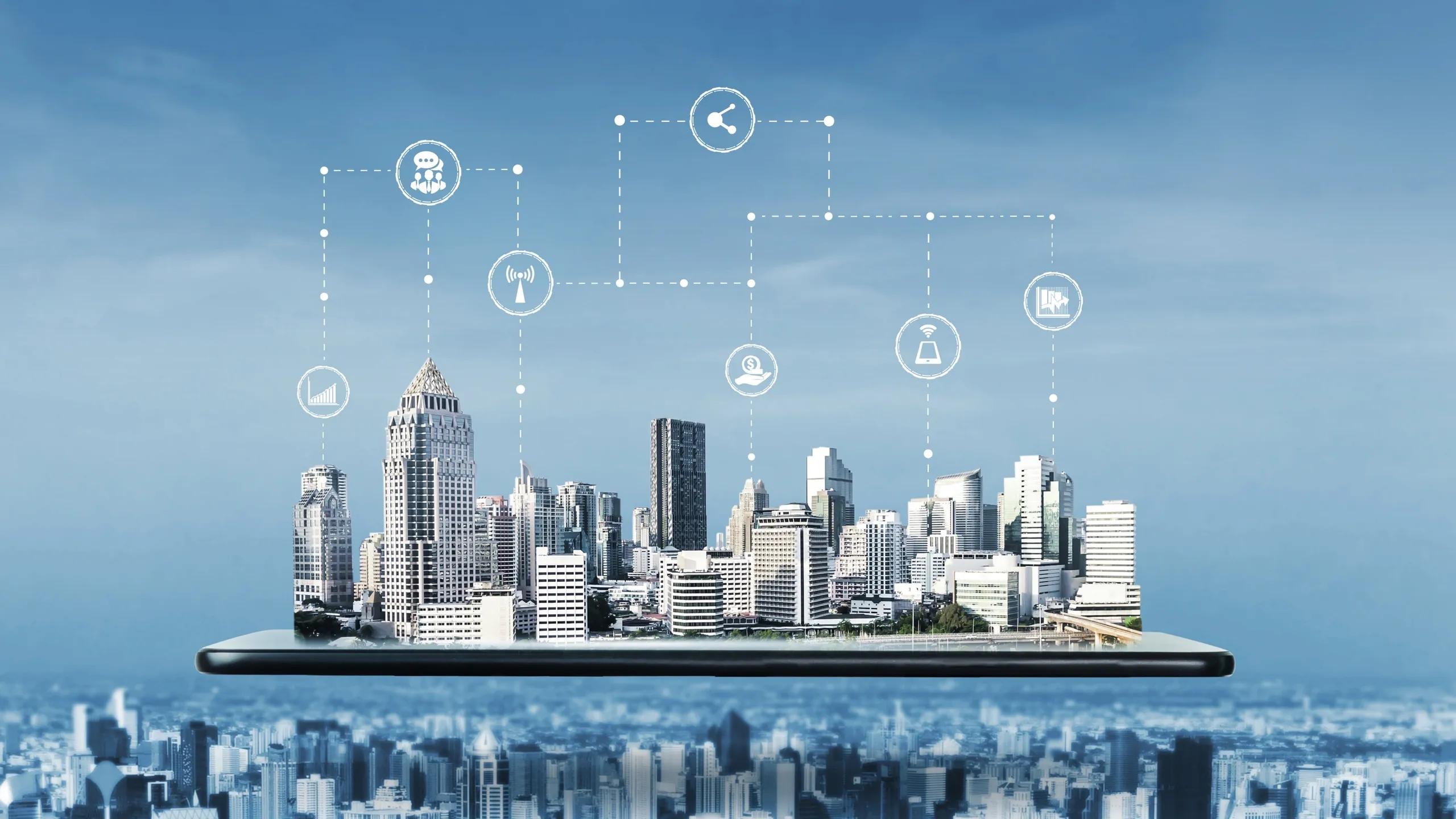
In the rapidly evolving world of urban development, smart cities are emerging as a response to the challenges posed by growing populations, resource constraints, and environmental concerns. Geospatial technology has become a crucial enabler for building smart cities, offering innovative solutions that integrate data-driven insights with advanced planning and management tools. Platforms like ours, which provide essential tools such as digital twins, 3D visualization, and real-time data integration, are at the forefront of this transformation. In this article, we explore ten keyways geospatial technology is reshaping the future of smart cities.
1. Optimizing Urban Planning and Infrastructure Development
Geospatial technology plays a pivotal role in urban planning by offering accurate and comprehensive spatial data that helps city planners make informed decisions. With tools like digital twins and 3D visualization, urban planners can simulate and visualize entire cities, enabling them to assess the impact of proposed infrastructure projects before they are implemented. This technology allows for more efficient land use, improved zoning decisions, and the identification of optimal locations for new developments. Our platforms provide urban planners with the ability to optimize resources and make data-driven decisions, resulting in smarter and more sustainable infrastructure development.
2. Enhancing Transportation and Traffic Management
One of the primary challenges for any smart city is managing transportation networks efficiently. Geospatial technology enables real-time monitoring of traffic patterns, congestion points, and public transportation systems. By integrating GPS data, road sensors, and satellite imagery, urban authorities can gain insights into traffic flow, allowing for better route optimization, congestion management, and even predictive modeling to anticipate future traffic conditions. Our geospatial solutions offer real-time data integration, enabling city authorities to streamline transportation management and improve overall mobility within the city.
3. Improving Environmental Monitoring and Sustainability
Smart cities aim to be sustainable and environmentally friendly. Geospatial technology plays a vital role in monitoring environmental factors such as air quality, water resources, and green spaces. With satellite imagery and IoT-enabled sensors, city administrators can track pollution levels, deforestation, and water usage in real time. These insights enable cities to take proactive measures to reduce environmental impact, ensure compliance with regulations, and promote sustainability initiatives. Our platforms support environmental monitoring by providing detailed geospatial data that helps cities optimize their natural resource management and enhance their overall environmental resilience.
4. Supporting Public Safety and Disaster Management
Geospatial technology is integral to improving public safety and disaster management efforts in smart cities. By integrating real-time data from surveillance systems, emergency services, and weather monitoring tools, cities can enhance their response to emergencies and natural disasters. For instance, geospatial platforms can help emergency responders quickly locate affected areas, plan evacuation routes, and allocate resources more effectively. Our geospatial solutions offer precise data visualization and analysis tools that aid in real-time decision-making, helping cities minimize the impact of disasters and protect their citizens.
5. Facilitating Smart Utilities and Energy Management
Energy management is a critical aspect of smart city operations, and geospatial technology is helping cities optimize their utility networks. By mapping out energy grids, water pipelines, and other utilities, geospatial platforms enable city planners to monitor usage patterns, identify inefficiencies, and predict future demand. Our 3D visualization and real-time data integration tools allow utilities to detect issues such as leaks or energy losses, enabling quicker repairs and more efficient resource allocation. Additionally, cities can use geospatial data to plan the integration of renewable energy sources, such as solar and wind, into their grids, promoting a more sustainable and resilient energy system.
6. Enabling Smart Waste Management Solutions
Waste management is another area where geospatial technology is making significant strides. By tracking waste collection routes, monitoring landfill sites, and analyzing waste generation patterns, cities can optimize their waste management processes. Geospatial platforms allow authorities to design more efficient waste collection routes, reducing fuel consumption and operational costs. Additionally, real-time data from sensors embedded in waste bins can alert waste management teams when collection is needed, preventing overflow and maintaining cleanliness in the city. Our geospatial tools help smart cities implement data-driven waste management solutions that contribute to cleaner, healthier urban environments.
7. Improving Citizen Engagement and Public Services
A key goal of smart cities is to enhance the quality of life for their citizens, and geospatial technology is helping to achieve this by improving access to public services. Through interactive maps and mobile applications, citizens can access real-time information on transportation, health services, and public facilities. For example, residents can check public transport schedules, locate nearby healthcare providers, or report issues such as potholes or broken streetlights. Our geospatial solutions facilitate this level of citizen engagement by offering intuitive tools that connect citizens with the services they need, fostering a more connected and responsive urban environment.
8. Promoting Smart Agriculture and Food Security
Urban agriculture is becoming increasingly important in smart cities as they strive to become more self-sufficient and reduce their carbon footprint. Geospatial technology supports smart agriculture by providing data on soil conditions, water availability, and climate patterns. This data helps urban farmers optimize crop production, manage resources efficiently, and mitigate the impacts of climate change. Additionally, geospatial platforms can be used to monitor food supply chains, ensuring that food is distributed efficiently and reaches consumers in a timely manner. Our geospatial tools offer smart cities the ability to promote sustainable agriculture practices and ensure food security for their growing populations.
9. Streamlining Real Estate and Land Management
Managing real estate and land assets is a critical challenge for smart cities, especially as they continue to grow. Geospatial technology helps streamline land management processes by providing accurate data on property boundaries, land use, and ownership. This information can be used to simplify property transactions, ensure compliance with zoning regulations, and prevent land disputes. Additionally, geospatial platforms allow for the creation of digital land registries, which can improve transparency and reduce fraud in real estate transactions. Our 3D visualization and mapping tools make it easier for city planners and real estate developers to manage land resources effectively, promoting a more organized and transparent urban landscape.
10. Driving Innovation through Digital Twins and Smart City Models
One of the most exciting applications of geospatial technology in smart cities is the creation of digital twins—virtual replicas of physical spaces that can be used for simulation, analysis, and decision-making. Digital twins allow cities to model various scenarios, such as the impact of new infrastructure projects or changes in population density, in a risk-free environment. These models can also be used to optimize city operations, from traffic management to energy consumption. Our digital twin technology enables smart cities to harness the power of real-time data and advanced simulations, driving innovation and improving overall urban management.
In conclusion, geospatial technology is transforming smart cities by providing the tools and insights needed to address the complex challenges of urbanization. From optimizing infrastructure development to enhancing citizen services, our platforms are at the forefront of this revolution, helping cities become more sustainable, efficient, and livable. As the demand for smart city solutions continues to grow, the role of geospatial technology will only become more critical, driving innovation and shaping the future of urban living.
By leveraging the power of geospatial intelligence, smart cities can not only improve the quality of life for their citizens but also ensure a more sustainable and resilient future for generations to come.